
A comprehensive guide to hiking in Uzbekistan with an overview of some of the best hiking trails in the country. Read on to learn more about which mountains in Uzbekistan, where to stay and useful hiking tips and resources.
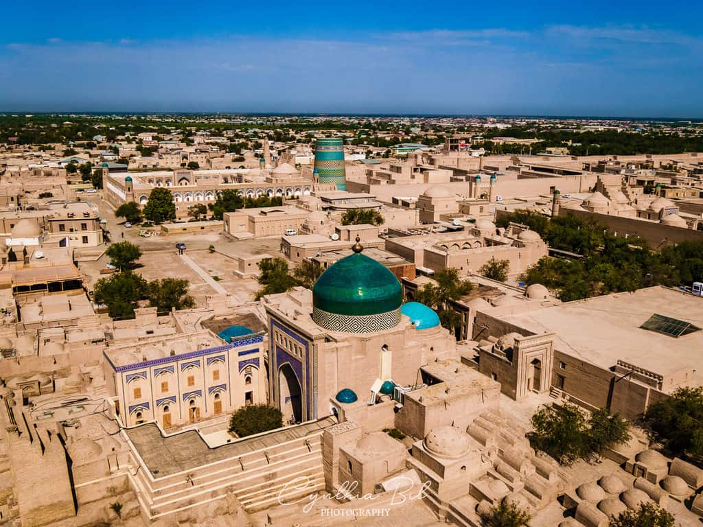
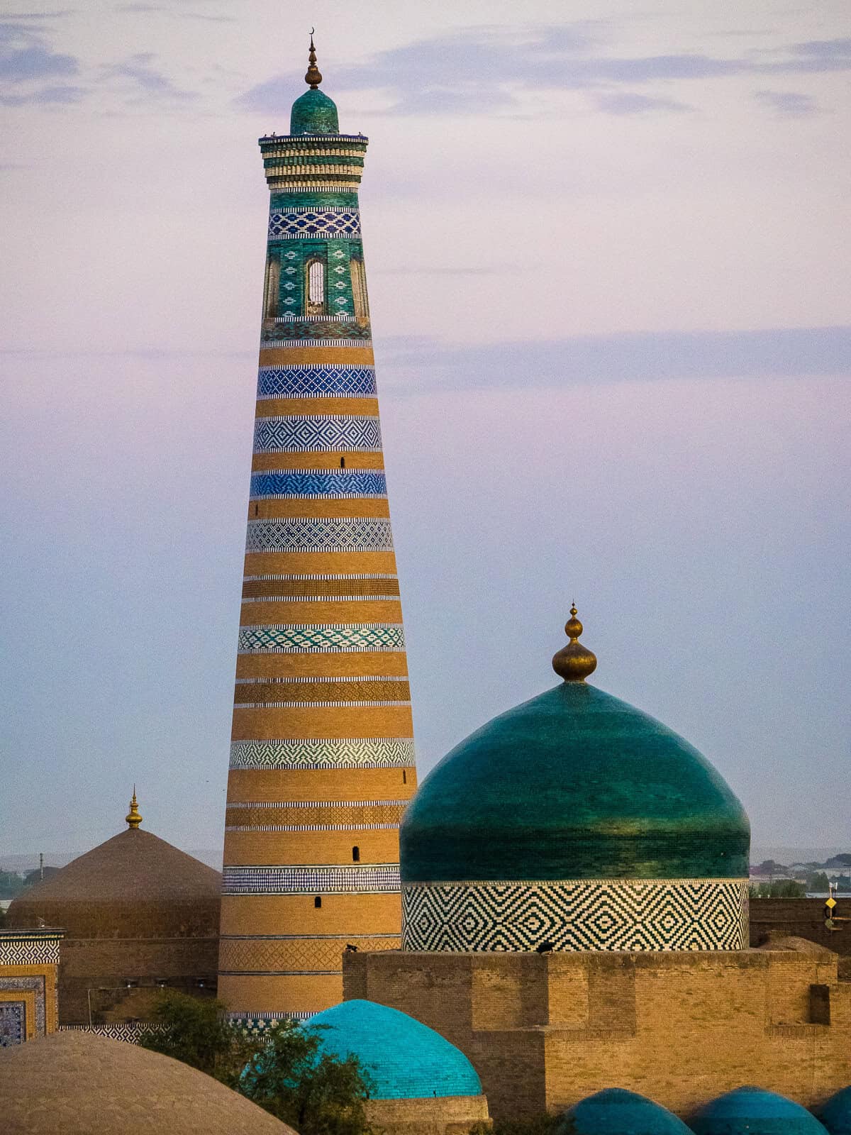
When dreaming up an image of Uzbekistan, many will immediately think of its striking Silk Road cities adorned with turquoise-tiled domes and a myriad of minarets and mausoleums.
My memories are a little different… they’re filled with Uzbekistan’s peaceful landscapes, rolling mountain tops and smiles from villagers. Hiking in Uzbekistan is remarkable for its varied trails, which make the country a unique and undiscovered destination for walking.

The Nuratau and Chimgan mountain ranges each have their own beautiful characteristics and through staying at guesthouses with villagers and camping, I was taught so much about the Uzbek way of life.
In this comprehensive guide, I’ll take you through what makes Uzbekistan so wonderful for hiking, which mountains in Uzbekistan to visit, where to stay and my top tips for your adventure.
Tip: See my Uzbekistan Travel Page for a complete overview of all my travel guides and blog posts about Uzbekistan!
Disclaimer: This posts might contain affiliate links, meaning that if you make a purchase through these links, I may earn an affiliate commission. Thank you for helping to support this website!
Disclaimer: This publication is made possible by Responsible Travel. The contents of this publication are the sole responsibility of Samantha Jagger of Journal of Nomads and are a reflection of her personal experiences of this trip.
Responsible Travel, the only community-based tourism group in Uzbekistan, organized this incredible trip! RT began as a non-for-profit organization and provides guesthouses in the mountains with logistics and support.
I was sent to meet RT and to document the work they do. Most of Cynthia’s partners in Central Asia work in community-based tourism, which she’s incredibly passionate about.
CBT strengthens independent businesses and has local people at its core. It is also responsible for promoting and developing a lot of outdoor activities and hiking trails around Uzbekistan. They help with marking and mapping new trails around the country.
If you want to obtain more information about a trail’s difficulty level or condition, it’s a great idea to contact them first. They organize tours the same way different travel companies would but give some of the profits back to the local community. Responsible Travel also received an international award for socially responsible tourism, and their CBT project was recognized as one of the two best projects in the world in 2023 by Berlin International Tourism Fair (ITB).
Plan your trip to Uzbekistan
- 18 important things to prepare your trip to Uzbekistan
- 26 beautiful places to visit in Uzbekistan
- Uzbekistan Itineraries: 1 to 4 weeks in Uzbekistan
- How to travel around Uzbekistan by train
- What to pack for Uzbekistan
- Uzbekistan Safety Guide
- Uzbekistan Money Guide
- Tours & Experiences: Guided City Tours in Uzbekistan, Adventure Tours in Uzbekistan
Where are the Nuratau and Chimgan mountains in Uzbekistan?
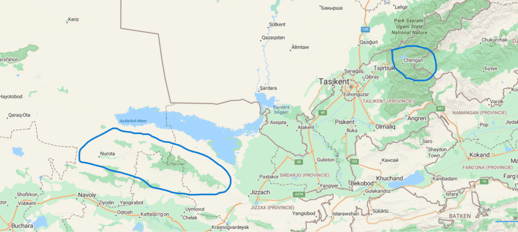
The Nuratau range is located around 250km west of Tashkent, north of the city Samarkand. The mountains extend between the Kyzylkum Desert on the west and the eastern Barren Steppe. If you take a quick look on a map, you can see the peaks also sit south in parallel to Uzbekistan’s largest lake, Aydar Lake.
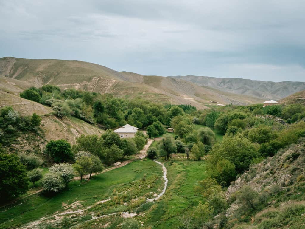
Depending on the season, the area bustles in agricultural activity: mulberries, walnuts and pistachio trees all flourish here. Its tiny villages are nestled in the Nuratau range, where many families have farms and homestays.
The Chimgan mountains sit tall in the Ugam-Chatkal National Park, which is about 80km east of Tashkent. One of the park’s most mighty attractions is the Greater Chimgan mountain, which is Uzbekistan’s largest peak at 3,309m.
In contrast to the unknown Nuratau area, the park is popular for nature lovers. It’s home to a ski resort in Beldersay and has many established trails winding throughout the valleys.

Why hiking in Uzbekistan?
During my trip, a few people messaged me and asked if I thought somewhere like hiking in Kyrgyzstan was more beautiful. If you didn’t know Uzbekistan, you’d be inclined to believe the country’s mountains live in the shadow of its neighboring countries like Kyrgyzstan and Tajikistan.
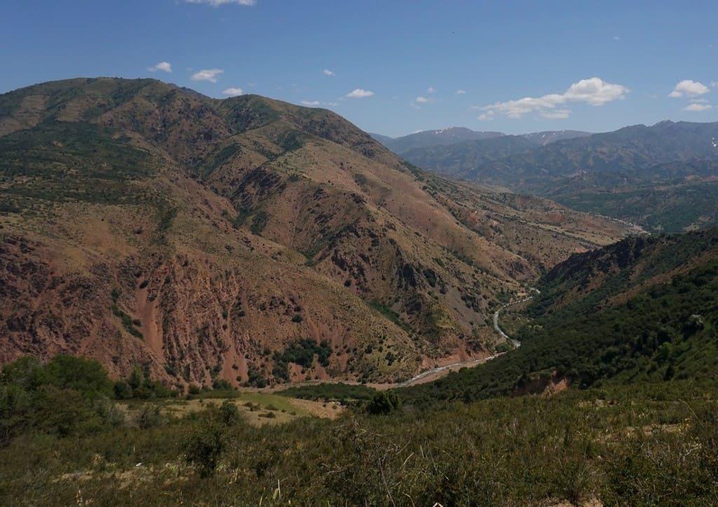
The Chimgan and Nuratau mountains don’t have twisting spires of rock and needle-like peaks that are nectar to climbers. Uzbekistan is lower in altitude, arid and flatter, but with this comes beautiful rolling mountains, meadows and hundreds of tiny villages nestled in valleys.
While the Tian Shan ranges are so striking and staggering, Uzbekistan is different and it’s important to embrace the beauty of the difference.
Uzbekistan radiates joy, both in its magnificent landscapes and its people. My warmest memories were gifted by the families I stayed with, who shared their stories and their way of life with me.
In the Nuratau mountains, hundreds of tiny villages are nestled in the valleys. The rolling hills provide thousands of possible trails. The beauty of this means you can link up a route across the range and stay in cozy guest houses along the way. I learn a lot from nature, but on this trip, I was taught so much about how the mountains provide so much for the Uzbek people.
I was fortunate to experience both mountain ranges which are different in terrain. The Chimgan Mountains are home to the largest peaks in Uzbekistan. It’s a little cooler compared to Nuratau, and with this comes roaring glacial rivers and snow-capped summits.

Due to its close proximity to Tashkent, its ski resort and its enticing climbs, Chimgan does have a higher population of tourists than Nuratau. This means there are hotels dotted about rather than village guest houses so you probably won’t get that same authentic experience. My advice would be to combine both hiking opportunities on your trip.
Another attractive quality about roaming around in Uzbekistan is this: Uzbekistan’s Silk Road tourism is well-tread.
Every year, thousands of visitors flock to charming cities like Samarkand, Khiva and Bukhara, fascinated by its history. But its hiking trails remain undiscovered.
You won’t come across many tourists or irritating influencers. You’ll be at total peace (aside from the donkeys, cockerels and goats that were my morning alarm).
In my mind, this was the best form of tourism because I was in a remote place, experiencing something completely real and supporting village life at the same time.
Can I hike alone in the mountains of Uzbekistan or do I need a guide?
I’m very independent and I love hiking on my own. There’s nothing like it. When walking in a village or up by a nearby hill in Uzbekistan, I would do it on my own, no bother.
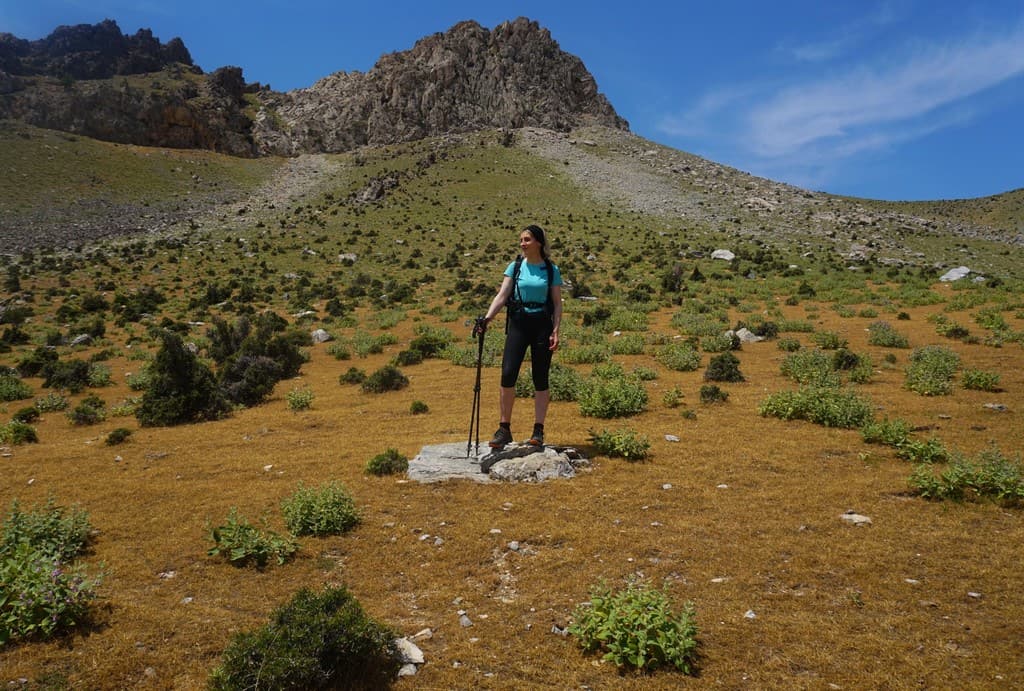
However, because the Nuratau mountain villages are relatively new to tourism, it’s very useful to have a guide with you on longer routes. Reasons include that your route may need to change (if a shepherd has a grumpy dog) or you get into an emergency situation (there is poor signal and your guide will be able to get you help in the next village).
Hiking on your own in a new country often means you don’t learn too much about its history, unless you speak with someone who knows the mountain ranges well, which is another benefit to having a guide.
My guide Sherali did his absolute best to accommodate what I would like, according to my fitness, on every day of the trip. We even went rock climbing in Tashkent!
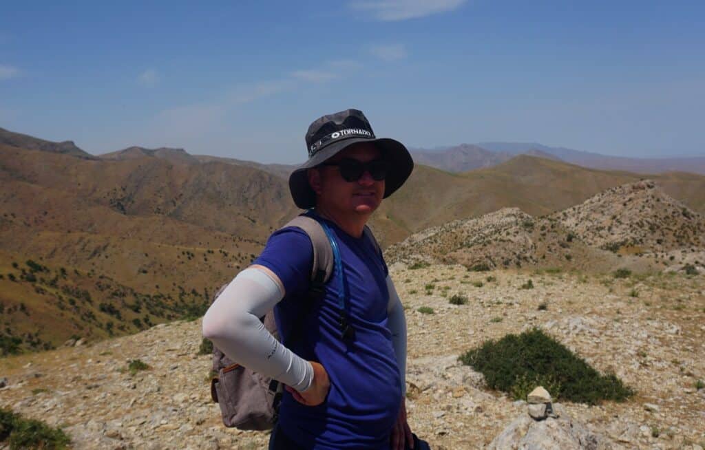
Going on a tangent here, but I asked Sherali if he had been rock climbing before, he said no, but he had seen videos and always wanted to. I grinned and immediately started searching for climbing walls. We found one in Tashkent and squeezed a trip in there for a few hours. He FLEW up the wall and was beaming for the rest of the day. He later told me, ‘I welcome you to Uzbekistan, you welcome me to climbing’. It was just beautiful.
Going back to my point: my guide went above and beyond to make the trip memorable and wonderful. It was part of my hiking experience and I couldn’t have imagined it without Sherali.
If you were super keen on doing some routes on your own (i.e. from village to village), I’m sure the guide would be able to accommodate it. Ensure you have a strong GPS map, plenty of water and an ETA provided to the guest house.
I think hiking alone is more possible in the more touristy parts of Chimgan. You could always ask your guide to drop you off at the ski resort of Belserday and do some wild camping and hiking for a few days. If you weren’t using the services of a porter or a guide, you could pack all you need on your back and head out.
Need Travel Insurance for Central Asia? I use and highly recommend HeyMondo Travel Insurance. As a reader of Journal of Nomads, you get a 5% discount off your insurance plan!

If you would like to organize a trek to the mountains with a local guide, you can always contact me and I’ll put you in touch with them!
You can also book a few hiking tours in Uzbekistan online:
When is the best time to go hiking in Uzbekistan?
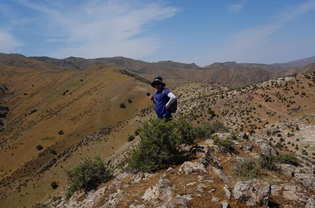
Uzbekistan gets HOT in summer. My mountain guide Sherali said it often tops 40 degrees in the Nuratau range in July and August. Even when I was there at the end of May, on our first day of hiking, it clocked 32 degrees. I was a sticky, knackered puddle (don’t get me wrong, I still loved it).
I soon found out the hotter temps shaved off around 10k on the distance I could do in a day. It’s harder to breathe, you need to take short regular breaks and carry bucket loads of water. I had to wring out sweat from my top at least once a day. Delicious.
There are ways around the heat though. Get up at sunrise, when it’s cooler, and start your day. Guesthouse owners and guides are up at first light anyway because of prayer.
It comes at no surprise that the optimum time to get out into the mountains is in early spring and autumn. I’d recommend planning your trip in late March, April, early May, late September and October.
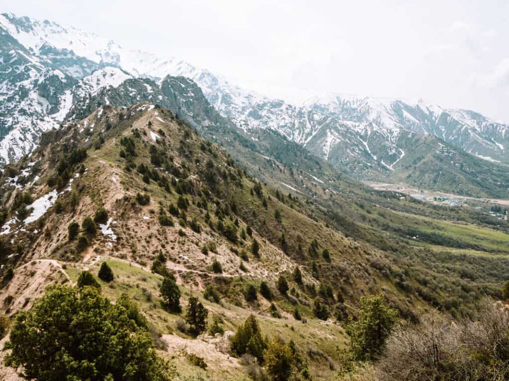
With late March and April, snow is likely to be capped on the peaks, so make sure you pack the correct gear to prepare you for both snow and sun.
I also have to add that by the time I was there in late May, spring’s vegetation in the Nuratau mountains was withering away (I walked through thousands of shriveled, crispy rhubarb plants). Summer’s arid climate was full steam ahead. I would love to come back and see these mountains in fresh bloom in March or April.
Walking in the winter months can be difficult and dangerous due to avalanches and cornices. In January, temps can drop to -15 degrees. Under the snow drifts there are veneers of tacky ice which can catch you unawares.
Sherali told me some crazy stories involving people insisting to go out despite his voiced concerns. They fell multiple times, plunging waist-deep into snow, descending through the ice and into stinging-cold water. I wouldn’t advise tackling Uzbekistan’s mountains in the height of winter, unless you absolutely know what you’re doing and have an experienced guide.
Something else to consider too is the tourism season runs in spring and autumn. Summer and winter can be harder to organize accommodation with guesthouses.
Do you want to go hiking in Uzbekistan? Join my 14-day Highlights of Uzbekistan Adventure Tour!
Step into the heart of the Silk Road and experience Uzbekistan beyond the guidebooks: from the blue domes of Samarkand to remote desert landscapes and hidden mountain trails.
Join the 14-day Highlights of Uzbekistan Adventure Tour and experience the country in a deeper, more meaningful way!
Is Uzbekistan safe?
When I told my friends and family about my trip back in January, some struck up worried concerns. ‘You’re going where?’ ‘Why?’ I shrugged it off and put it down to that it was their fear of the unknown. I think countries like Uzbekistan are still relatively unknown to many people in western Europe. After I returned, I showed them my photos and relayed my stories. They soon were asking how they could make a trip like this happen for themselves ;).
In my experience, I have found Central Asian people to be some of the kindest, most welcoming and gentle I’ve ever met. As soon as I stepped foot in both Kyrgyzstan and Uzbekistan, I immediately felt safe and have been treated excellently.
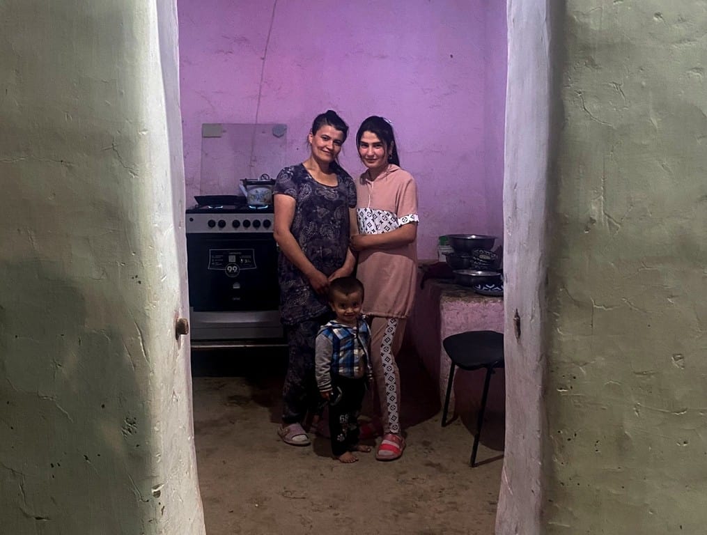
There may be cases of petty crime such as pickpockets, especially in crowded places and in the bazaars of Tashkent, but they don’t happen often. Just always keep your valuables in a safe place, no matter where you are in the world. To put it into context, I have been in far more dangerous situations in European countries (we’ll do story time another day :P).

There are a few venomous creatures who have made themselves cozy in Uzbekistan such as snakes and black widow spiders. I can confidently say though, this is NOT a danger you need to be alert for really. Snakes are only wiggling around in summer in remote parts in the mountain valley – just be aware when you’re in arid parts and you’re stepping on big leaves.
Now, the black widows. Sherali told me about this and I thought it was so cool! Black widows are super rare and absolutely tiny. Shake your shoes before putting them on and shake your sheet before you sleep. Easy. Don’t worry, you’ve got more chance of slipping on a banana skin and flying off a mountain than getting bitten.
The only immediate danger I can really think of is the shepherds’ dogs and this isn’t exclusive to Uzbekistan, this is a general comment. In Central Asia and places like the Caucasus Mountains, dogs are bred to protect their family and their flock from wolves. They get a little tetchy if you wander into their territory. The shepherd is the big boss and the dogs will know his call.

One time we wandered into a field, where a flock of sheep were grazing, and within seconds, a dog came snarling towards us. It then called over its gang and we were surrounded by pissed-off pooches who weren’t messing around.
Our mountain guide threw rocks at the dogs (tried and tested method across all of Central Asia and the Caucasus) and finally a shepherd lazily woke up from his sleep and called off the hunt. Our mountain guide immediately contacted the park rangers and reported the issue.
Maybe this sounds a little scary to you, but I still felt safe in the presence of the mountain guide and trusted his experience. I think it would have been a different story if I was hiking on my own. The guide’s advice was to throw rocks, maintain your focus with the dog and back away slowly.
What you need to pack for hiking in Uzbekistan
This checklist is written on the assumption that you’ll be hiking in spring or autumn.
> Polyester or similar material t-shirt (no cotton, it absorbs sweat in a seriously pungent way and doesn’t dry when you give it a wash). I wore one polyester t-shirt for my entire trip and it was brilliant. I washed it out in the sink every night and it dried within an hour.
> Long, lightweight hiking trousers or gym leggings that cover your knees. You won’t want anything too heavy and you’ll need to cover your legs out of respect.
> Waterproof jacket and trousers. Even on my May trip, a huge thunderstorm stewed up out of nowhere and the rain came down in lashings. Although I soon warmed up, the temps dropped instantly. Don’t be a drowned rat in the mountains and prepare for rain.
> Trail runners or lightweight walking boots. Trail runners were perfect for me, especially as I was hiking in higher temps. You won’t want massive clunky boots when the majority of walking will be on dry ground. On my trip, there were many river and stream crossings. Being so clumsy, I fell in the water countless times. By the end, I would just wade through up to my knees and avoid leaping on rocks. My trail runners were not gore-tex, meaning they usefully dried very quickly so that’s something else to consider.
> Snow gear, more likely needed for the Chimgan mountains. Again, on most peaks you should be fine, but on the bigger peaks in March/October, you may want to think about crampons/walking axe. I could still see Greater Chimgan’s tip blanketed in snow when I was there at the end of May. If in doubt, your guide should be able to advise on this.
> I brought a Buff headband, which I think is one the most useful clothing items I own. You can use it as a headscarf to protect from sun, sweat-mopper, scarf if you get cold, hair bobble, and if it all goes to pot, a tourniquet.
>Trekking poles. Up until recently, I stubbornly thought I didn’t need poles. How wrong I was. They changed my hiking game completely. These are like an extra pair of legs and are BRILLIANT for balance, tricky ledges and river crossings.
> Sunscreen. Get factor 50. You won’t have shade and you’ll be sizzling like an egg in a frying pan if you’re not careful.
> Biodegradable toilet paper. Yep, you can thank me later. Traveler’s tum will creep up on you when you least expect it. Even if it’s biodegradable, I don’t leave my paper. I’ll always carry a freezer bag and carry that until I can correctly dispose of it. For wees, I use a Kula Cloth, which is essentially an antimicrobial piss rag. It works like a dream. No waste, no bad smells and you can leave it to dry tied to your backpack.
> Whistle. How small it might be, this whistle could save your life when you end up in an emergency situation – you want to shout for help but your voice is lost in the wind. Blowing in a whistle is less tiring and the noise can be heard from miles away across the mountains. Any shepherds or other hikers who might be in the area will be able to hear you and locate your position by following the noise. An emergency survival whistle doesn’t have to cost much and definitely doesn’t take much space!
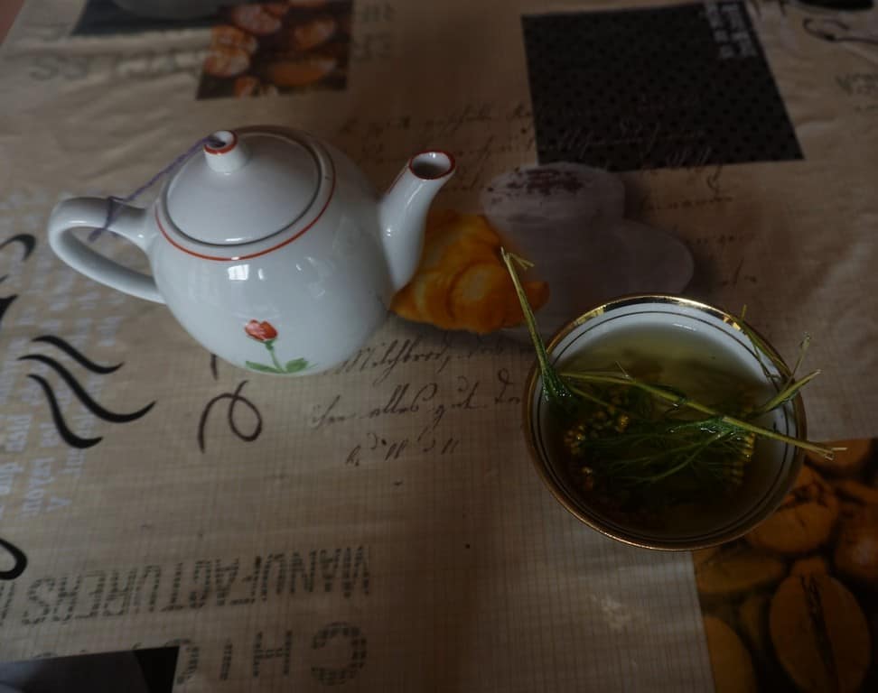
> Anti-diarrhea tablets. Maaaaan, did these little fellas save me. Traveler’s tum hit me like a sack of bricks during my trip and it was… explosive. I really would have struggled doing eight hours of hiking/horse riding per day if it wasn’t for these. One of my guides actually brewed up some mountain herbs which helped cure it, but I wouldn’t rely on this as your only option.

Where to stay in the Nuratau Mountains
Here’s a list of the places I stayed on my trip. Some can’t be booked online so if you would like to stay in one of those guest houses, please contact me and I will put you in touch with Responsible Travel.
Sayyod Yurt Camp
On my arrival at Sayyod Yurt Camp, I had dinner with the owner of Responsible Travel, Sherzod. He told me about how important community-based tourism was to him and the positive impact it has had within the villages.
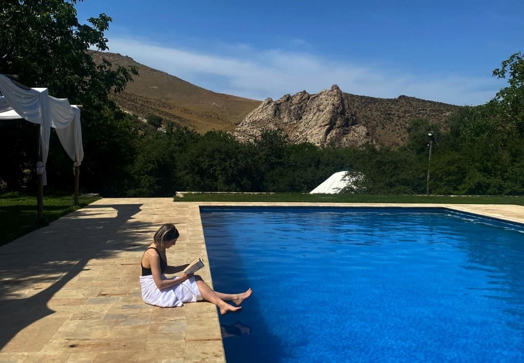
We talked about how RT was started and his dreams for the company. During the Covid lockdown, Sherzod and his family built the yurt camp and a stunning swimming pool. Guests now come and explore the area and use the camp as a base for activities.
I felt so at home as soon as I arrived and everyone made me feel so comfortable. The food cooked here was some of the best I had in Uzbekistan! The facilities included several showers and western toilets, WIFI, cozy yurt beds and a swimming pool.
Favorite memory: On my final night here, we lit a fire. Looking up into the distance, one of the limestone peaks was glowing white! (Moonlight or light pollution, but I like to think moonlight ;)).

Sentob, Rahima’s guesthouse
Rahima and her husband Gulmurod run this lovely little place. They are both so kind and will go above and beyond to help you.
It has a beautiful garden with sloping walnut trees, which are ideal for basking under in the heat of the day. The rooms are spacious and the facilities include western-style toilets and hot showers. Rahima and Gulmurod kindly brought us cherries, cold beer and fresh plum juice after our hike.
Favorite memory: I do actually talk about this further down with the Sentob hike, but I’ll condense it down here. Gulmurod and his childhood friend insisted I joined them at the table with vodka after dinner. So. much. Vodka. Oh god, and cognac. This was six hours before our hike up into the mountains the next day. Incredibly, Sherali still had smiles on his face, even though he apparently went to bed at 2am.
Majerum, Muhammad Ali Guesthouse
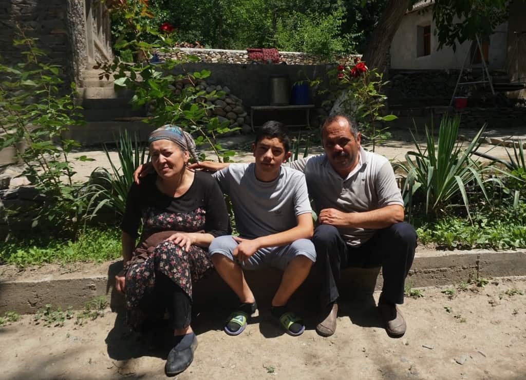
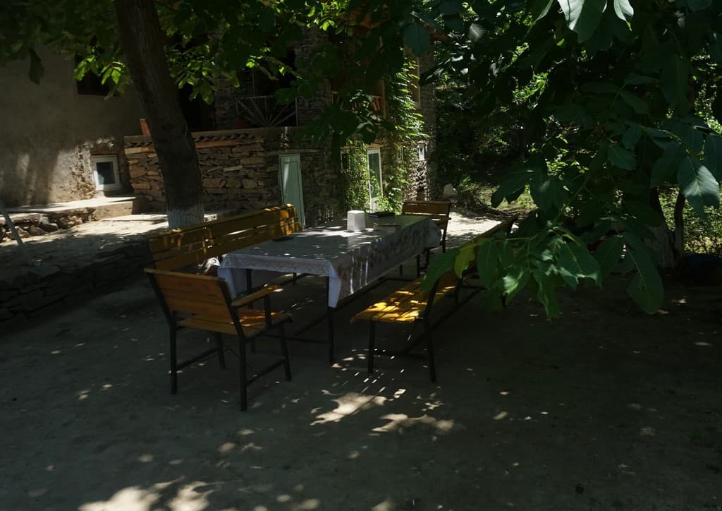
Muhabbat and her husband Qoldosh run a guesthouse and an on-site apricot and walnut farm in the green valley of Majerum. This place is really magical. It was so peaceful. It has cozy beds, western-style toilets and hot showers.
The farm is a 20 minute walk away from where one of the oldest trees in Uzbekistan grows. Qoldosh took me. The walnut tree is estimated to be 1,300-years-old and its 24ft wide. It’s sacred to Uzbek people and is cared for by the villagers.
Muhabbat said she wanted people to come stay at her guesthouse so visitors can understand her hard work and see her husband’s agriculture. Every breakfast, lunch and dinner was sourced from their farm. I was so sad to leave!
Favorite memory: Qoldosh and Muhabbat speak Tajik, but our language barriers didn’t stop us from laughing. We had so many jokes acting out questions, one being when Muhabbat asked if I had any children. She wildly flicked her hands down from her stomach and said ‘flush flush flush’. It took me five minutes to understand what she was saying and then we couldn’t stop laughing.
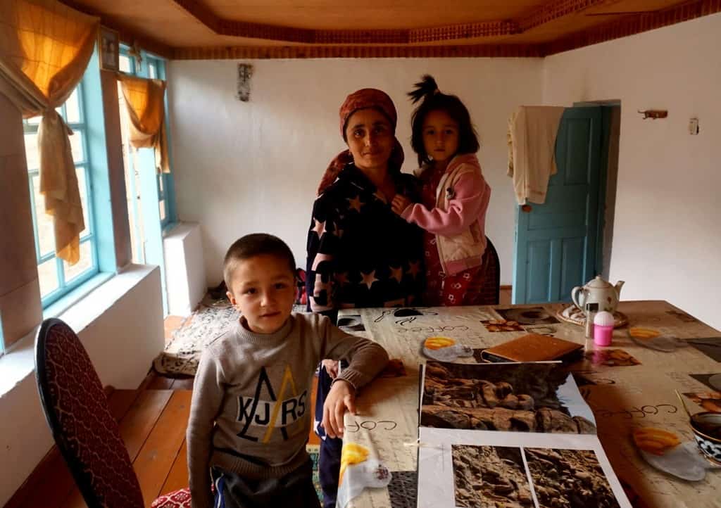
Hayat, Muso Baraka Nur Guesthouse
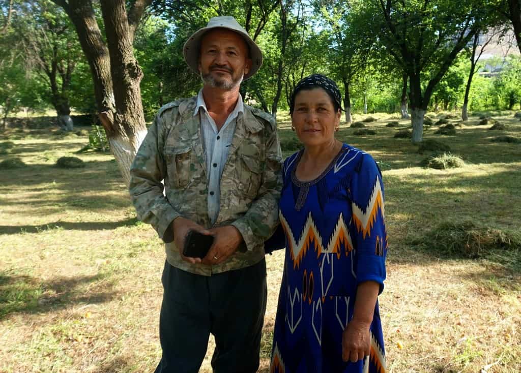
Each guest house held a special place in my heart. The family here is so gorgeous and kind. Shodmon helps his father Parda run the place in the weeks he isn’t at university.
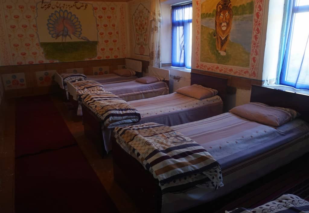
Shodmon told me that he and two other families were the first to settle in Hayat several hundred years ago. They have both winter rooms and summer rooms (further down in the valley). I slept so well here. Their facilities include hot showers and western-style toilets. Every ingredient of the dinners at Muso Baraka Nur guesthouse is freshly prepared and sourced from their farm in Hayat.
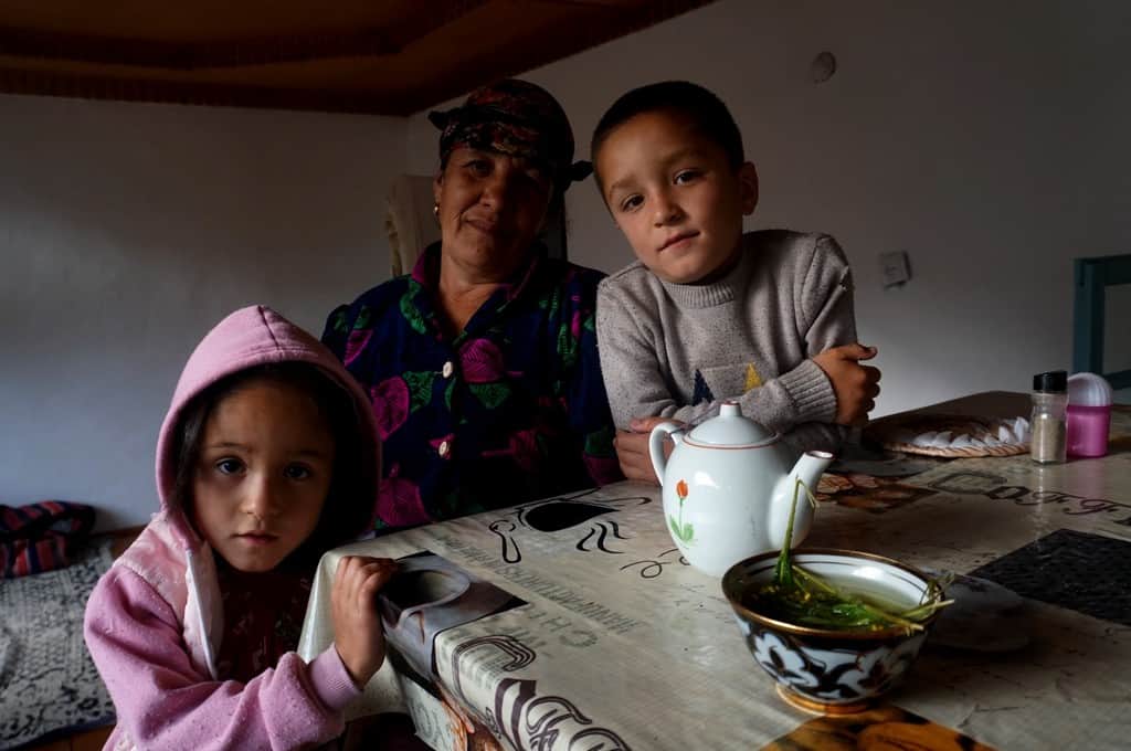
Favorite memory: I spent a lot of time chatting to Tugloy, Parda’s wife, and playing with Parda’s grandchildren Rano and Baxtiyor. Baxtiyor sat me down with his photo book about mouflon rams and pointed to the parts of Uzbekistan they are found. We read it three times. Rano was far more interested in my nose piercing. I showed them a picture of when I was toothless as a toddler which they thought was absolutely hilarious.
Asraf, Arslon Guesthouse
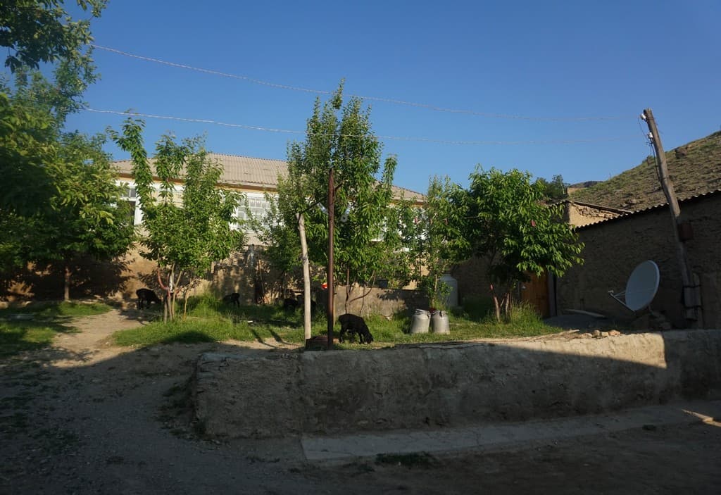
Another little village paradise and another lovely family to spend time with. I was fed so well here and the owner Aslon took excellent care of me. The guesthouse has two blocks with huge rooms, western-style toilets and a hot shower. Sounds of children laughing, cows mooing and cockerels crowing fills the yard.
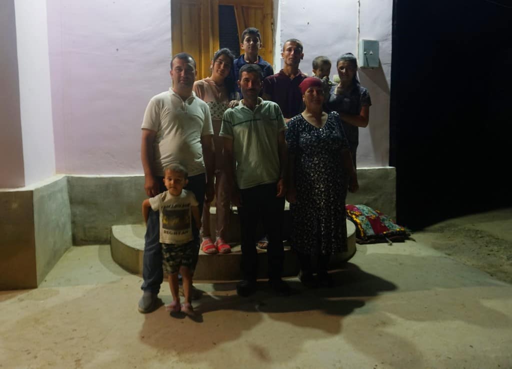
Favorite memory: I asked to take a photograph of Aslon and his family. Within minutes he asked his entire family to get in the frame. I absolutely loved it. Everyone started directing each other about where to sit and stand. It made me laugh so much.

Camping in the Chimgan mountains
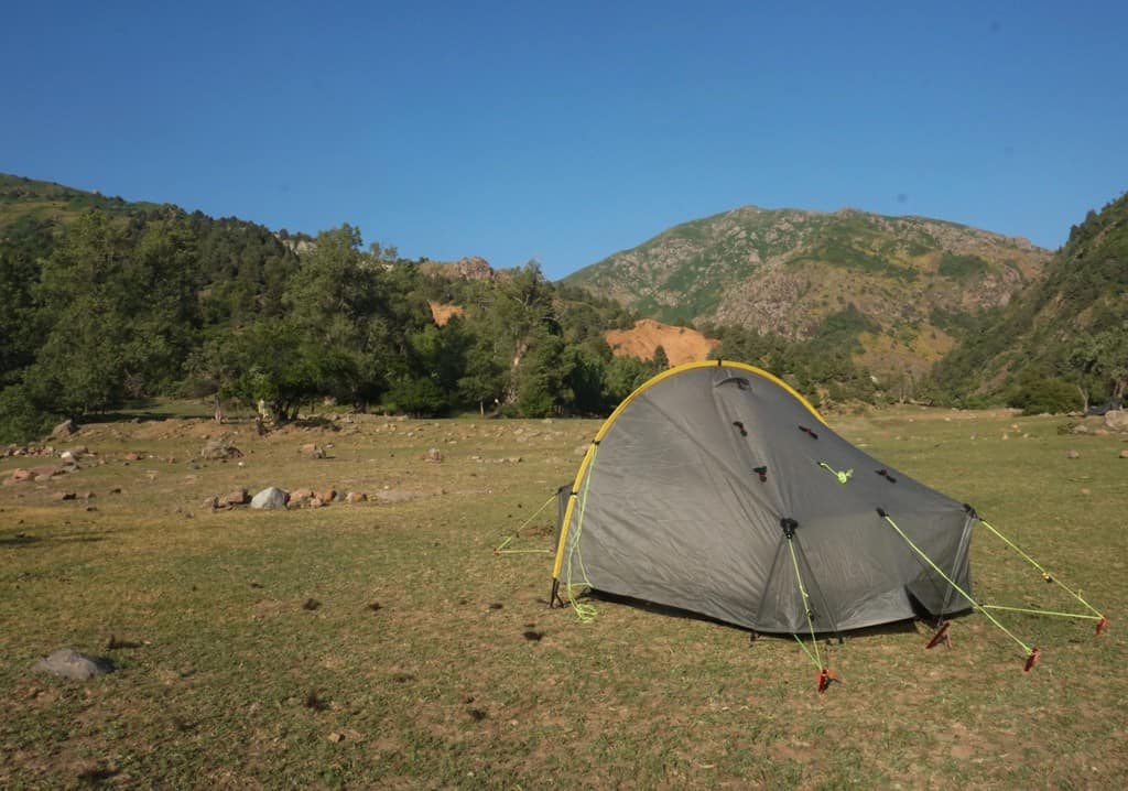
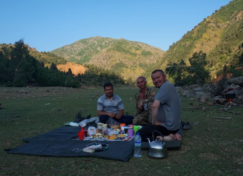
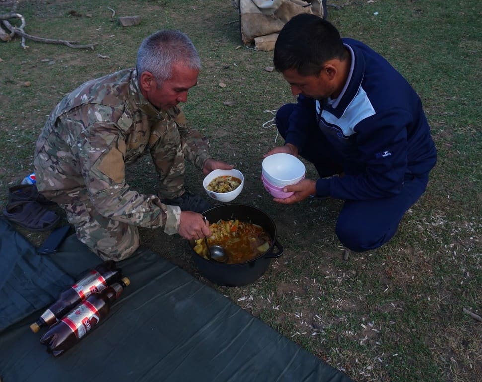
On our trip to the Chimgan mountains, Responsible Travel provided a porter, called Tolkin, who had a family of donkeys to carry our tents, clothing and food (I talk about this more further down). He cooked us some seriously tasty breakfasts, lunch and dinners. This was five star luxurious camping and kicked ass on my usual Super Noodle fix.
Alternatively, you could always arrange to have a driver drop you off at Beldersay (near the entrance to Ugam-Chatkal National Park) and go off and do your own thing. Don’t leave any rubbish, pee and poop well away from water and watch out that flames from your fire/gas canister are properly put out.
4 fantastic hikes in the Nuratau mountains in Uzbekistan
Please note, many of these trails are unestablished. This means many have uneven paths, involve scrambling and you need a GPS map app to navigate the route properly.
These are my diary notes, so please use the below to base inspiration from, and for the love of God, do not solely rely on these as directions! Trust me, I don’t want you getting lost and it turning into Lord of the Flies.
1. Quytosh to Sayyod
- Hike difficulty: Medium
- Distance: 25km
- Ascent/descent: 1,100m / 1,200m
- Estimated time: 6 hours
- GPS coordinates for this trail
Our day kicked off in Quytosh, where we were dropped off by our driver Ixtiyor. If you’re wondering how I magically appeared here from Tashkent, I’ve written a handy section on transport below.
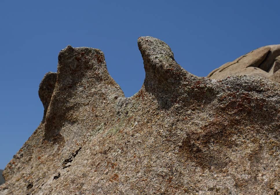
Quytosh is home to a gigantic granite boulder field and the rocks are like sandy bubbles speckled across the valley. Rest assured, I was darting around like a happy labrador.
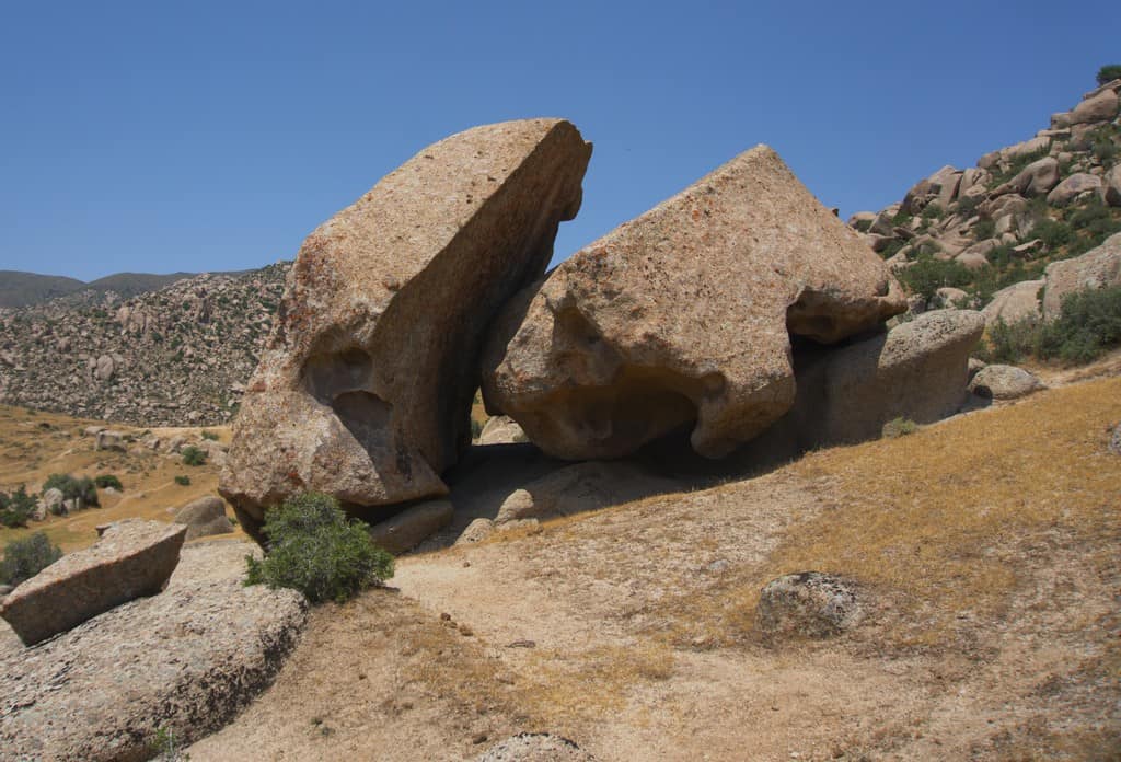
Next we headed down into the valley and joined a road up into the hills. This is where the hard work starts. It’s around a 500m climb, weaving and zigzagging up the slope. It’s not steep, just flipping strenuous if it’s hot (it was around 32 degrees when I did it!). Usually, guides will plan this hike much earlier in the day (we had to set off at 13:00 due to a later train. No one’s fault, the first train was booked up). We took plenty of tiny rests, mostly so I could douse myself in water while hundreds of goats gawped.
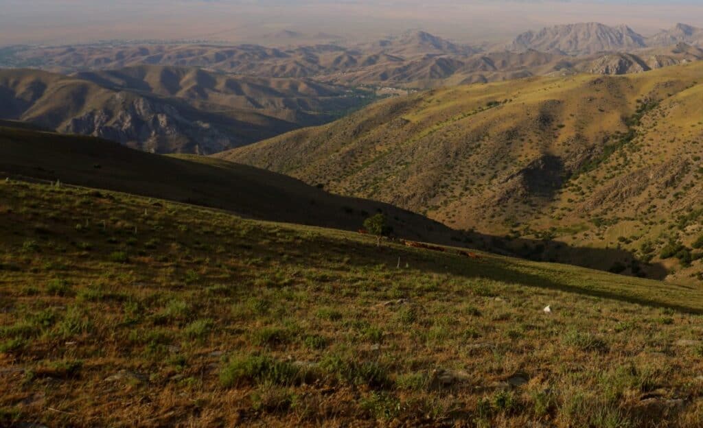
We continued up, up, up and headed towards To’ng’izlitov tog’i peak at 1,905m. You’re rewarded with sweeping views of the Nuratau range and you can spot Aydar Lake in the distance. At the peak, take the right path and crack on for around 8km.
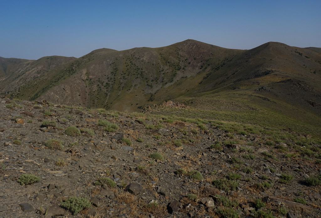
Heading north-west, we could see green mountains to the left and arid planes of the Qizilqum Desert to the right.
We walked over the rolling peaks of this stretch, stepping on shriveled rhubarb plants that gave a satisfying crunch. Sherali told me that in spring, the vegetation bursts into colour.
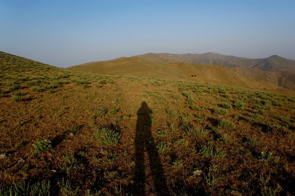
After continuing in this direction, you’ll reach Narvan Pass. The landscapes here were my favorite views of the day because I was greeted with striking limestone rock faces, green rolling hills and folded mountains.
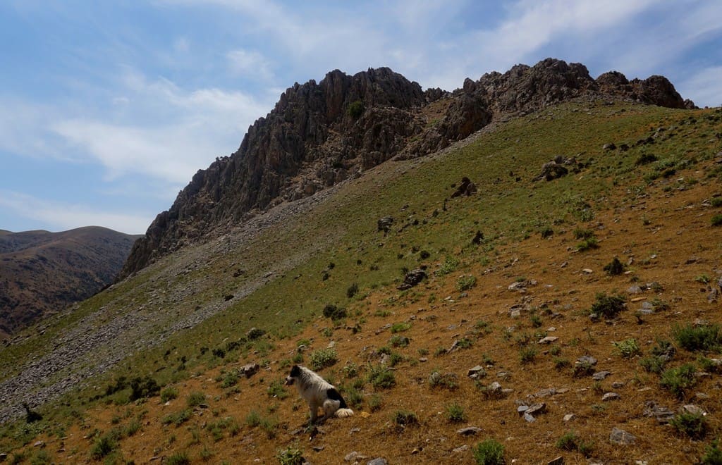
Next, we turned right and weaved down the mountain into Sayyod. As we descended, we could see tiny white blobs, like meringue nests. Edging closer, this was Sayyod yurt camp, where my bed for tonight was!
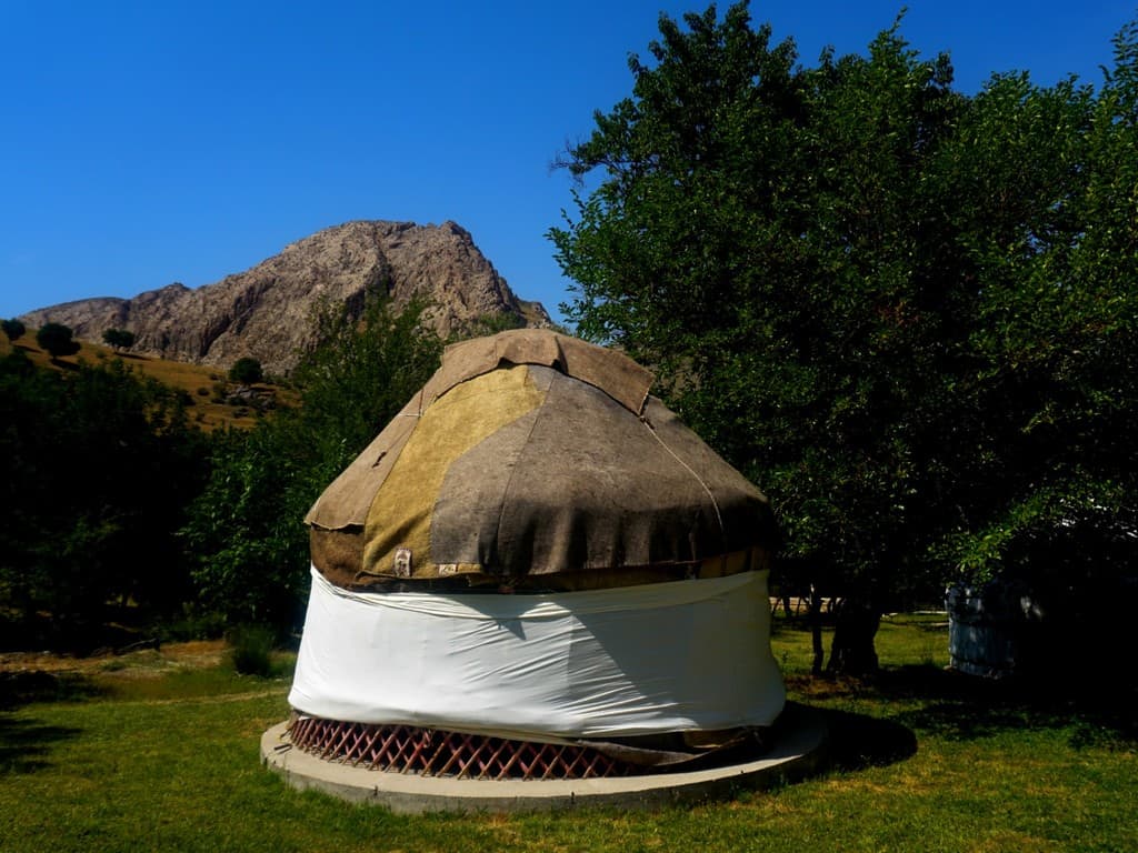
Top tip: Arrange with your guide to do this hike as early as possible. We started the route about 13:00 due to a later train from Tashkent. I can’t lie, it was pretty tough hiking up in 32 degrees heat. This route isn’t too steep or demanding, it’s the lack of shade which will catch you out.
2. Sayyod limestone
- Hike difficulty: Easy
- Distance: 5km
- Ascent/descent: 250m / 250m
- Estimated time: 2 hours
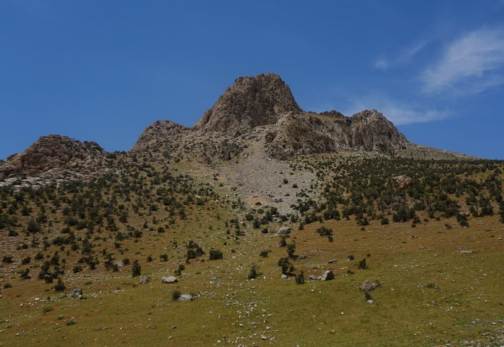
I loved this gentle hike and remember it fondly as a lovely way to explore the Sayyod valley. If you’re like me and have an unhealthy obsession with rocks, this is a limestone paradise. I’d really recommend getting up before sunrise or just before sunset and doing this, you won’t regret it.
Setting off from Sayyod yurt camp, you meet the road and take a left. Continue for about 20 minutes and you’ll pass by other friendly villagers and a school nursery. Next, there is a small path zig-zagging up the valley on your right. Hike up the hill. Ensure you keep looking back at the Sayyod valley, because the views are so pretty!
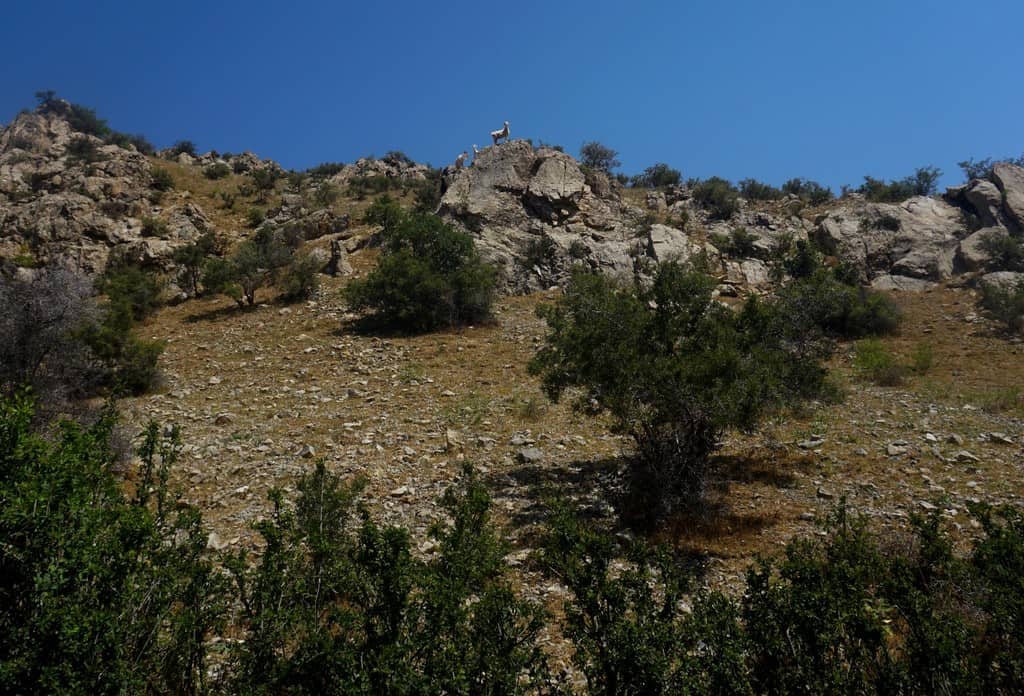
You’ll now see the grass starts to recede, making way for the dominating limestone faces. You’ve got about a 200m climb here and when you reach the top, to the north you’ll be able to see the northern villages and Aydar Lake and to the west, more of the beautiful Nuratau peaks. Turn right at the path, with Sayyod in the valley below on your right, and continue to climb for a little longer. I used this as a chance to leap and scramble across the ridges.

We walked on the ridge for about 10 minutes and then followed a path on the left. This twists around a huge lump of limestone and you’ll find a shepherd’s wind shelter. The views here are beautiful. You should be able to see Sayyod village. Walk down carefully (there’s a few bit of scree here!) and continue down with some easy scrambling. You’ll then meet the road close to the yurt camp.
3. Sentob to ancient petroglyphs
- Hike difficulty: Easy
- Distance: 10km
- Ascent/descent: 253m / 253m
- Estimated time: 3 hours
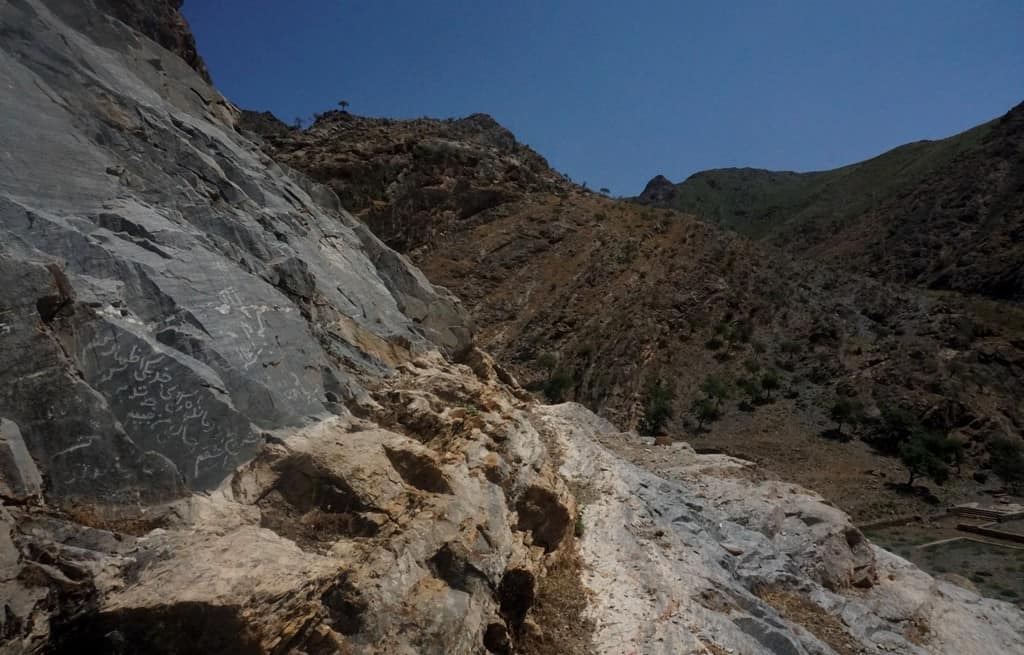
Next, I was driven from Sayyod to the ancient village of Sentob. On this hike, you’ll be immersed in the mountain village spirit and experience the kindness of Uzbek people.
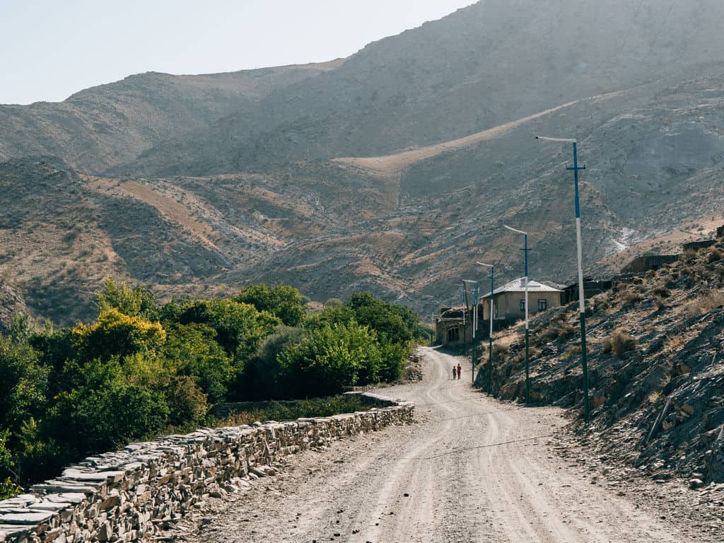
Take a left from Rahima’s guest house and follow the road up the hill. Within minutes of us starting our walk, a group of schoolchildren riding donkeys passed me and excitedly chanted ‘hello hello hello’. I later found out one of the girls was Rahima’s daughter!
The road then leads into a rocky valley and becomes a dirt track. You follow this around to your right, where the path dwindles into a trail and you meet a small river. You’ll be crossing this river several times during this hike, so I’d recommend trainers that can dry quickly! (Sherali didn’t fall in once, I slipped many times, but that’s probably because my brain was thinking about 100 other things).
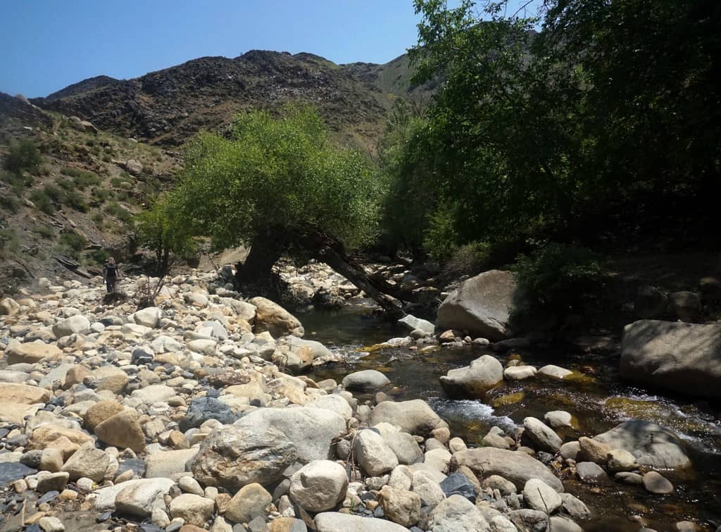
You’ll be in the shade of the trees for a lot of this walk, which was helpful in the searing heat. We passed by shepherds and women plucking mulberries. Continue with the river by your side, you will have to zig-zag over the water according to the winding path. You’ll meet a fork in the river, where one path leads straight on and the other leads left.
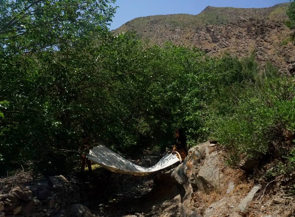
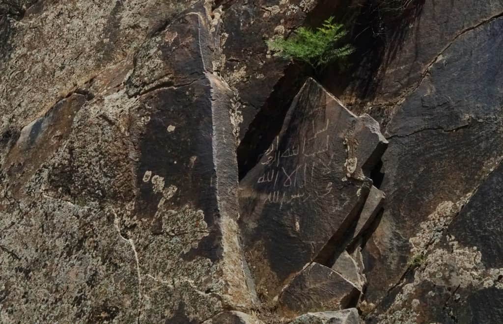
Take the left and walk for another 2km, the river will guide you. You’ll then see that the river fattens out and there’s a large slab of rock to your left. Look closely, and you’ll see the petroglyphs inscribed in Arabic writing! Sherali told me that they are around 500-years-old. Head back the same way.
4. Sentob to Fozilmon Lake
- Hike difficulty: Medium
- Distance: 23km
- Ascent/descent: 800m / 800m
- Estimated time: 6 hours
- GPS coordinates for this trail
Sherali suggested an early rise of 4am (the mountain pass would be a searing hot plate by mid-morning). I immediately thought YES. The more I creep to 30-years-old, the more I crave early nights.
As I packed my bag and went to brush my teeth, the guest house owner Gulmurod and his childhood friend insisted I joined them at the table with vodka. My Early Night went out the window quicker than Gulmurod poured shots.
So. much. Vodka. Oh god, and cognac.
It was so lovely though. Gulmurod gave me the first toast. I learned earlier that all the men had daughters, so I made the toast to them. His childhood friend made the next toast. He was so happy how we had all traveled from different parts of the Earth to come together at this moment.
Slightly hazy start, but we were up by dawn. Incredibly, Sherali still had smiles on his face even though he apparently went to bed at 2am.
We took the same route as the petroglyphs walk (scroll to the hike above), but where you meet the fork in the river, continue straight on instead of turning left.
You will pass hundreds of beautiful trees until the path widens out and you are in the valley between two peaks. Now the hard work starts ;).
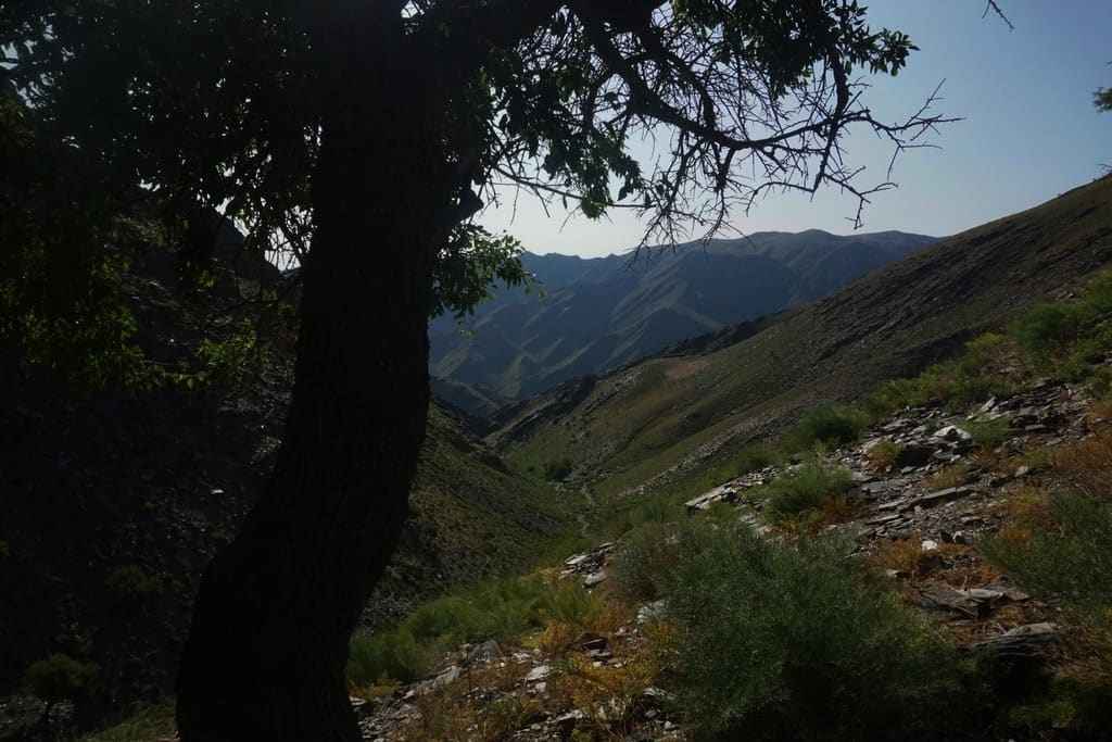
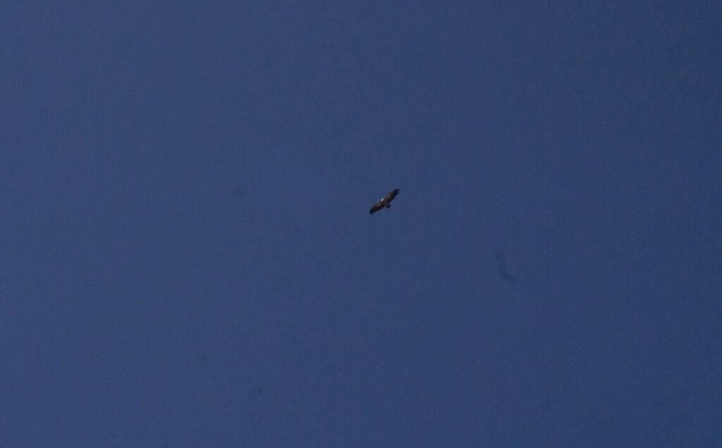
You’ll slowly head up the path and green shrubbery replaces the tall trees. This also means there is zero shade so you don’t really want to be chuffing up this in the heat of the day. Keep your eyes peeled for red kites! I saw around six of the beautiful birds of prey swirling and soaring right above my head.
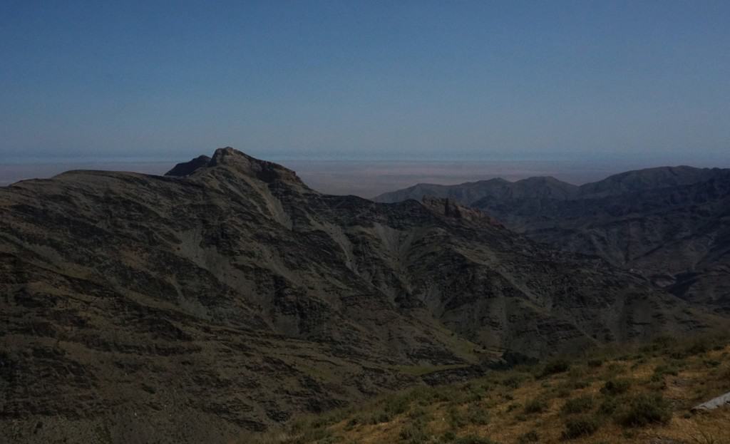
The climb here is about 400m in a 2k distance, so it may be a little hard depending on your fitness. Just take lots of little breaks and carry a decent amount of water. At the peak at 1,500m, you’ll be rewarded with panoramic views of the sweeping pea-green mountains. The way they descend into the valley remind me of witches’ fingers (my imagination is too vivid, I know).
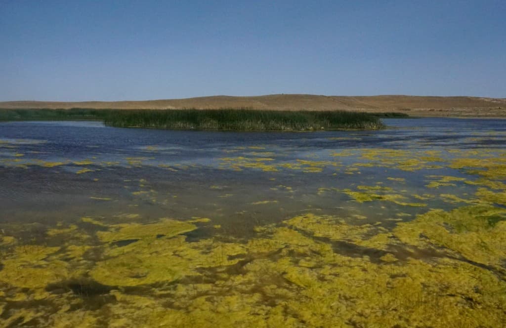
You’ll be on a plateau now, which remains pretty flat for the rest of the route to Fozilmon Lake. There are hundreds of goats grazing and wild horses racing across the land. Continue for around 4km and you’ll reach wetlands of Fozilmon Lake. You can hear the waters singing with bird activity. When we got there, the wild horses were taking a swim! Head back to Sentob the same way.
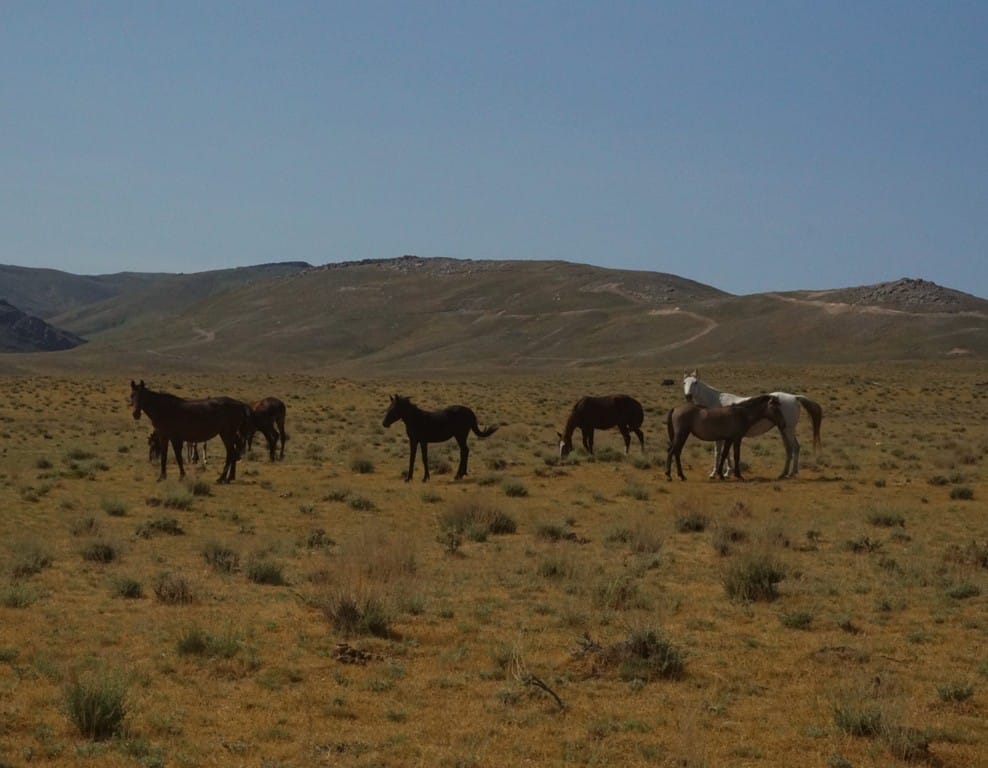
If you’re looking for more hiking inspiration in the Nuratau mountains, you could hike the parts that I rode on a horse from Majerum to Hayat, Hayat to Asraf and Asraf to Safarota. The treks average around 16km each day.
Please find my Nuratau horse riding guide here:
2 great hiking trails in the Chimgan mountains in Uzbekistan
The Chimgan range is about 80km from Tashkent and is home to the mighty Greater Chimgan mountain, which is Uzbekistan’s largest peak at 3,309m.
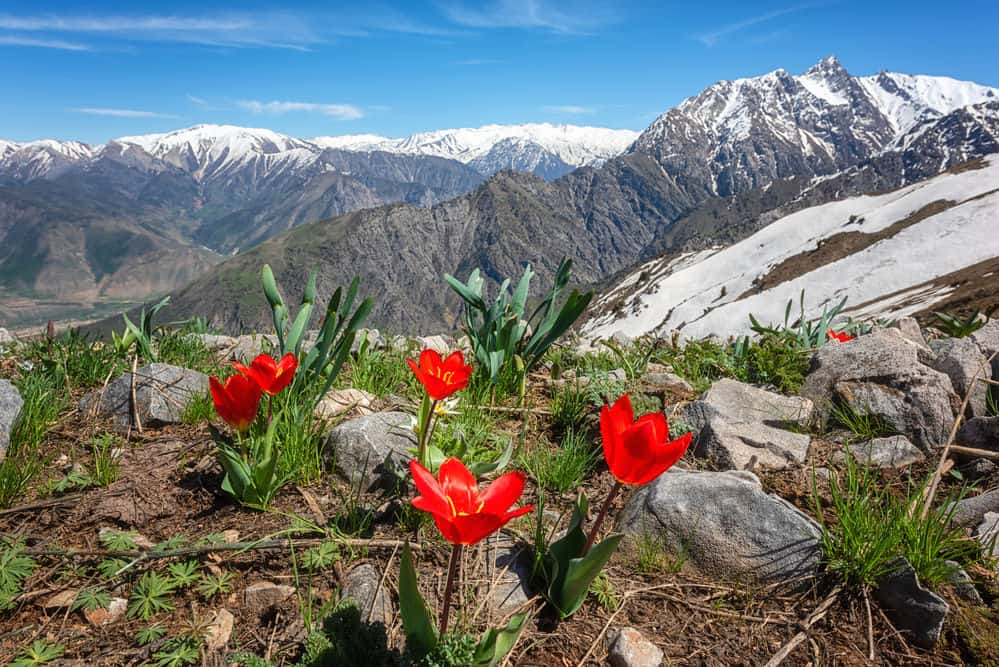
What was strikingly different about the Chimgan range was how green and lush the terrain was compared to the Nuratau peaks. We were met with lively meadows and vibrant mountain flowers.
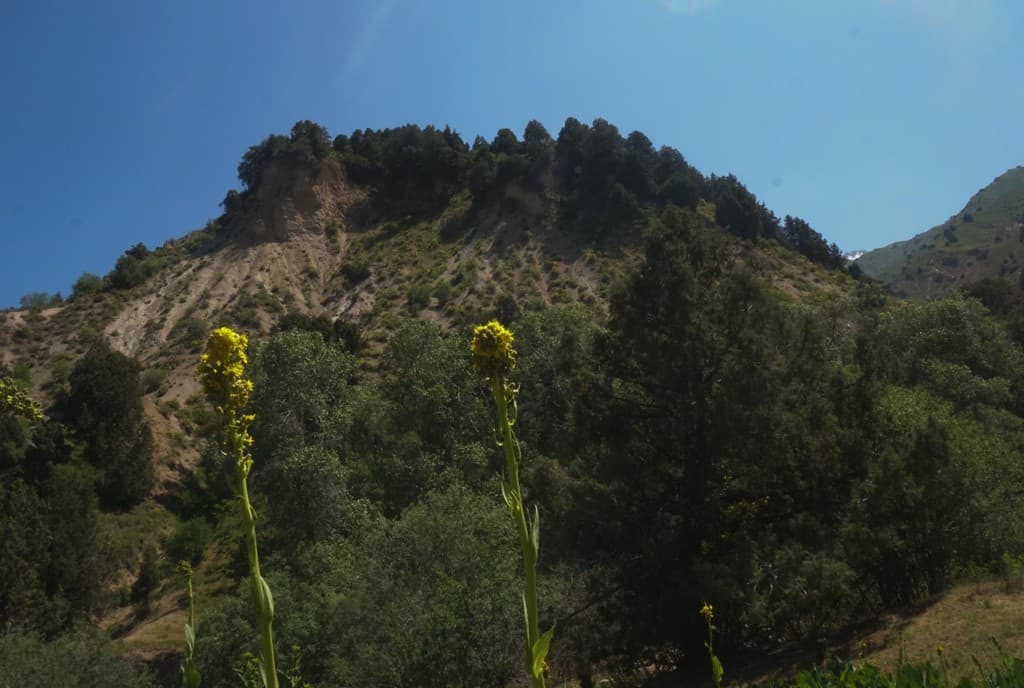
Sherali told me this was because we had already hit hot temperatures at the end of May. Because the Nuratau range is closer to the desert, it shrugs off its spring season much quicker than Chimgan.
This two-day hike involved camping in the valley of the Chimgan mountains. Responsible Travel organized a mountain guide, Sherali, and another guide, Tolkin, who brought donkeys. Our driver Ixtiyor also asked to come and learn because he dreams of becoming a mountain guide.
Sherali told me the below horseshoe hike can be done in either direction, so you can also start in Beldersay, if easier. We did far more distance on the first day, then woke up and completed the rest. If you’d rather equal the distance out on both days, go nuts!
1. Chekhicm to the base of Chetkumbel pass
- Hike difficulty: Medium
- Distance: 18km
- Ascent/descent: 850m / 330m
- Estimated time: 5 hours
At the start of our route at Chekhicm, we met Tolkin who packed our tents, food and clothing with donkeys.
I have to be really honest here. I know donkeys are an integral part of mountain villagers’ life (almost every family has one), but I struggled with the idea of not being able to carry my own food and tent. I guess it was hugely different to the backpacking I do at home where if I can’t carry it, I can’t bring it.
Tolkin owned a family of donkeys who walked freely together. I relaxed when I saw they were in good health and were given breaks and snacks during the day. Donkeys are used very much as a reliable transport method not just here, but across Central Asia. Tolkin set off and would meet us further down the route for lunch.
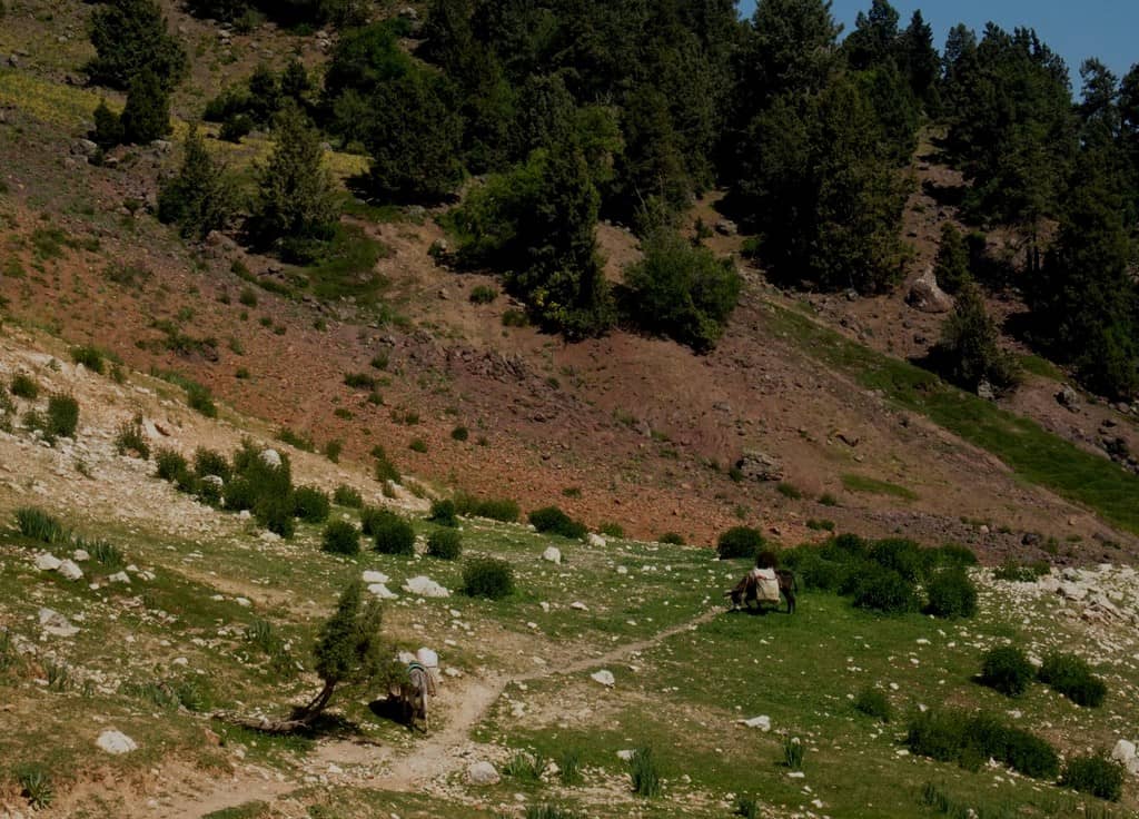
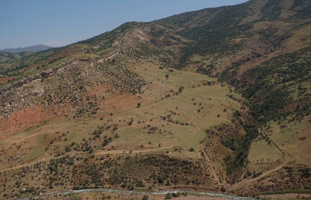
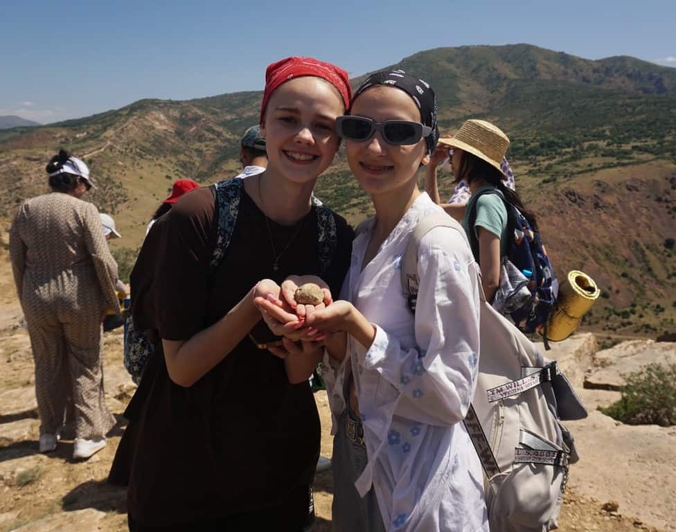
Immediately, we were hit with sweeping views of a limestone gorge and plateaus of rock strata. As we continued ascending about 400m, I noticed I was stepping on chunky shells. These were THOUSANDS of fossils. I couldn’t quite believe it. If this were in the UK it would be an expensive museum. Two girls from a local geology school trip stopped me and gave me a fossil as a gift. Rocks and kindness… my heart nearly burst.
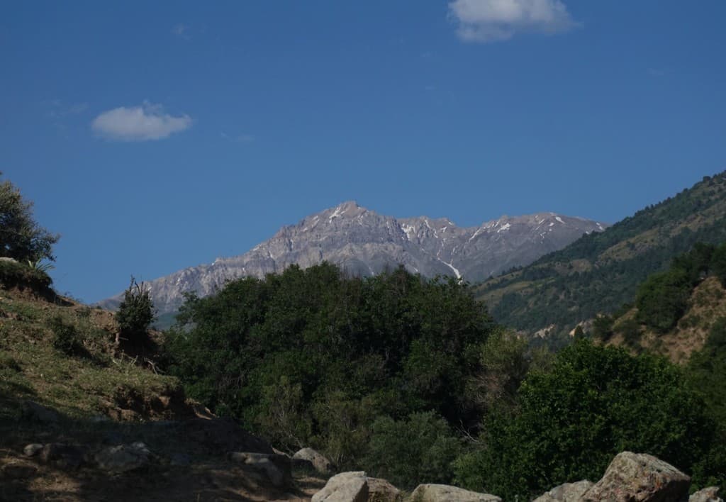
We continued on top of the limestone gorge and then took a left and descended slowly down the slope. You can see the hunky Greater Chimgan peak in the far distance. What I loved about this hike was ever so often you can see the peak getting larger and larger as you get closer to it.
We stopped to meet Tolkin, who had cooked a delicious pasta feast under the shade of the trees.
Next we continued for 2.4km, descending into the valley. You’re really in the mountains now and you’ll soon be met by the roar of a glacial river. Once you descend and are at the base of the valley, you should see a rickety bridge. Cross this and continue with the river on your left for around 5.5km. This dirt track is a slow incline and you’ll pass by many shepherds and beekeepers.
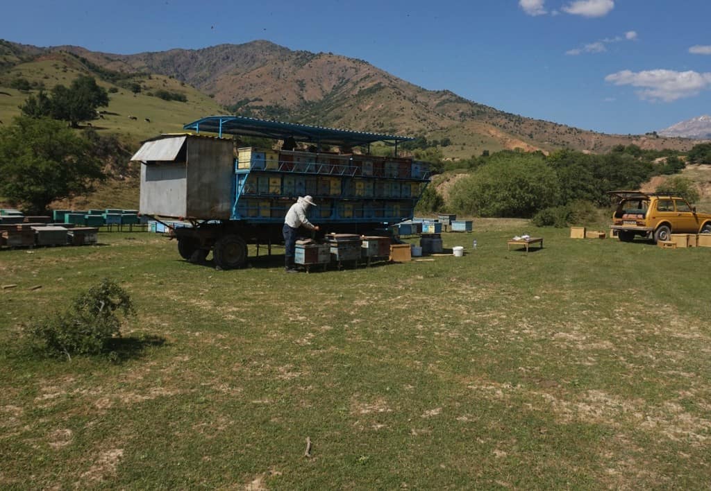
At the tiny hamlet of Nurekata, cross over the bridge so the river is on your left. The water now leads up to the Greater Chimgan mountain, which you’ll have spectacular views of. We continued for around another 5km and then set up camp close to the river.
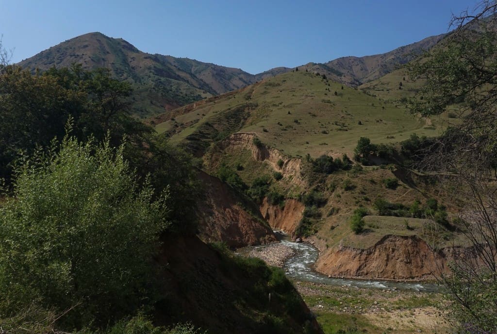
There’s no hard and fast rule about setting up camp, just ensure you’re not in a shepherds’ territory, put out any flames from canisters/fires and follow the no trace rule.
2. Chetkumbel pass to Beldersay
- Hike difficulty: Easy
- Distance: 8km
- Ascent/descent: 507m / 543m
- Estimated time: 3 hours
- GPS coordinates for this trail
Tolkin was already sizzling scrambled egg and sausage on the stove when I woke up. I guzzled a load of coffee, we ate breakfast and then we packed up, ready for another day of hiking.
At the campspot, we took a left on to a trail and started the hike up (around 350m of ascent) to Chetkumbel Pass at 1,800m. Make sure you keep looking back at the valley you’ve walked up through as the views of the mountains are spectacular.
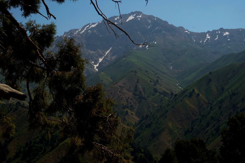
Once you reach the top of the pass, there is a stunning panoramic view of the other side of the valley and the Greater Chimgan mountain.
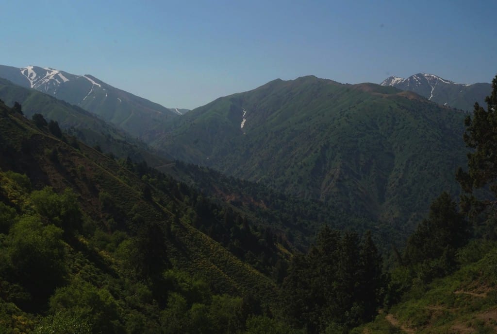
Head left and descend down, with Greater Chimgan on your right. After around five minutes, take the first right onto the path, where it winds around to meet a river. Stay on the left of the river until the path crosses the water to the right. You’ll be walking through fresh meadows with vibrant flowers. Wild horses galloped past us when we hiked on this trail!
You’re now near Beldersay where there is a ski resort. There are many little paths to get lost here on, so I won’t confuse you with directions. As a general direction, head west towards Beldersay and pick a route on a GPS map that will take you there… and enjoy!
How to get to the Nuratau and Chimgan mountains
How to get from Tashkent to Quytosh (Nuratau Mountains)
My journey started in Tashkent. Responsible Travel pre-booked a train from Tashkent to Jizzakh, where a driver was waiting for me at the station. The train took 2 hours 30 minutes but Sherali told me there is also another service which takes 1 hour 30 minutes.
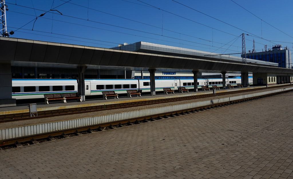
Top tip! Arrive early and bring your passport with you to the station. You’ll need to go through at least two security checks and the guards checked my passport at two different points too. Cynthia has written a cover-all-bases guide here about how to book and handy advice for using Uzbek railways here.

It was around a two-hour drive from Jizzakh to Quytosh, our first destination in the Nuratau mountains. Our driver took us from Sayyod to Sentob and Sentob to Majerum. He also drove us from our final destination of Safarota back to Tashkent which took around five hours.
I’d either recommend booking a train from Tashkent to Jizzakh and then organizing a private driver to drop you off at your starting point, or if you have the cash, booking the five-hour journey by driver (I have no idea how much this would cost!).
Once you’re in the mountains, the only way to get from village to village is either by car, horse or walking.
How to get from Tashkent to Chekhicm (Chimgan Mountains)
Responsible Travel organized for a driver to drop us off at Chekhicm to start our hike. Due to the Chimgan range being only 80km from Tashkent, it’s about an 1 hour 30 minute drive. This also means it’s easier (and cheaper) to sort a driver for your trip.
If you want to be picked up from a specific location, please contact an agency and be very clear about your plans, send an image of a GPS waypoint and ensure you’ve got the agency’s number and the driver’s. If you’re worried about phone signal, scroll down to my entry about SIM cards below in the next section.
You can reach the city of Gazalkent which is close to the Chimgan mountains by public bus. There are both electric trains and buses leaving Tashkent to Gazalkent.
From Gazalkent, there are two daily buses Gazalkent-Chimgan (10:30 and 14:30) Chimgan-Gazalkent (06:30 and 13:30) which take around 50 minutes. The road is accessible any time of the year, but in spring there can be limitations because of landslides and mudflows.
Handy tips for hiking in Uzbekistan
And finally, some pearls of wisdom to pass on.
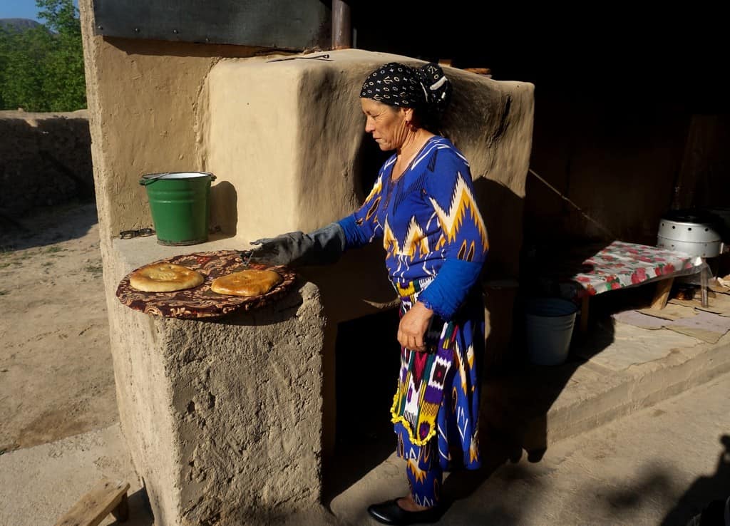
> Bread is sacred in Uzbekistan. Try not to leave chunks on your plate or drop on the floor. Especially don’t put it under your lap and save for later. Or throw it down a toilet ?! (Sherali told me about one tourist doing this and it deeply upset the guest house owner).
> In the mountain village homes and guest houses, remove your shoes before going inside. Even if you don’t need to, it’s a sign of respect in Islam.
> Uzbekistan is very religious. Don’t be that person with your thighs/shoulders/chest/breasts out. In Tashkent it’s a little more chilled, but as soon as you head out into the mountains, cover up. You can wear leggings that come down to your calf.
> Try to learn some basic Uzbek and Tajik phrases. I learned from many villagers that while they were happy to speak Russian, they absolutely loved it when I spoke their language. Also, download the Google Translate app. This was SO helpful. You can download languages offline which enables you to chat to people when there’s no signal.
> Download a reliable GPS map app. Even if you’ve booked a guide, I think it’s sensible to plot out on the app your hike for the day, send it to someone if you can. You can also measure the elevation, distance and time there too. And also God forbid, you may accidentally wander off and get lost.
> Don’t blow your nose at the table. Apparently it’s incredibly disrespectful and it will not go down well. By all means, itch your nose or wipe away snot with a tissue, but don’t go gung-ho and start emptying the bats in the cave. Cynthia told me that it’s actually rude to blow your nose in public too so watch out for that!
> SIM cards. If you’re desperate to get one at the airport, UCELL is your best bet. If you’ve got time to find a SIM shop, get a Uzmobile SIM. Everyone was using Uzmobile in the mountains and they got a signal really regularly. I found that (and was warned that) Beeline only works in the cities.
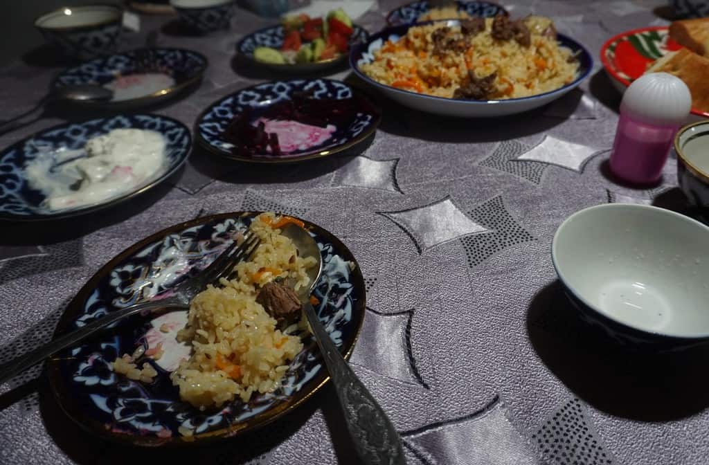
> Veggies/vegans! At the guesthouses in the mountains, it’s a huge sign of honour to present the guest with meat at dinner. You could try not eating the meat but it would be pretty disrespectful. I don’t eat meat in the UK (hadn’t eaten it for years!) but appreciated where I was and how kind it was of the host to cook me it and dove in. Same goes for the other dishes with dairy etc really. Staying with mountain villagers, it’s near impossible to be vegan.
I hoped you enjoyed reading about my adventures of hiking in Uzbekistan and that you’re feeling inspired to go as well. Feel free to contact me if you have any questions or if you need help planning your trip to the mountains in Uzbekistan!
| 👉Tashkent City Guide | 👉Samarkand City Guide |
| 👉Bukhara City Guide | 👉Khiva City Guide |
| 👉Shahrisabz City Guide | 👉 Karakalpakstan Guide |
| 👉Fergana Valley Guide |
Related posts

7 Best Places to visit in the Republic of Karakalpakstan Uzbekistan, including a travel guide to Nukus and the Khorezm Fortresses

How to get from Bishkek to Tashkent by bus – Travel from Kyrgyzstan to Uzbekistan
15 Best things to do in Khiva Uzbekistan – Khiva Travel Guide for 2026
Uzbekistan Travel Itinerary (2026): 1, 2, 3 & 4 Week Travel Routes + Tips

Is Uzbekistan safe? 14 Useful Things To Know Before You Go (2026 safety guide)
Hi there,
We are organizing our trip to Uzb for this summer. When I press on the link of RT, it refers me to another webpage for hiking and trekking, i.e. Nuratau Travel…Are those the same people ?
Thx,
Guido
Hi Guido, yes, this is the same company.
Update, April 2025 – Public Transit to Chimgan:
Take the electric train from Tashkent South Station, Tashkent North Station, or Salor station (Tashkent) to Chinarket station by Lake Chorvoq (takes ~1 hour 15 min. and both stations can be found on Google Maps and Yandex). Use https://tashtrans.uz for the most updated timetables. I recommend opening this link on your phone for Google Translate to properly translate the website since it is in Russian. The timetable is in Russia so you will need to take screenshots and google translate the image or learn the Cyrillic alphabet to find the station names. Once at Chinarket, you can take local taxis, bus, or hitch a ride to Chimgan village (40 min. away). Alternatively, take the new cable car by Chinorkent station https://www.chinorkent.uz/ up the mountain and access nature around there.
Thanks so much for sharing this update Andres, highly appreciated!
Brilliant info- this is my next year destination after putting it off for 4 years now. I am going to enjoy re reading and planning as I am looking at a 6 week trip altogether and will thread in the city stuff as well. Thanks so much
So happy to hear this Gillian! Thank you!