
The Alay or Alai Mountains in the southwest of Kyrgyzstan are still relatively unknown to travelers and hikers, while it has some of the most spectacular hiking trails in the country! I honestly think that the Best of Alay Trek, also known as the Heights of Alay, is one of the most beautiful and best treks in Kyrgyzstan!
I’d love to inspire more travelers to do this multiple-day trek in Kyrgyzstan, so I’ve written a complete guide including a day-to-day itinerary description and all the essential info you need to know about the Best of Alay Mountains Trek.
Kyrgyzstan is slowly emerging as an adventure and trekking destination, but most travelers tend to stick to the northern part of the country.
While it’s true that the north of Kyrgyzstan has some fantastic hiking trails, such as the 4-day trek to Ala Kul lake, the hikes around Song Kul Lake, and the Ak-Suu Traverse, there are many more spectacular trekking possibilities in the rest of the country.
One of them is the 7-day Best of Alay Mountains Trek. I’ve done this trek for the first time at the beginning of July 2021. While I’ve already done a lot of hiking in Kyrgyzstan, this is one of my favorite multiple-day treks in the country! Every day on this hike felt like a new adventure.
The Alai or Alay Mountains also referred to as the Alay Valley, are a stunning sub-range of the Pamir-Alay Mountain system in the southwest of Kyrgyzstan.
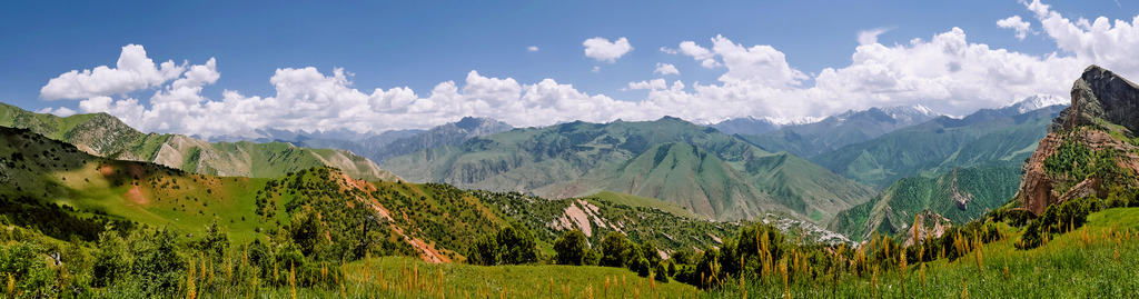
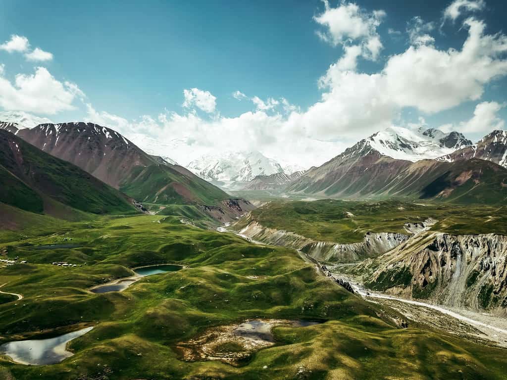
The landscapes of this mountain range are incredibly varied – from rugged mountain passes with panoramic views over snowcapped peaks, glaciers, and alpine lakes to lush river valleys and colorful gorges!

If you’re looking for an unforgettable trekking adventure in a remote and unique destination, the Best of the Alay Mountains Trek might be the one! It’s one of the best treks in Kyrgyzstan!
This 7-day trek will take you on an exquisite journey through the wild and remote Alay Mountains.
Some of the highlights are the otherworldly Sary Mogul Pass (4306m), the Three Dragons Gorge (3200m), Jiptick Pass (4185m), and – last but not least – Lenin Peak Basecamp (3500m) and Traveller’s Pass (4100m) that offers views over the snow- and glacier-covered Lenin Peak (7,134 m).

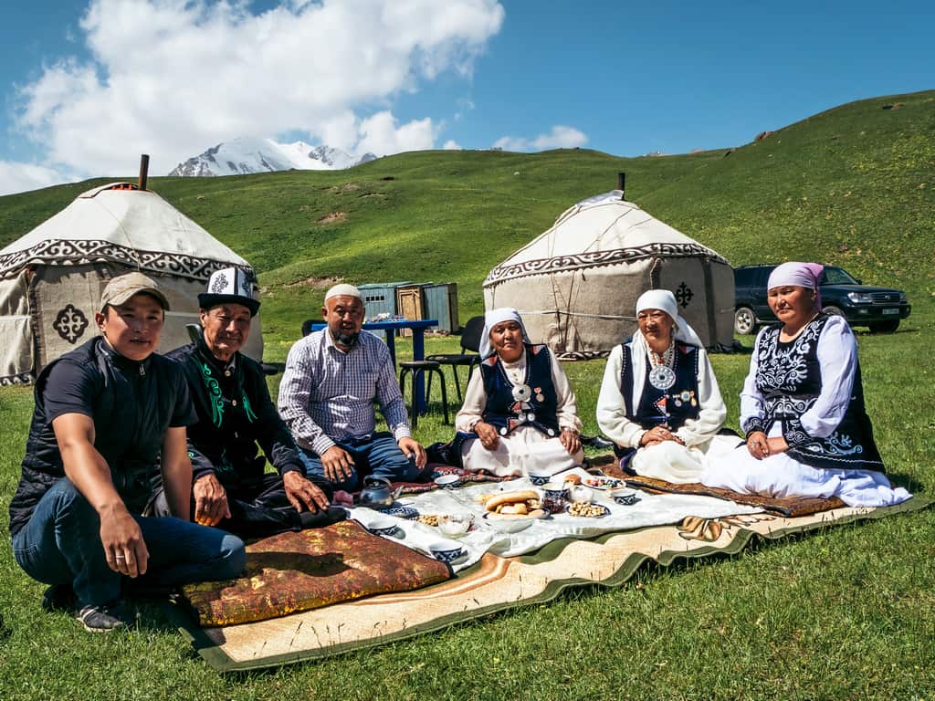
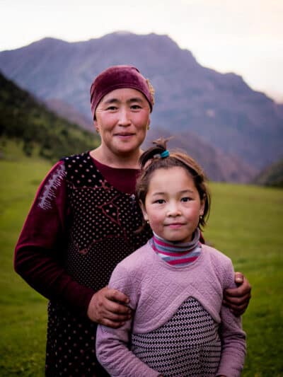
You also get the opportunity to meet and interact with the semi-nomadic shepherd families who live in yurt camps and tents in the alpine meadows of the Alay Valley during the summer months.
While I highly recommend The Best of Alay Mountains Trek, you need to know that this hike is quite challenging, and you definitely have to be prepared before undertaking this adventure!
That’s why I’ve written this comprehensive guide with all the information you need to do this spectacular multiple-day trek in the Alay Mountains: from when to go and what to pack to costs of trekking, transport, and a detailed day-to-day itinerary. Read this guide thoroughly, so you’re well-prepared!
Disclaimer: This posts might contain affiliate links, meaning that if you make a purchase through these links, I may earn an affiliate commission. Thank you for helping to support this website!
Plan your trip to kyrgyzstan!
✈️ Find the cheapest flights → Check fares to Bishkek or Osh
🏨 Find hotels & yurt stays → Browse the best accommodation deals
📱 Stay connected → Get a Kyrgyzstan eSIM
🛡️ Travel insurance → Don’t travel Central Asia without coverage
🎒 What should you pack? → Read my Kyrgyzstan packing list
🥾 Want to go hiking? → Discover the most beautiful hiking trails in Kyrgyzstan
🐎 Want to go horse riding? → Check out my favorite horse trekking experiences
🗺️ Need help planning your route? → Learn about my itinerary planning services
⛰️ Prefer traveling with a group? → Join one of my Kyrgyzstan adventure tours
1. What to expect on the Best of Alay Mountains Trek?
There are many hiking trails in the Alay Mountains, varying from day hikes to turquoise alpine lakes, evergreen forests, green valleys inhabited by shepherd families, and multi-day treks to snowy mountain passes, glaciated peaks, moon-like landscapes, and rugged gorges.
The Best of Alay Mountains Trek is named “the Best of,” for a reason as this trek combines some of the best sceneries, trekking, and cultural experiences a hiker can find in the Alay mountains.
Not only do you hike in some of the most stunning landscapes you’ll ever see, but you also get to stay in the yurt camps of shepherd families, interact with them and learn more about the semi-nomadic lifestyle and traditions in Kyrgyzstan.

Every day on this trek feels like a new adventure with the constantly changing scenery.
You start hiking through the lushest valleys and gorges to end up a few hours later on a rugged mountain pass covered in snow surrounded by glaciated peaks towering high above and breathtaking views of crystal-clear lakes, the Pamir Mountains, and Lenin Peak, one of Central Asia’s highest mountains at 7134 meters.

Keep in mind, though, that this is not an easy trek. You have to cross three mountain passes above 4000 meters, the trail is at various points steep and covered in loose scree, and you also have to deal with the unpredictable weather in the mountains…

If you’re up for these challenges, the rewards will be worth it! You’ll be hiking in one of the most stunning mountain regions in the world, and it’s so remote that you’ll barely see other hikers – I only met other travelers on the last day of this trail!
Want to experience this hike without worrying about the planning?
Join our 12-day Best of Alay Trekking Adventure and discover the highlights of the Alay Mountains with a small group of like-minded travelers while we handle all logistics for you!

Here’s a general overview of what to expect on the Best of the Alay Mountains Trek:
Route and highlights of the 7-day Best of Alay Mountains trek
Sary Mogul Village – Beshkol Lakes – Sary Mogul Pass (4306m) – Kyzyl Shoro village – Koshmoinok Pass (3210m) – Koshmoinok Valley – Sarybell Pass (3132m) – Three Dragons Gorge – Kojokelen Village – Jiptick Pass (4185m) – Darbazatash Valley – Sary Mogul Village – Tulpar Kol Lake – Lenin Peak Basecamp (3500m) – Traveller’s Pass (4100m) – Tulpar Kol Lake – Sary Mogul Village
- Alternative route and options:
You can shorten the trek by cutting the last day of hiking to Lenin Peak Basecamp and Traveller’s Pass and stop at Sary Mogul Village.
You can even make it into a 3-day hike if you stop at Kojokelen Village but then you’ll also miss out on the Jiptick Pass and its incredible views over the Pamir Mountains.
Some travelers have done the reversed route, leaving the Sary Mogul Pass – which is the hardest part of the trail – for the last day. I prefer doing the most challenging part at the beginning of my treks, and I also believe that my suggested route is a bit easier when ascending the mountain passes.

Best of Alay Mountains Trek General Info
- Total trekking distance: 90km
- Total trekking days: 7d/6n
- Altitude levels: minimum at 2186m, maximum at 4306m
- Maximum elevation gain/loss in a day: +1150m/ -1579m
- Difficulty: medium-hard


2. Best of Alay Trek: Day-by-Day Trekking Itinerary
Here’s a detailed day-by-day trekking itinerary for the 7-day Best of Alay Mountains Trek.
Day 1: Sary Mogul Village – Beshkol Lakes – Sary Mogul Pass – Campsite
- Hiking distance: 12km
- Trekking time: 6-7 hours
- Ascent/descent: 1054m/ 477m
- Difficulty: medium – hard
The first part of today’s hike is mainly uphill. While the trekking distance isn’t that long, the elevation (up to 4306 meters) will slow you down. It takes around 4 hours to reach Sary Mogul Pass. I recommend starting early so you can reach the pass in the early afternoon.
You first have to get to the trailhead, which is 16km northeast of Sary Mogul Village. Ask your guesthouse or the local CBT to arrange a taxi for the 20-minute drive to the starting point of the trek.
You’ll see a shepherd’s trail that starts in a beautiful meadow. Follow this trail up along the river. Don’t be afraid of the herd of yaks that are grazing there. As soon as you get too close, they dart off.

The trail goes up an increasingly narrow valley and after a couple of hours, you reach a small pass. Take a small break there as the views of the Pamir Mountains behind you are beautiful!

Cross the pass and descend into the rocky valley in front of you. It’s quite surprising to see how quickly the landscapes change within a couple of hours: from green meadows to barely any vegetation at all!
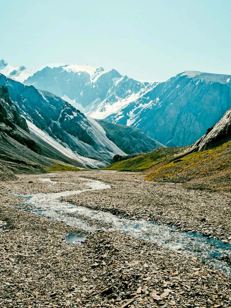
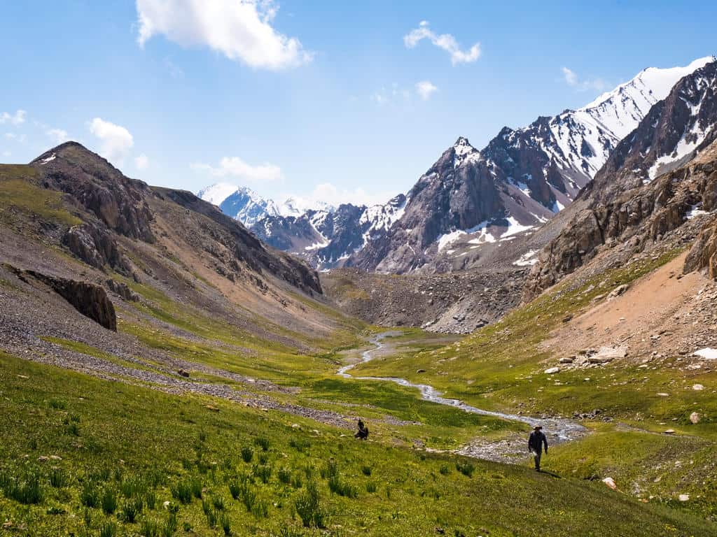
Follow the small stream through this valley until the path reappears. It will take you all the way into another valley with lush meadows surrounded by snowcapped mountains. This is a good place for a break and filling up your water bottle before the big ascent to Sary Mogul Pass.
While hiking up towards the end of the valley, the landscape changes and opens up: the meadows are making way for rugged peaks and glaciers and the first alpine lake appears. You have reached Besh Kul!
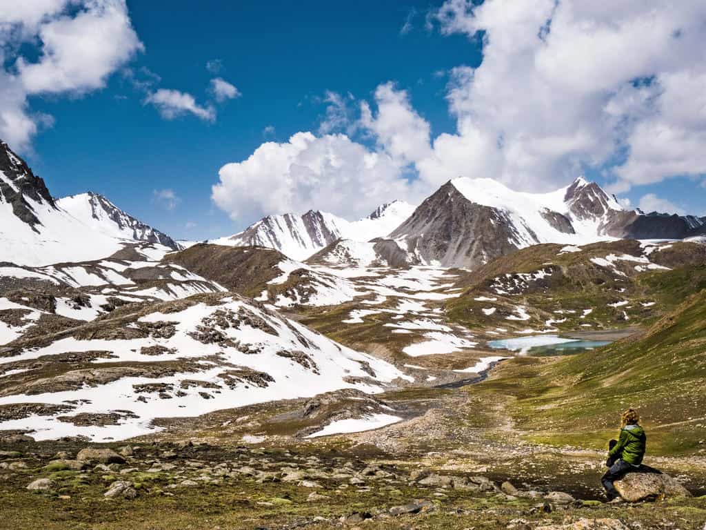
Besh Kul means Five Lakes. You won’t be able to see all five of the alpine lakes unless you have a drone but while making the final climb to the pass, you’ll see three more appear.

The final ascent to Sary Mogul Pass is steep and strenuous. You’re already above 4000 meters, you’re hiking on a trail that’s made out of loose scree and you feel the altitude kicking in! Breathing becomes harder, your legs feel heavier so go slowly while enjoying the views on your way up.
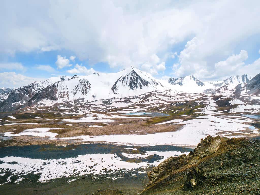
Once you reach the pass at 4306 meters altitude, you’ll know that it was all worth it! The scenery that unfolds is just magnificent and unlike anything else you’ve seen before!

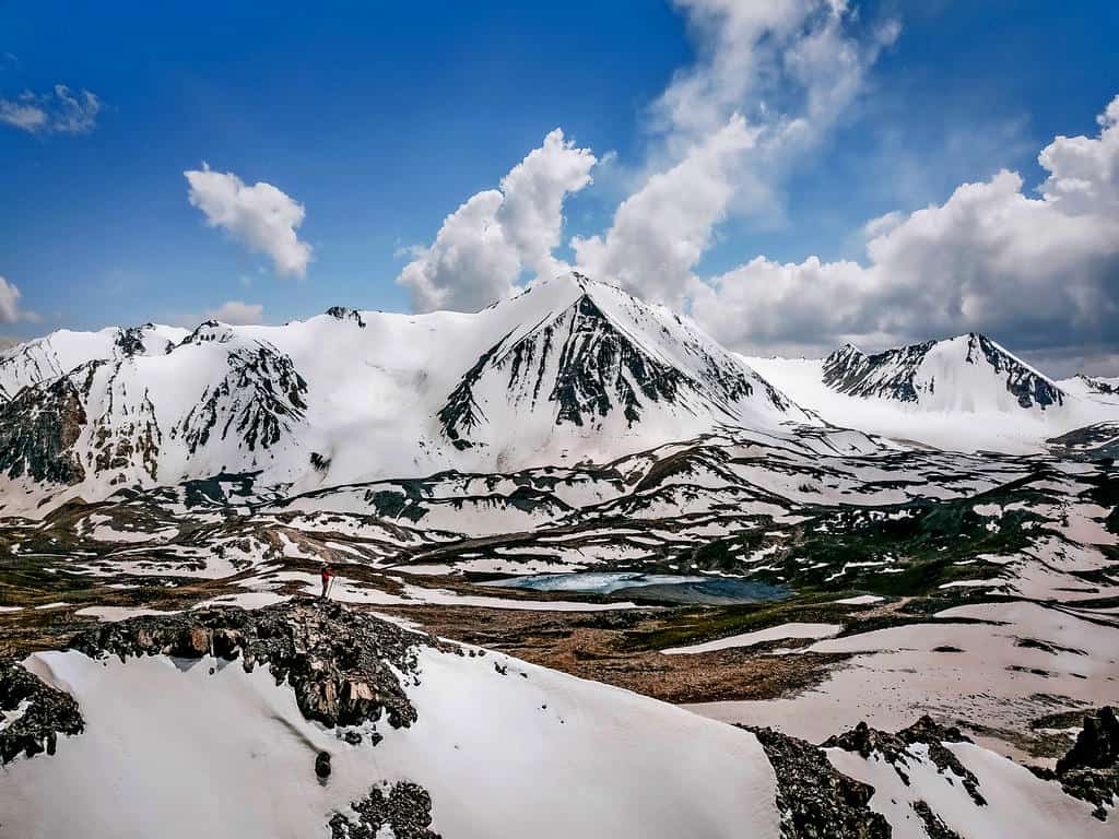
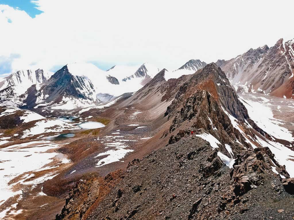
Take the time to catch your breath and enjoy the panoramic view before making the steep descent from the pass to the next valley. This path is covered in loose scree, so it’s better to take long sliding strides or “ski” down in a zigzag motion.
When I was there at the beginning of July, this path was still covered in a thick layer of snow, which made the descent quite dangerous. Luckily my guides were familiar with this trail and helped me down safely. This is why I highly recommend doing this trek with a guide!
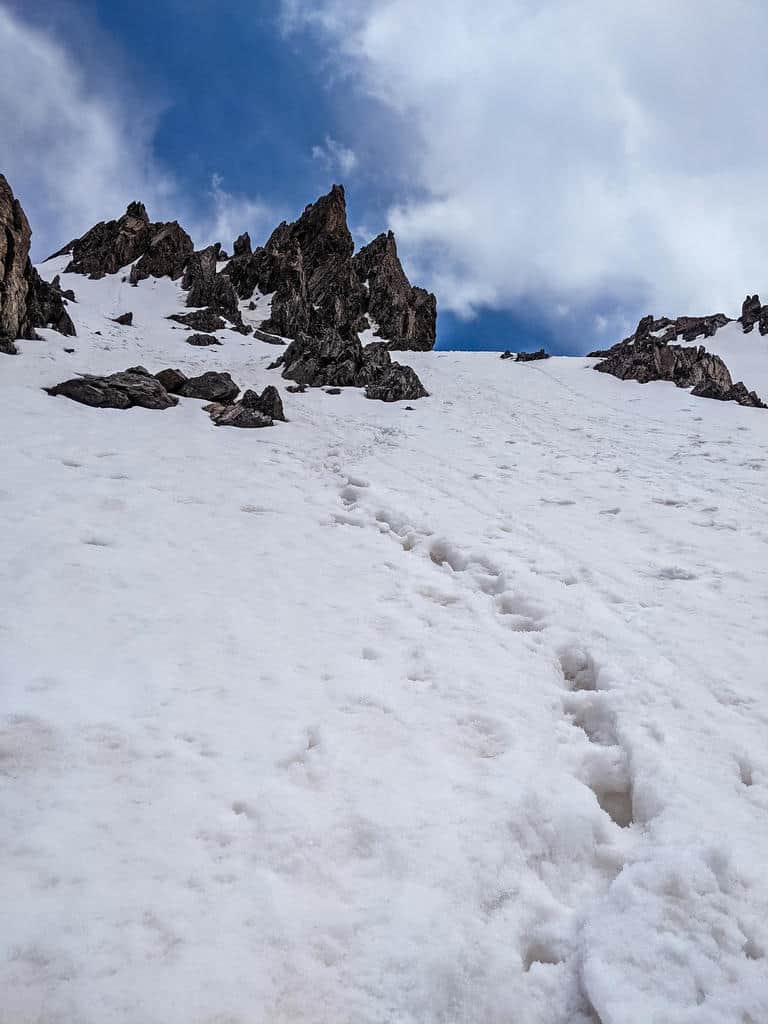

As soon as you’re in the valley, you feel the difference in altitude. You’re almost below 4000 meters now.
The hike from here on to the campsite is easy and takes about another hour and a half. The path goes gradually down and the barren landscape changes while the vegetation – and yaks – reappear.
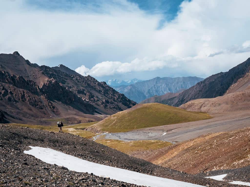
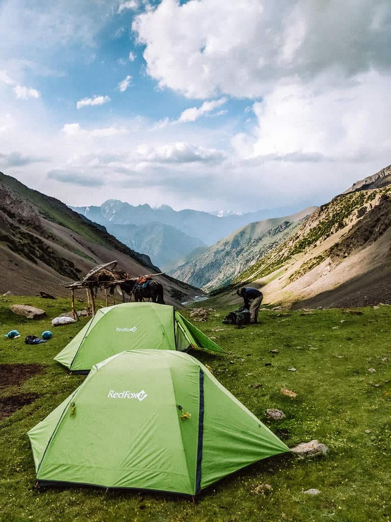
The campsite lies at an altitude of around 3800 meters so dress warmly for the night!
Day 2: Campsite – Kyzyl Shoro Village – Koshmoinok Pass – Koshmoinok Valley
- Hiking distance: 20km
- Trekking time: 6-7 hours
- Ascent/descent: 868m/ 1749m
- Difficulty: easy – moderate
Today’s hike starts relatively easy as you’re mainly going downhill during the first 4-5 hours.
While hiking down the valley you’ll notice how the scenery changes from alpine rocky to green meadows dotted with bushes of juniper trees.
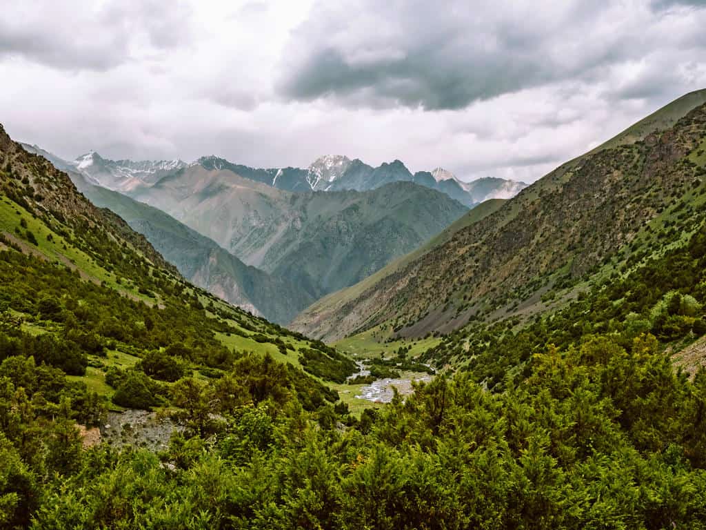
The trail continues through the hills until you reach the farmlands of a nearby village.

Continue hiking down until you’ve reached the road. Turn right and follow the road until you’ve reached the village of Kyzyl-Shoro. These last 3 kilometers along this dusty road were in my experience long as I started getting tired and the views weren’t so interesting.
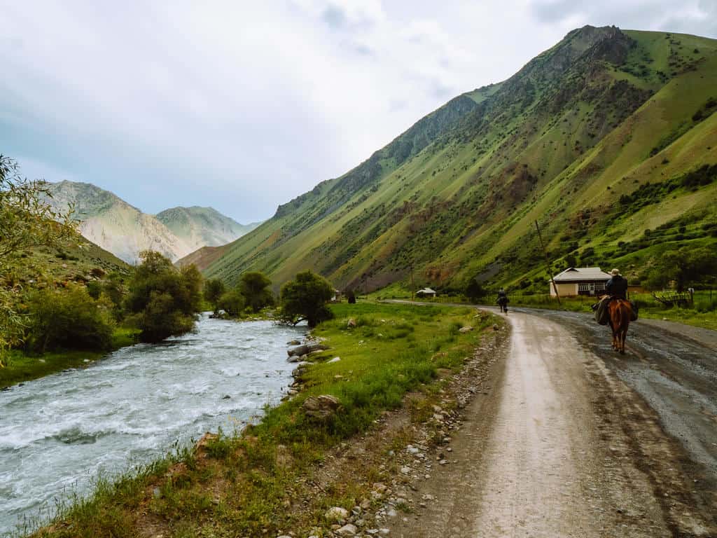
You’ll have to take this road though as a warm lunch (and the option to wash in a banya – a Russian type of sauna) is waiting for you in the CBT homestay in Kyzyl Shoro. You also have to pass this village to continue the trek towards the Koshmoinok Valley.
Tip: if you want to skip this part, you can try and hitch a ride with a passing car or truck.

Don’t stay too long in the village as you still have another 2 to 3 hours of hiking ahead of you.
To get to the Koshmoinok Pass, you have to walk a short distance on the road to the gorge east of Kyzyl Shoro village. There you’ll see a trail going towards the right up a dry river bed.

The further you move through the pastures and meadows in the gorge, the steeper the trail becomes. You have to ascend around 860 meters before reaching the Koshmoinok Pass at 3415 meters altitude.

On a clear day, you should be able to see the Koshmoinok Valley in front of you and the high Alay Mountain peaks in the distance. The photo above was taken during a thunderstorm but I still got a glance of the snowcapped mountains
It’s an easy hike down to the valley and it only takes an hour to reach one of the several yurt camps where you can enjoy a hot meal and spend the night.
You can find the details concerning these yurt stays in camping and accommodation options further below in this post.
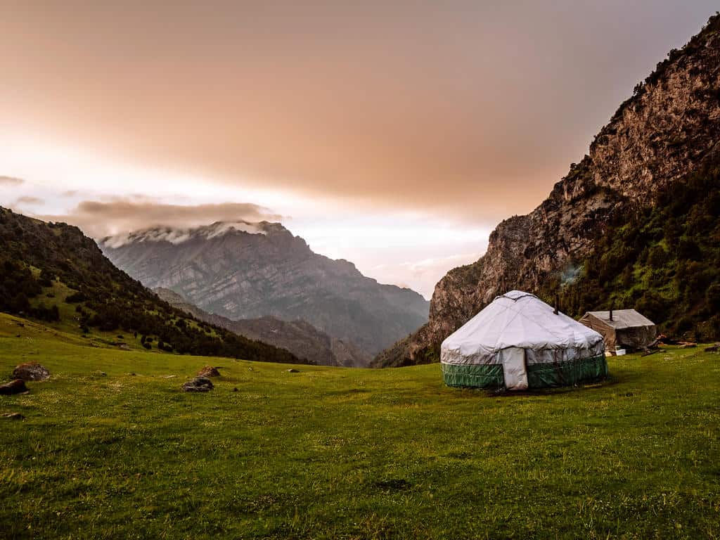
If you prefer camping, you can pitch your tent anywhere in the valley. There’s a stream nearby for cooking/drinking water.
Day 3: Koshmoinok Valley – Sarybell Pass – Three Dragons Gorge – Kojokelen Village
- Hiking distance: 12km
- Trekking time: 5-6 hours
- Ascent/descent: 412m/ 1013m
- Difficulty: moderate
This was one of my favorite days on the trek!
Start the moderate climb to the Sarybell Pass (3132m) by following the river up from the campsite/ yurt camp. The path goes up gradually and after the steep ascents in the past couple of days, this one feels like a walk in the park.
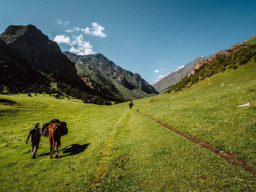
It’s an hour hiking through a lush valley dotted with grazing cows, sheep, goats, and nomadic settlements before reaching the pass.

The view from the top is again stunning as you’ll have a spectacular sight over the rugged and colorful Kichik Alay Mountains!
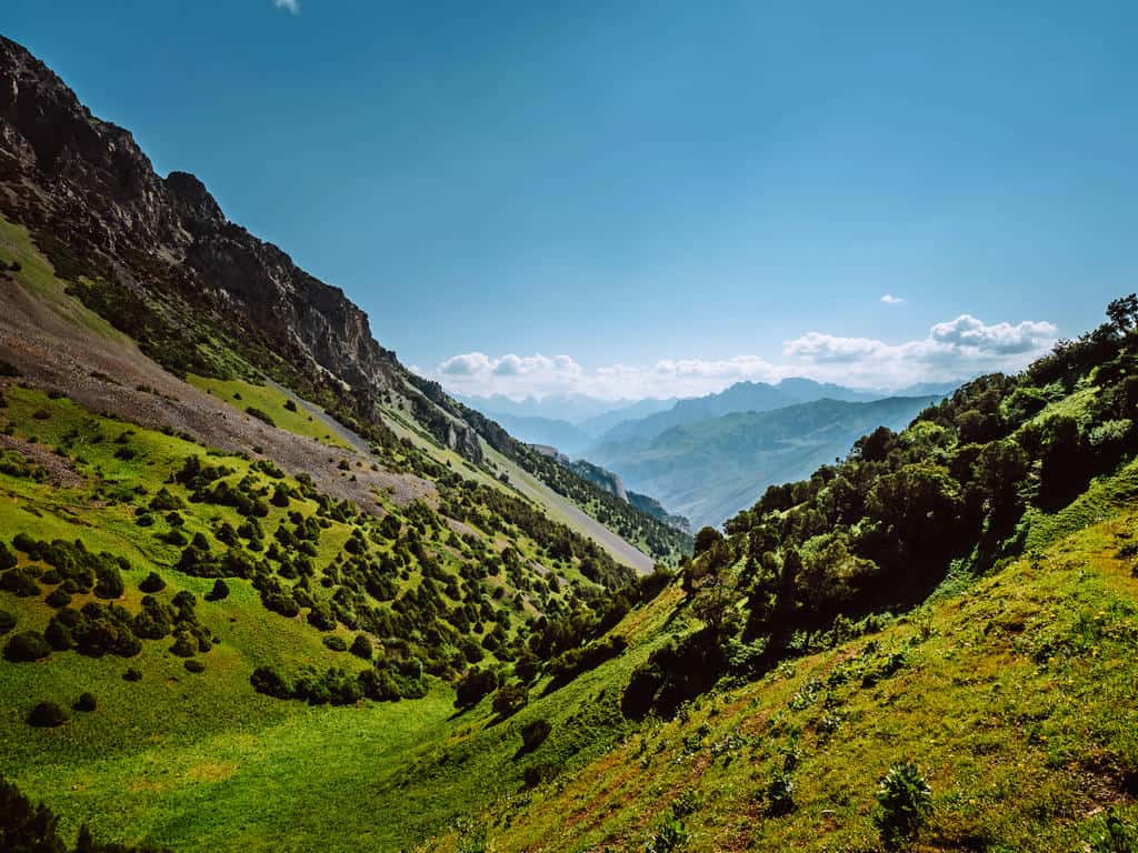
Continue left and follow the path as it winds along the edge of the hills. You’ll soon see the “Three Dragons Gorge” on your right, a spectacular expanse of unusual red rock formations.
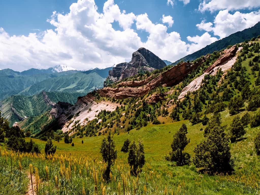
If you’re doing this trek in July, the whole valley around the Three Dragons Gorge will be in full bloom with yellow flowers, creating even more dramatic views!
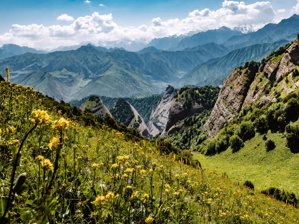
Continue the trail until you reach a green meadow. Go downhill from here and follow the path towards the left. It will take you through an even more lush valley than the one before. At some point, you’ll come across rock formations with colors varying from mahogany red and fiery orange to slate grey and frost white.

After a couple of hours hiking, the trail turns into a dirt path and you’ll see the first signs of civilization in the form of mud houses and stone walls.
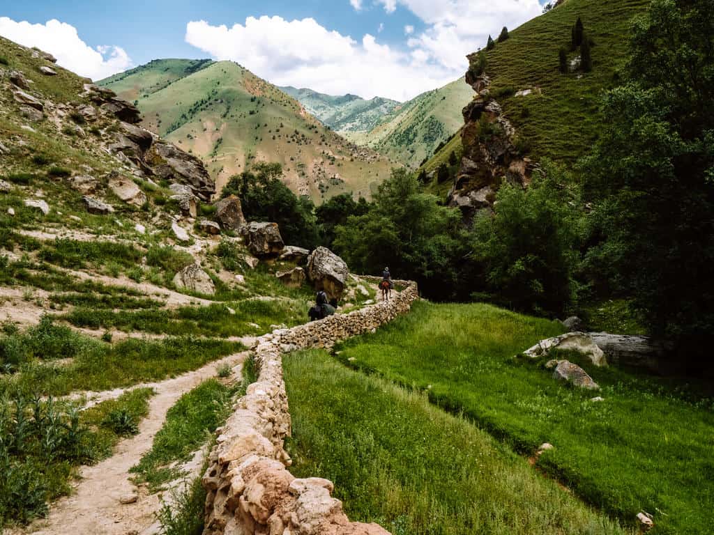
You suddenly find yourself in some sort of park that has a sacred cave and spring, which is called Holy Lake. You’ve reached Kojokelen village!

Follow the path – or the people visiting Holy Lake as it’s said the water has healing powers – until you reach a bridge. Cross this bridge and then you can go to the left or to the right to find a guesthouse or a homestay where you can eat dinner, take a hot shower and enjoy a good night’s rest.

I highly recommend staying at Jakyp CBT homestay. The owner, Mamat Jakob, and his wife were very accommodating! When crossing the bridge, turn right and follow the dirt road for about half an hour until you see a sign of this guesthouse. You can also find its location on maps.me.
Note: if you want to do a shortened version of the trek, this could be a good endpoint. You can arrange a taxi at the guesthouse upon your arrival that will take you back to Osh (4 hours) that same afternoon or the morning after. Returning to Sary Mogul Village from Kojokelen Village is only possible on foot or by horse as there is no road between the 2 villages.
Day 4: Kojokelen Village – Jiptick Jailoo
- Hiking distance: 10km
- Trekking time: 4 hours
- Ascent/descent: 833m/ 69m
- Difficulty: easy
This is the shortest, easiest, and maybe least interesting day of the Best of Alay Mountains Trek but it allows you some time to recover from the previous days.
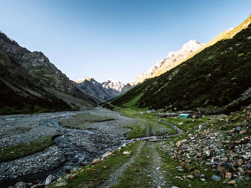
Enjoy the walk up from Kojokelen Village by following the dirt road through a beautiful green gorge. The trail inclines gradually and you’ll pass shepherds tending to their herds of yaks, sheep, and/or horses.

Take the time to interact with these shepherds, some might even invite you over for tea!
You’ll arrive after approximately 4 hours at a yurt camp in the Jiptick Jailoo. Enjoy the good care and meals provided by the family of the yurt camp and rest well as tomorrow will be a new challenging day!
Note: If you want to shorten your trekking days, you could combine this hike with day 3. I wouldn’t recommend though as you still have some challenging hiking days ahead and you might need this time to recover.
Another option could be to arrange a taxi in Kojokelen village to drive you to the Jiptick Jailoo and spend the evening of day 3 at the yurt camp there.
Day 5: Jiptick Jailoo – Jiptick Pass – Darbazatash Valley
- Hiking distance: 16km
- Trekking time: 7-8 hours
- Ascent/descent: 1150m/ 931m
- Difficulty: moderate – hard
This is the second hardest day on the trek so I recommend starting early. It takes about 3 hours to reach Jiptick Pass. You also have more chance of a clear view on the pass in the morning.
Follow the dirt road up from the yurt camp. The road will soon transform into a small trail that easily goes up along the river and takes you all the way to the foot of Jiptick Pass.
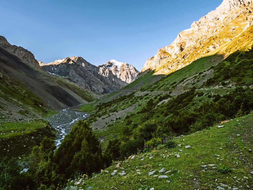
While hiking up on the trail that is now composed of loose scree, you’ll see the landscapes change from grassy hills to volcanic rock.
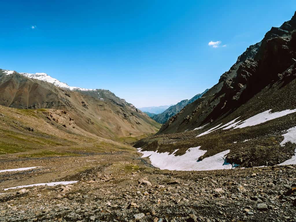
The final stretch to Jiptick Pass (4185m) is steep. Take it slow, just as on the hike to Sary Mogul Pass, and take the time to enjoy the views!
As soon as you reach the pass, you’ll see the breathtaking views of the snow-covered Pamir Mountains open in front of you! You’ll be able to spot Lenin Peak (7134m) as well.
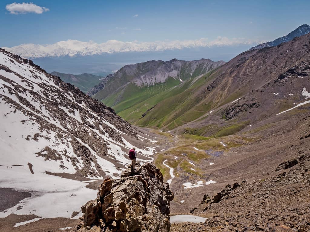
Once you’re ready to continue the trek, follow the trail to the left. The descent is steep and mainly composed of loose scree so you need to be cautious!
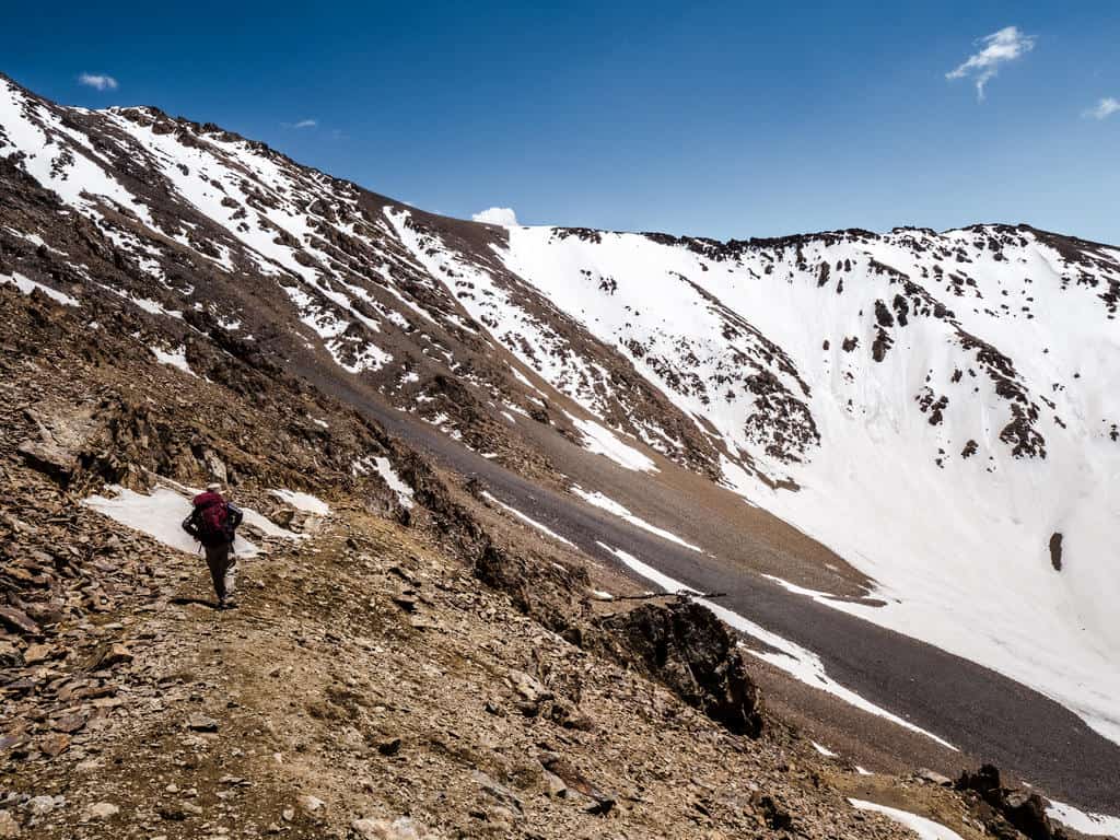
The path evens out at the foot of the pass and changes into a dirt trail. It takes about 3 hours to follow the trail across the high pastures and mountain stream, all the way down to Darbazatash Valley (3274m).
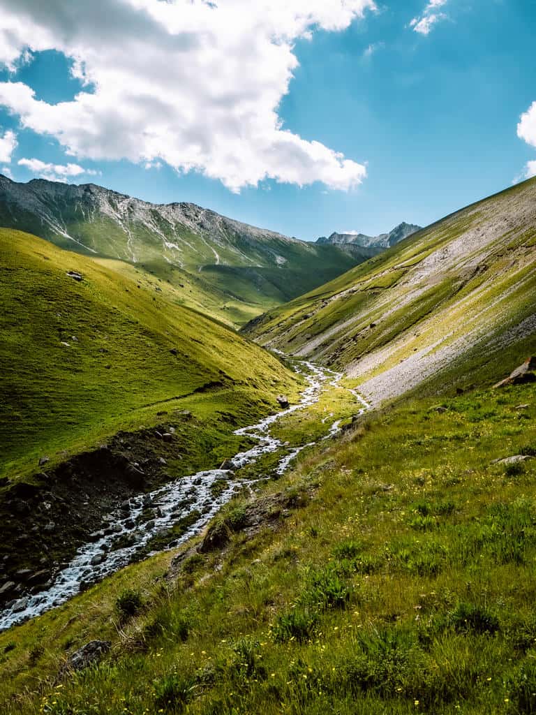
There will be a few yurt camps near the stream where you can relax, enjoy a warm meal and spend the night.

Day 6: Darbazatash Valley – Sary Mogul Village – Tulpar Kol Lake
- Hiking distance: 11km
- Trekking time: 3 hours
- Ascent/descent: 34m/ 286m
- Difficulty: easy
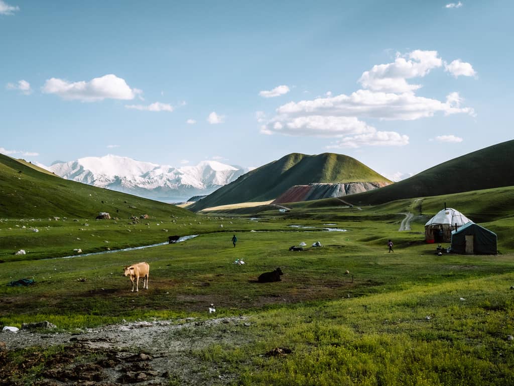
Today is another easy day. After breakfast, follow the dirt road all the way to Sary Mogul Village. This 3-hour walk takes you along several yurt camps and nomadic settlements and past a huge coal mine.
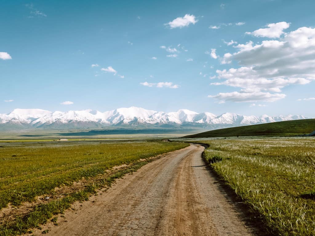
While walking, you’ll see in the distance the snow-capped mountain ranges of the Pamir-Alay Mountains.
When you reach the village, you can opt to have lunch and a shower before continuing towards Tulpar Kol Lake.
You can hike the 20km between Sary Mogul Village and Tulpar Kol (around 4 hours) but you can also opt for a taxi to drive you there (1 hour). Ask your guesthouse or the CBT to arrange a taxi for you.
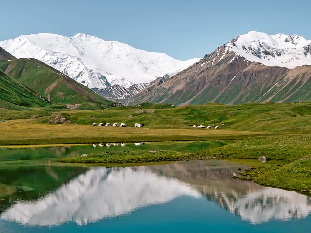
There are several yurt camps on the shores of Tulpar Kol Lake (3500m) where you can enjoy the stunning views and have a good night’s rest before the final day of this trek!
-> Tip: Arrange your transfer from Tulpar Kol Lake to Sary Mogul Village or Osh in advance. Visit Alay/CBT Osh, CBT Sary Mogul or your guesthouse can assist you with this.
Note: There are alternative options for this day:
- You can spend the night at a local guesthouse in Sary Mogul Village and arrange a ride in the early morning to Tulpar Kol Lake.
- You can skip this hiking day alltogether by arranging a taxi in advance to pick you up at Darbazatash Valley and drive you straight to Tulpar Kol Lake after your hike acroos Jiptick Pass on day 5.
- You can also choose to end your trek at Sary Mogul Village and skip the hike to Lenin Peak.
Day 7: Tulpar Kol Lake – Lenin Peak Basescamp – Traveller’s Pass – Tulpar Kol Lake/ return to Sary Mogul Village or Osh
- Hiking distance: 20km
- Trekking time: 5-6 hours
- Ascent/descent: 760m/ 760m
- Difficulty: moderate
The final day of the trek has a phenomenal panoramic view of one of the highest mountains in Central Asia, Lenin Peak (7134m), as the highlight!
The trail to Lenin Peak Basecamp and Traveler’s Pass is very clear. Walk up from the yurt camp to the south and cross the bridge that will appear after 10 minutes of hiking.
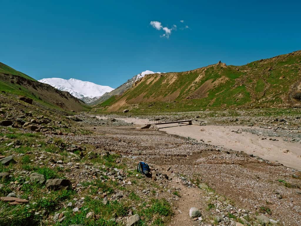
Continue hiking through the grassy fields until you reach the tents of big travel companies that accommodate the mountaineers attempting to climb Lenin Peak.

Pass the basecamp and continue following the trail. You’ll come across a small memorial of climbers who died in their attempt to conquer the Peak.

Keep following the trail that gradually goes up. You might meet other hikers, mountaineers, and porters on horses coming back from one of the altitude training camps near Lenin Peak.
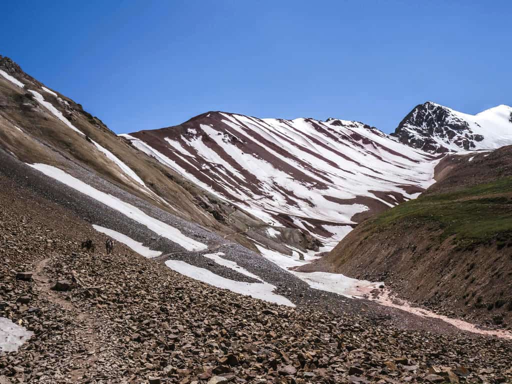
The last 20 minutes to Traveler’s Pass are the hardest. The path becomes a steep zigzag trail that ends up at the mountain pass. A magnificent view of glaciers tumbling off the majestic Lenin Peak unfolds in front of you!
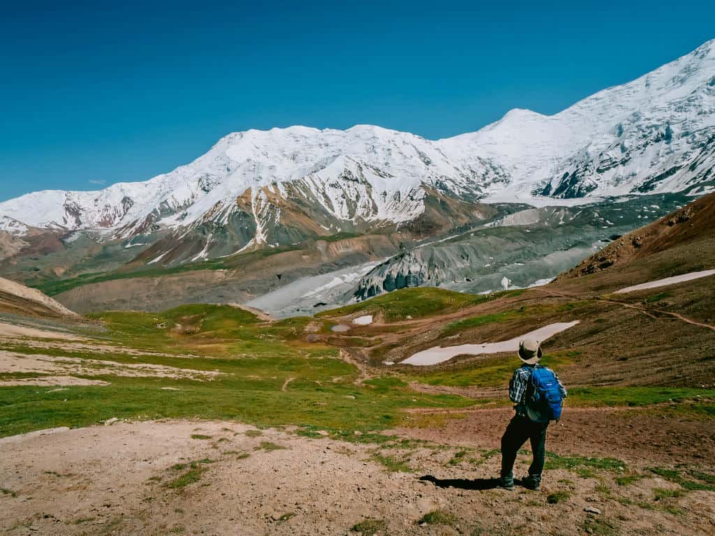
This pass is named “Traveler’s Pass” as it’s the passage for trekkers, mountaineers, and porters to hike towards the three higher camps before the final ascent to Lenin Peak.

It’s crazy to think that Lenin Peak is “only” 26km from where you’re standing on the pass. While this summit is called “the easiest to conquer”, it shouldn’t be underestimated! People already lost their lives in the effort to ascend the peak…
You could, however, continue your hike towards Camp 1, lying at an altitude of 4400m. Camp 2 (5300m) and Camp 3 (6100m) are more challenging to reach in one day…
Whether you stay at Traveler’s Pass or go towards Camp 1, to return to Tulpar Kol Lake you have to take the same trail back (2 hours coming back from Traveler’s Pass).
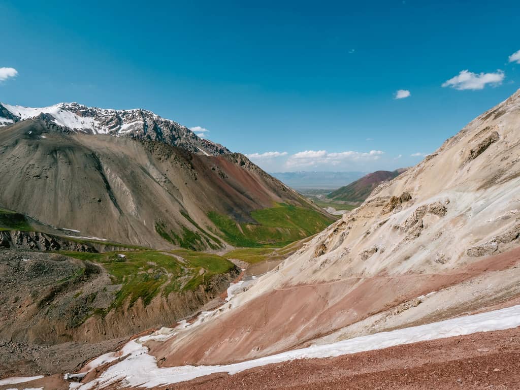
You can choose to spend one more night at the yurt camp on the shores of Tulpar Kol Lake or return to Sary Mogul Village (1 hour) or Osh (5 hours) the same evening. Either way, you should arrange your transport in advance at Sary Mogul Village – see 7. How to get to the Alay Mountains.

Want to experience this hike without worrying about the planning?
Join our 12-day Best of Alay Trekking Adventure and discover the highlights of the Alay Mountains with a small group of like-minded travelers while we handle all logistics for you!
Dreaming of hiking through wild mountain landscapes, horseback riding across alpine pastures, sleeping in yurts, and exploring remote valleys by 4×4 with a small group of adventurous travelers?
3. Things you need to know and prepare before going on this trek
3.1 Border zone permit
You need a Border Zone Permit to visit Lenin Peak Base Camp as it’s close to the border with Tajikistan. It takes 10 to 20 days to issue the permit, so you need to apply and pay in advance. CBT Osh or Visit Alay can help you obtain this permit.
If you decide not to go to Tulpar Lake and Lenin Peak Base Camp and finish the trek in Sary Mogul Village on day 6, you won’t need a Border Zone Permit.
3.2 Topographic map/ GPS
If you’re doing this trek independently, you can buy a printed trekking map of the Osh/Alay region at the CBT office in Osh and Sary Mogul.
You can also navigate the trail using the offline map on Maps.me or download the GPS tracks here. Just make sure that if you use an app on your phone, you also bring a portable charger with you, so it stays charged for the duration of the trek!
The Alay Mountains will charge your spirits, but there aren’t any power plugs for your electronics there…
3.3 Camping and accommodation options
- Camping:
One of the things I love about traveling and hiking in Kyrgyzstan is that you can pitch your tent anywhere. It’s, after all, a country of (semi) nomads.
You can bring your camping gear on this trek and camp wherever you like. The downside is that you’ll have to carry all your equipment and food for the duration of the hike and that you need to be prepared for cold nights!
That’s why I’d recommend checking out the option of yurt stays.
- Yurt stays:
There are many yurt camps along the trail in the Alai Mountains where you can spend the night. You’ll get to stay with a shepherd family, interact with them and learn more about their life in the mountains.

Usually, you’ll be sleeping in a separate yurt that you might or not might have to share with other hikers. There are stoves, sleeping mats, and tons of blankets in the yurts so you won’t be cold at night, which means that you don’t need to bring a tent, sleeping bag, and sleeping pad.
The family will also prepare you breakfast and dinner. The hearty meals usually consist of homemade bread, jams, cream, rice, potatoes, vegetables (like tomatoes, carrots, cucumbers) and meat. You’d only have to foresee snacks for lunch, which makes a big difference in weight!
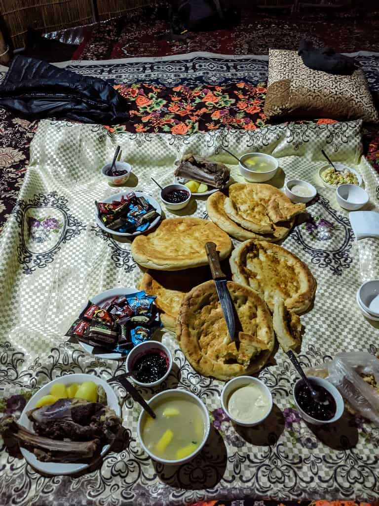
A yurt stay per night (dinner and breakfast included) costs around 1200 som per person, and you’ll be contributing to the income of the local family.
You can’t book any of these yurt stays online, with the exception of the CBT Yurt Camp at Tulpar Kol Lake and Yurt Camp Lenin Peak on the shores of Tulpar Kol Lake. I stayed in the Lenin Peak one and can really recommend it!
You can ask CBT Osh/ Visit Alay to organize your stay, or you can try to wing it by showing up on the day itself and hoping there’s sleeping space for you available.
-> On the itinerary above, you’ll see that I mentioned camping on day one as there wasn’t a yurt camp at that time due to the lack of tourists in 2020. However, the people from Visit Alay have told me that there will be a yurt camp again for the coming seasons. Contact CBT Osh/Visit Alay beforehand about the availability of the yurt stays.
- Guesthouses and homestays at Sary Mogul:
There are several homestays and guesthouses in Sary Mogul. I stayed at Guesthouse Lenin Peak (the same family who runs the yurt camp at Tulpar Kul Lake). It’s a lovely guesthouse with colorful and well-kept rooms!
3.4 Drinking water along the trek
There’s no need to carry liters of bottled water as there are many rivers, streams, and freshwater springs in the Alai Mountains where you can refill your reusable water bottle. You can also request boiled water if you’re staying at yurt camps.

I also highly recommend bringing something to purify the water. Our stomachs aren’t used to the minerals and bacteria of the mountain water. I use the reusable water filter bottle from Lifestraw, and I never had any issues. You can also get a separate water filter or use a steripen.
If you’re worried about getting sick, you could also bring a Jetboil Camping Stove to boil the water. My guide on this trek had a Jetboil with him, and I was so amazed by its weight (super light!) and efficiency that I now have one as well!
3.5 Trail Conditions
The Best of Alay Mountains Trek trail is generally safe, but you need to be aware of some potential dangers and challenges.
The trail is often narrow and steep, and there are parts where it’s mainly composed of scree and small pebble, which can make it dangerous when it rains or snows.
Depending on the time you go, there might still be snow or ice on the trail. I did this trek at the beginning of July and had to descend the Sary Mogul Pass in knee-deep snow, which made the descend pretty dangerous.

When going up the Jiptick Pass, there was still a lot of ice and snow on the trail, which made the ascent challenging. A couple of shepherds moved a big herd of sheep over the mountain pass, and one of their donkeys even refused to go up (one of our horsemen helped it safely return to the village afterward).
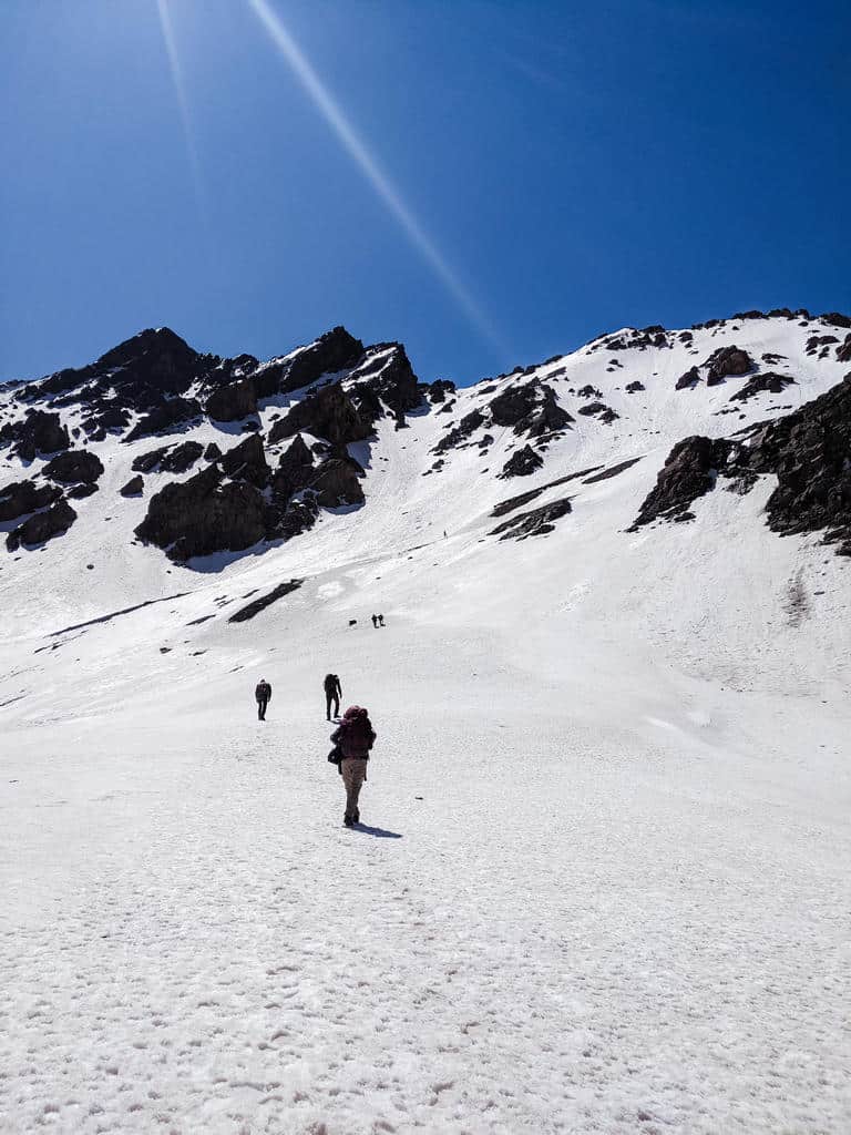
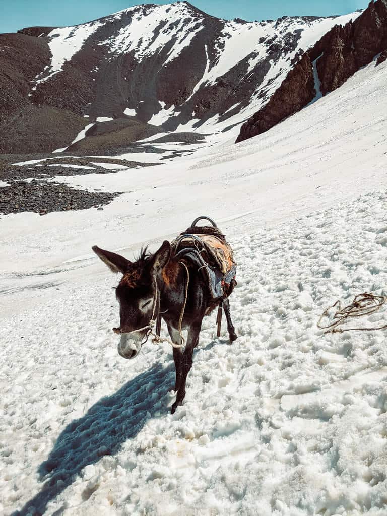
There are also tons of river crossings to keep in mind. There is usually some bridge where you can cross, but if there has been a recent flood, most of those bridges are washed away. This means that you might have to wade knee-deep through the icy cold river on slippery stones.
I’m not telling you this to make you scared, so you no longer want to hike this trail. On the contrary, I still think it’s one of the best treks in Kyrgyzstan!
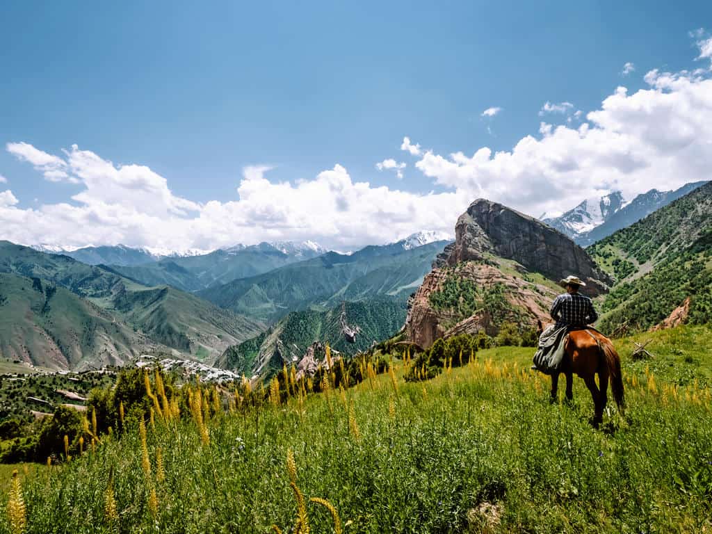
I’m just sharing this information as you need to be aware of potential dangers, and that’s why I highly recommend doing this trek with a guide (see section 5. Trekking independently or with a guide?)
The trail conditions depend on the weather, and if the weather is fine, the trail should be fine and safe. Therefore, read section 4. When to go and what weather to expect in the Alai Mountains? thoroughly!
Wear good waterproof hiking boots with a good grip on rough terrain and bring trekking poles to support your steps and stability, especially during the steep downhill sections.

3.6 Altitude Acclimatization
The majority of the Best of Alay Mountains Trek is at over 3000 meters in elevation. If you’re prone to altitude sickness, you should consider this and do some altitude acclimatization before starting this trek.
I did a few shorter hikes and treks before going on the Best of Alay Mountains Trek. There are some beautiful day hikes in the Alay Valley, like the day-hike to Kosh Kol lakes. I also did the 3-day Scenic Ak-Tor Pass Trek in the Lower Alai Mountains, which prepared me well.
4. When to go on and what weather to expect in the Alay Mountains?
The trekking season in Kyrgyzstan starts from early-to-mid June and ends mid-to-late September, depending on the weather conditions and snowfall in the mountains.
I recommend doing the Best of Alay Mountains Trek between mid-July and mid-August as the weather in the Alay Mountains is then usually warm and dry.
If you want to do this trek at the end of June or the beginning of July, keep in mind that most mountain passes will likely still be covered in snow. You’ll also have more chances of rain as the sun’s heat melts the snow on the mountain peaks.
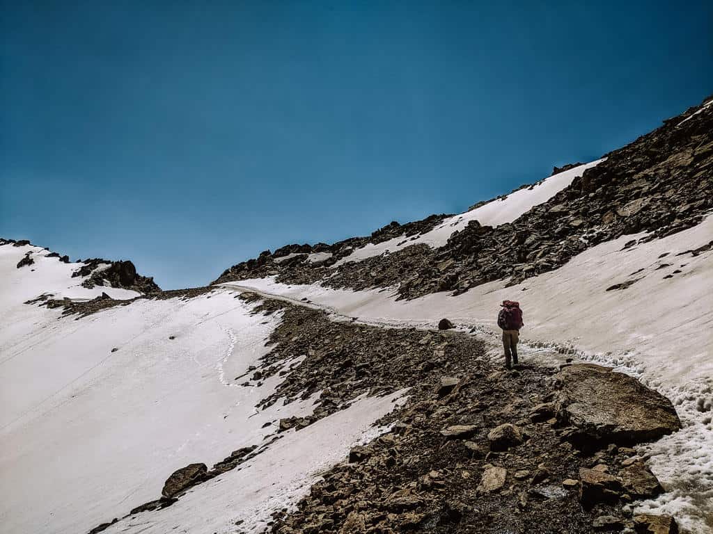
It’s also doable to go trekking in the Alai Mountains at the end of August or the beginning of September but know that this is when it starts getting a lot colder.
It’s worth knowing that yurt stays are only possible from mid-June to mid-September, depending on the weather. The shepherds won’t go with their cattle to the higher mountain pastures until the snow has cleared, and they leave as soon as it starts getting too cold in September.
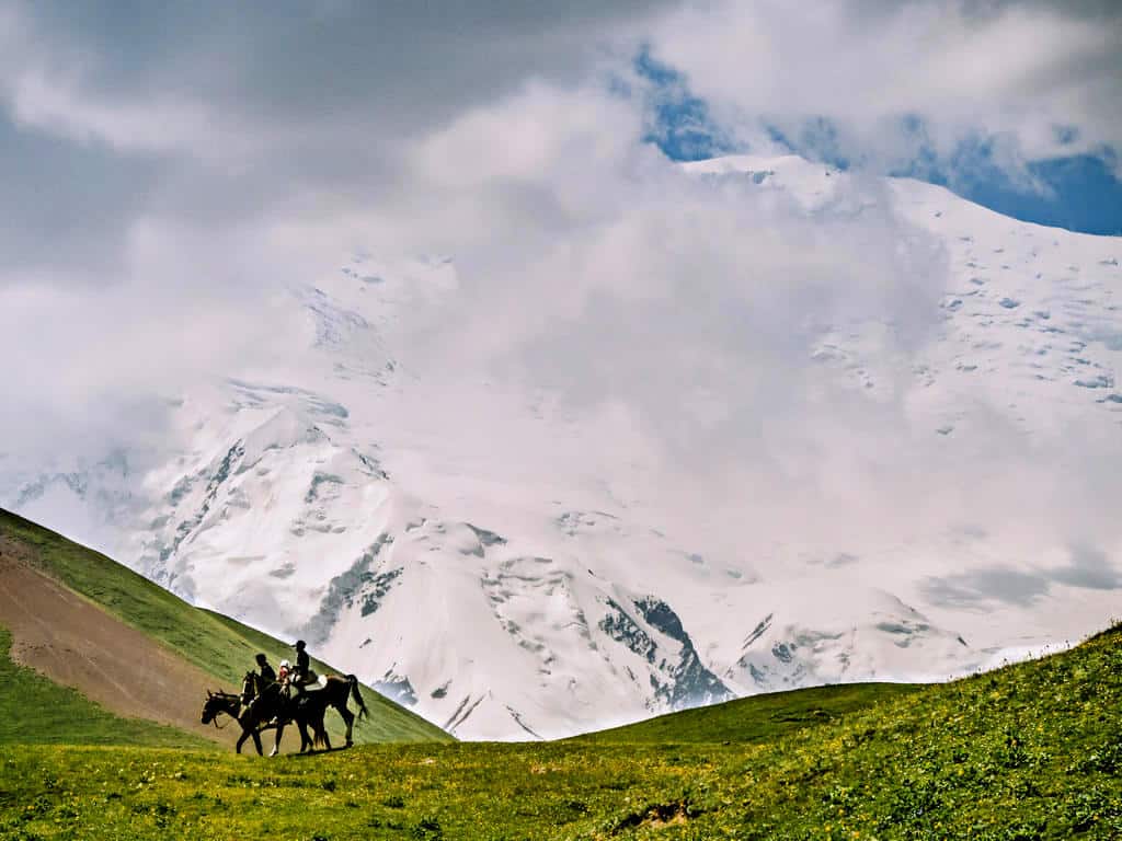
Even if you’re trekking in the midst of summer, always remember how unpredictable the weather in the mountains is! The days might start bright and sunny, but you can get caught in a thunder or hail storm before you know it.
Never continue trekking when there’s poor visibility due to fog, snow, or heavy rainfall! It can be dangerous to hike when the trail is barely visible or wet.
You should always hike with a proper rain jacket, rain pants, and a warm sweater in your backpack!!

5. Best of Alay Mountains Trek: Trekking independently or with a guide?
You can do the Best of Alay Mountains Trek either independently or with a guide. The majority of the trail is marked, and the route can be found on either the regional trekking map, which you can buy at the CBT office in Osh, or on maps.me.
However, as I’ve mentioned before, you’re hiking in wild and remote mountains where it’s very easy to get lost. The weather conditions also play a huge factor in your safety! Unless you’re very (very!) experienced, I’d highly recommend hiring a guide.
A guide will ensure that you’ll always find your path and help you with the more challenging parts of the trek; he will also provide a stronger experience in your connections with the local people.
My guide Aziret was invaluable during my trek! He was my interpreter during the interactions with the shepherds so I could have more meaningful conversations. He gave me much more insight into the region’s local culture and daily life as he grew up in the Alay Mountains.
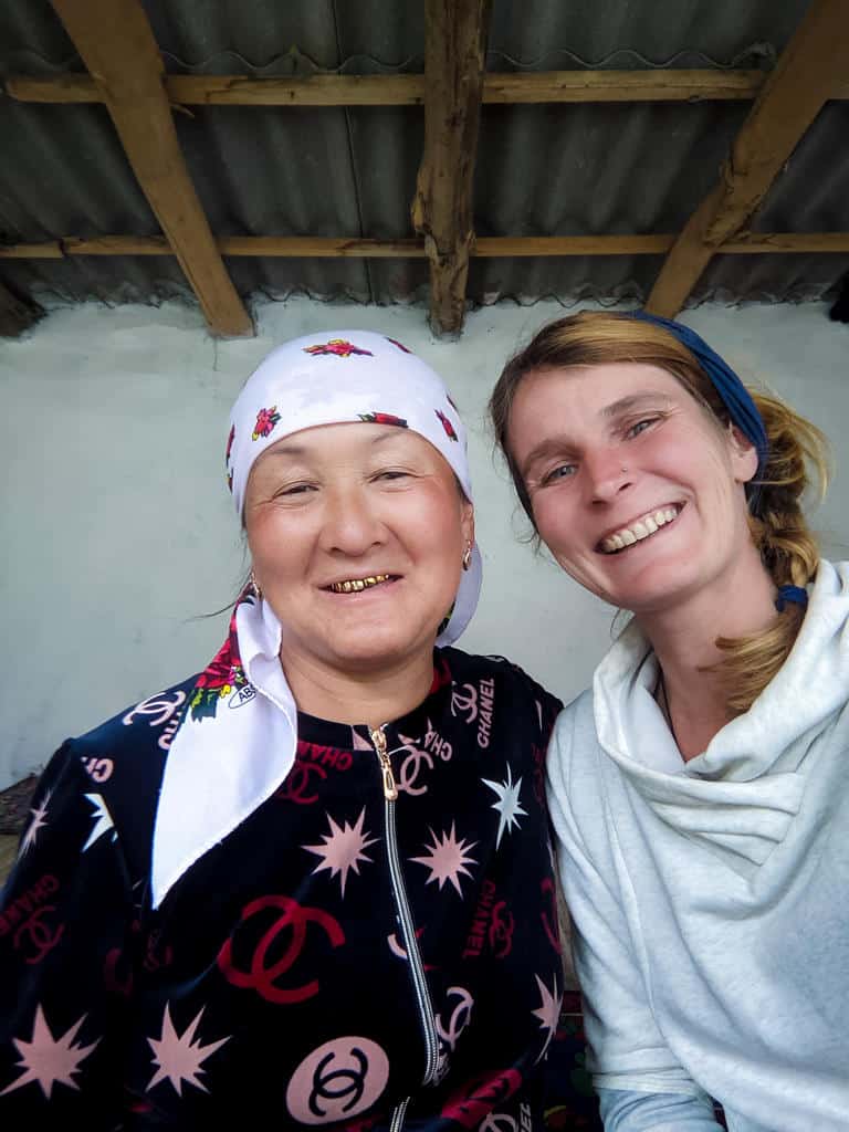
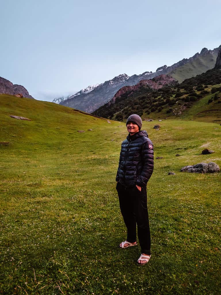
He also helped me big time while crossing the snow-covered Sary Mogul and Jiptick Pass, and his presence made the overall experience so much better! And I almost forgot, Aziret was also a great cook!
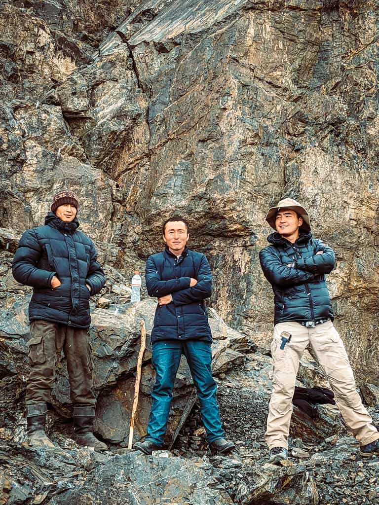
I understand that going solo on a multiple-day trek in wild and remote mountains might sound appealing and adventurous but understand that it’s also dangerous and – I don’t mean to offend anyone – stupid, especially if you don’t have much experience.
I’m an experienced trekker, so I hope you trust me when I say never go on this trek by yourself!
I understand if you want to save money by not hiring a guide, but then make sure you have a trekking buddy and let the people of your guesthouse or CBT office know about your hiking plans in case something happens.
Where to find a reliable guide – organizing the Best of Alay Mountains Trek with a trekking agency
Visit Alay organized my trek, a trekking and travel agency run and administered by Community-Based Tourism (CBT) in Osh and Alay Mountains.
Talant, the manager of Visit Alay, invited me on this trek to help assess local tourism development projects and evaluate new and existing trekking trails in the Alay region.
Talant is from the Alay mountains, and he knows the local communities well.
He uses a portion of the profit to help and support local communities: he’s training guides, offers work opportunities to young adults, sets up English schools and platforms, and provides an income to the local families through his tour services.
I was delighted with my experience and the level of service! I’ve already worked with and used the services of several travel agencies in Kyrgyzstan, and Visit Alay is honestly one of the best and most reliable ones! I also really like what he does for his community and region.
I guess it’s not a surprise that I highly recommend Visit Alay to help you with organizing this trek.
They offer this trek as an 8-day tour (private or in a group), including transfer from and to Osh.
If you don’t want the whole tour package, they can help you find a reliable guide and pack horses and trekking gear. They will also help you organize a border zone permit, transfer to and from Sary Mogul Village, and yurt stays during the trek.
You can find Visit Alay in the CBT office in Osh or contact them directly through their website.
Want to experience this hike without worrying about the planning?
Join our 12-day Best of Alay Trekking Adventure and discover the highlights of the Alay Mountains with a small group of like-minded travelers while we handle all logistics for you!
Of course, you’re free to do your research to make your trekking arrangements. Sary Mogul Village also has a CBT office that helps organize treks, guides, pack horses, and homestays, but I don’t have any experience using their services.

6. Alay Mountains Trekking costs for guides, horses, gear and acommodation
I currently don’t have an updated price list on how much it would cost to hire a private guide, horse and horseman, and trekking gear. You can always contact Visit Alay/ CBT Osh for updated prices.
You can always join a group/ private tour in which everything is included. Check out the prices for the 12-day Best of the Alay Mountains Trekking or the 16-day Best of Kyrgyzstan Adventure Trek. Prices for a group tour depend on the number of people joining.
The guesthouses and yurt stays in the Alay Mountains have a similar price range: it currently costs 1200 som (around €12/$15) per person per night, including dinner and breakfast. This price is subject to change.
If you’re going to camp but want to have a meal in a yurt, count on 300 som per person per meal.

7. How to get to the Alay Mountains
The Alay Mountains are located in the southwest of Kyrgyzstan, close to the border with Tajikistan, China, and Uzbekistan.
If you’re traveling from Tajikistan (via the Kyzylart – Bor Dobo border crossing) or from China (via the Irkeshtam border crossing), you can travel directly to Sary Mogul or Sary Tash by (shared) taxi.
If you’re traveling from Uzbekistan (via the Dostuk border crossing) or from within Kyrgyzstan, the easiest way is to first go to Osh, where you can find direct transport to Sary Mogul.
How to get to Osh
If you’re already in Kyrgyzstan and traveling in or near the capital city of Bishkek (including the regions of Chuy and Issyk Kul), the fastest way would be to take a quick 40-minute domestic flight from Bishkek to Osh.
If you prefer to travel overland from Bishkek to Osh, you can take a shared taxi from the New Bus station in Bishkek. This ride costs around 1200 som per person, and it’s an 11-hour journey from Bishkek to Osh. There are no buses or marshrutkas (minibusses) between Bishkek and Osh as the route goes across several mountain passes.
If you’re coming from any other big town or city in Kyrgyzstan (Naryn, Talas, Jalal-Abad, etc.), you’ll quickly find a shared taxi or mashrutka from the local bus station of this town/city to Osh.
How to get from Osh to Sary Mogul
You can get from Osh to Sary Mogul by (shared) taxi or mashrutka.
There’s one daily mashrutka that goes from Osh to Daraut-Korgon via Sary Mogul. It usually leaves around 2 pm from the Old Bus Station, which is located in the city center at the head of Osh Bazaar near Aravanskaya.
Know that these marshrutkas only leave when full, so it could take a while before you leave, or it might be full if you show up at 2 pm. It’s still better to go a bit earlier and wait until the van is full. It costs around 400 som per person, and the journey takes about 5 hours.
You can also take a shared taxi to Sary Mogul at the New Bus Station. These also don’t leave until the car is full, but several shared taxis run throughout the day. It costs 500 som, and the journey takes around 4-5 hours.
The best and most comfortable way to get from Osh to Sary Mogul is by private transfer. You pay 4500 som for a private car that fits 4-6 people, and the journey takes around 4 hours. You can book your private transfer through Visit Alay/ CBT Osh or CBT Sary Mogul.
How to get from Sary Mogul TO THE START OF TREK
It’s a 20-minute drive from Sary Mogul to the trailhead of the trek. The best way is to ask Visit Alay/ CBT Osh, CBT Sary Mogul, or your guesthouse to arrange a taxi for you.
How to get from Tulpar Kul Lake to Sary Mogul or Osh
When you finish the last day of the hike at Tulpar Kul Lake, you probably don’t want to hike back to Sary Mogul.
You can book transfer with Visit Alay/ CBT Osh or CBT Sary Mogul to pick you up at Tulpar Kul Lake and drive you back to either Sary Mogul (1 hour – 2000 som per car) or back to Osh (5 hours – 6500 som per car).
8. What should you bring on the Best of Alay Mountains Trek – Packing list
It’s very important to have the right equipment with you on this trek! You’ll be dealing with unpredictable weather and harsh terrain.
You can find a complete overview of my Ultimate Packing List for trekking in Central Asia but here are already some of the essentials:
- 2 sets of hiking clothes (one set to wear, one set as spare)
- Warm clothes, thermal underwear, hat and gloves for the evenings
- Waterproof windbreaker and rain pants
- Rain cover for your backpack to keep your belongings dry
- Good trekking boots + pair of sandals so you can take off your hiking boots in the evening and put on a pair of light sandals with socks (don’t worry, there’s no fashion police in the mountains)
- Sunglasses, sunscreen and lip balm
- Walking poles
- Reusable water bottle with filter or steripen
- Head lamp: even if you’re staying in a yurt, you’ll need one to find the outdoor toilet at night. There’s also no electricity in the yurts.
- Eco-friendly toiletpaper
- First-aid kit
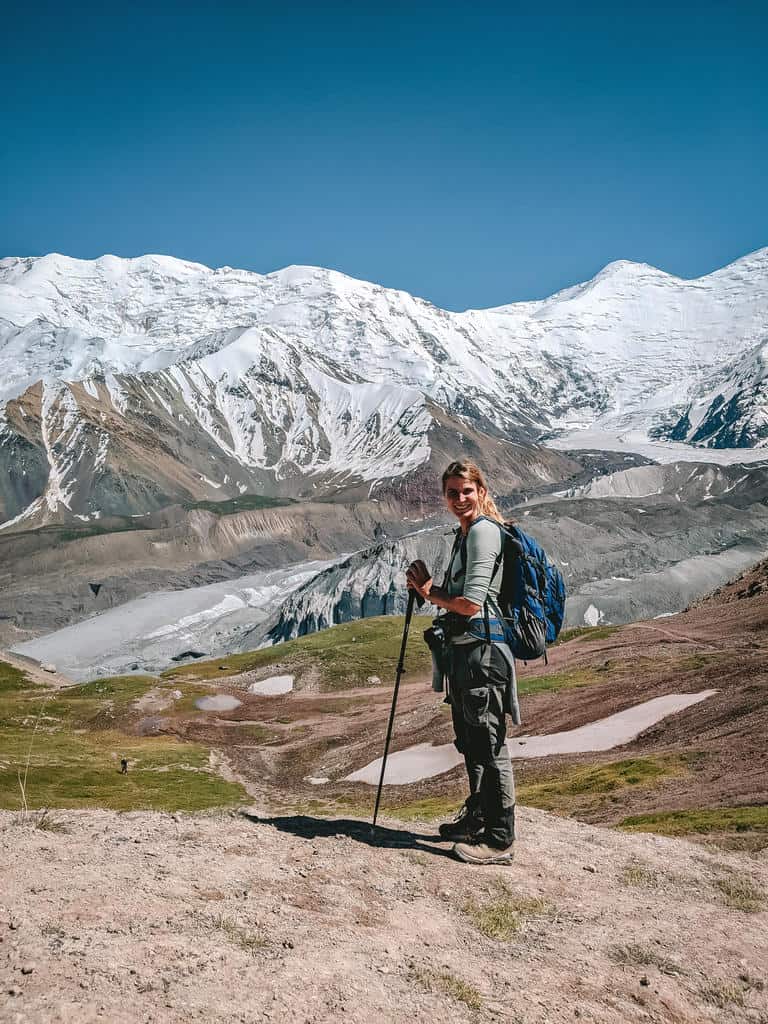
I hope my post and photos inspired you to go on the Best of Alay Trek! If you have any more questions, please don’t hesitate to contact me or leave a comment below. If you decide to go on this trek, I’d love to hear about your experiences!!
Disclaimer: This guide has been created in partnership with Visit Alay to help develop and promote tourism in the Alay Mountains in Kyrgyzstan. All thoughts and opinions are, as always, my own.
Related Posts

Kyrgyzstan Itinerary: The Ultimate 7, 10, 14 & 21-Day Travel Guide
Why Visit Kyrgyzstan: 12 Reasons why I fell in love with this special country in Central Asia
The best things to do around Issyk Kul Lake in Kyrgyzstan: Highlights, Hiking & one-week itinerary

The Complete guide to the World Nomad Games 2026 in Kyrgyzstan

Naryn Travel Guide: 12 Best Hikes & top things to do in Naryn Kyrgyzstan
Kyrgyzstan Money Guide: Costs of Living and traveling in Kyrgyzstan in 2026
The best way to get from Tashkent to Osh and from Osh to Tashkent, crossing the Dostyk border (Kyrgyzstan – Uzbekistan)

Best Tips and complete Packing List for Traveling in Central Asia in 2026 – When to go and what to wear when visiting Central Asia

Very informative. Thanks. Was wondering if Google Translate worked at all for you. If I download the language (Russian) before heading out.
I assume there’s no internet with mobile data once you’re out there.
Thanks.
Hi Glennn,Google Translate has been working great for me (if it wouldn’t, I wouldn’t recommend it ;)). There’s barely any mobile connection in the mountains so you should download the offline version.
I’m booking this 7 day trek with CBT now and the price to book with them is 2,500 per night. I’m not sure what it costs at the camp if you book directly, but they say 2,000 of it goes to the local yurt people and the rest is used to help build facilities. Just wanted to give you an update on pricing.
Hi Jennifer, thanks for the update. Yes, it’s very likely that the prices went up again this summer. And yes, the CBT gives 2000 som to the local people and invest the rest in helping building facilities, giving English lessons, building towards sustainable tourism,…
Hi Cynthia!
Great post and very helpful! My husband and I will spend about two weeks in Kyrgyzstan in late July to mid-August and after reading about your Alay mountains 7-day trek you got us really stoked about this trek. As hikers, we are somewhere between intermediate and advanced beginners, with a tendency towards intermediate as we have done several mountainous treks for multi-day hikes. Our equipment is a mixture of lightweight and ultralight-weight gear, and we have camped in night temperatures down to -15°C. We were wondering, as you describe your pack list on a separate site, where your backpack weighs in (approx.) for this trek. As you organized the trek through an agency, I assume you packed only lunch and snacks, am I right? Did you aso use a porter or only a guide? Some more details about the backpack and pack weight and the logistics around would be very much appreciated. 🙂
Hi Nadine!
Happy to hear my post is helpful! As I did this trek with Visit Alay, they provided a horse to carry our backpacks and food. So it was me, my guide, the horse and the horseman :). We also had to foresee lunch for nearly all days + dinner and breakfast for the first day. The other days we ate at yurt camps or homestays. I’d say that my backpack weight, including my camping gear, was around 9kg (without the weight of the food) for this week of trekking. Let me know if you have more questions!