
Everything you need to know about hiking in the Alay Mountains in Kyrgyzstan. An overview of the 7 best and most beautiful hikes in the Osh/ Alay region, including day-by-day hiking itineraries, how to get there, what to pack and how to organize these hikes.
The Alai or Alay Mountains, also referred to as the Alay Valley, are a stunning sub-range of the Pamir-Alay Mountain system in the southwest of Kyrgyzstan.
They are known for being some of Central Asia’s most beautiful and dramatic mountains with their green and alpine landscapes.
The Alay Mountains are also some of the most untouched mountain ranges in the world as they’re hard to access by public transport. Most travelers don’t even know about their existence (yet).
The Alay region has small traditional villages with many nomadic shepherds living in yurt camps during summer. It’s a great place to learn more about local life, gain insight into the nomadic culture, and, of course, go on hikes to enjoy the wild and fabulous nature.
There’s a reason why the Lonely Planet calls the Alay Valley “Central Asia’s trekking utopia.”

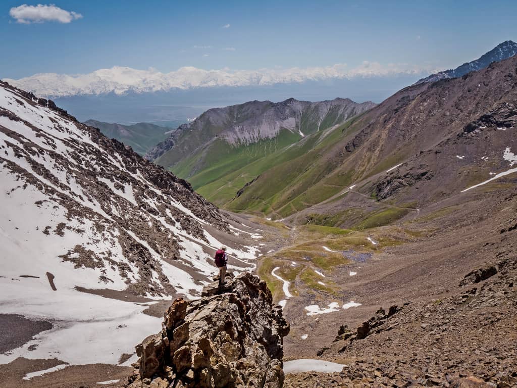
There are many hiking trails in the Alay Mountains – from day hikes to multiple-day treks – along luxuriant valleys and pastures filled with grazing horses, yaks, sheep, and cows, crystal-clear alpine lakes, and rugged mountain passes with panoramic views over snow-capped peaks and glaciers.

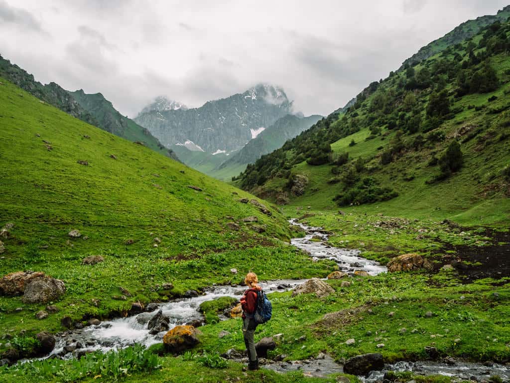
Some of the hiking trails are just one hour away from Osh in the Kichik Alay, which means lower Alay Mountains. These hikes are great for altitude acclimatization as most mountain passes are between 3000 and 3500 meters high.
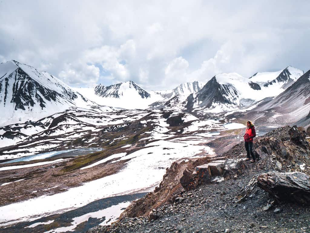
The higher Alay Mountains in the southern part of the Alay mountain range have passes above 4000 meters altitude. The trailheads of the hikes in the higher Alay are close to Sary Mogul Village (about 4 hours driving from Osh).
In this Alay Mountains Trekking Guide, I’ll share all the information you need to know about hiking in the Alay Mountains. From the best day hikes and multi-day treks, including detailed day-by-day hiking itineraries to how to organize these treks if you want to go independently or with a guide, and what to pack.
See all my Kyrgyzstan Travel Guides
Disclaimer: This posts might contain affiliate links, meaning that if you make a purchase through these links, I may earn an affiliate commission. Thank you for helping to support this website!
Plan your trip to kyrgyzstan!
✈️ Find the cheapest flights → Check fares to Bishkek or Osh
🏨 Find hotels & yurt stays → Browse the best accommodation deals
📱 Stay connected → Get a Kyrgyzstan eSIM
🛡️ Travel insurance → Don’t travel Central Asia without coverage
🎒 What should you pack? → Read my Kyrgyzstan packing list
🥾 Want to go hiking? → Discover the most beautiful hiking trails in Kyrgyzstan
🐎 Want to go horse riding? → Check out my favorite horse trekking experiences
🗺️ Need help planning your route? → Learn about my itinerary planning services
⛰️ Prefer traveling with a group? → Join one of my Kyrgyzstan adventure tours
What you need to know before hiking in the Alay Mountains
1. When is the best time to hike in the Alay Mountains
The best time for hiking in the Alay Mountains is during summer, from mid-June to mid-September.
The trails in the lower Alay Mountains are usually already open by mid-May and remain accessible until early October, depending on the snowfall.
The mountain passes in the higher Alay Mountains should be cleared of snow by the beginning of July and the trails remain accessible until mid-September.
Summer is also the time when the nomadic shepherds move from their villages to the jailoos (summer pastures) in the mountains to set up yurt camps.
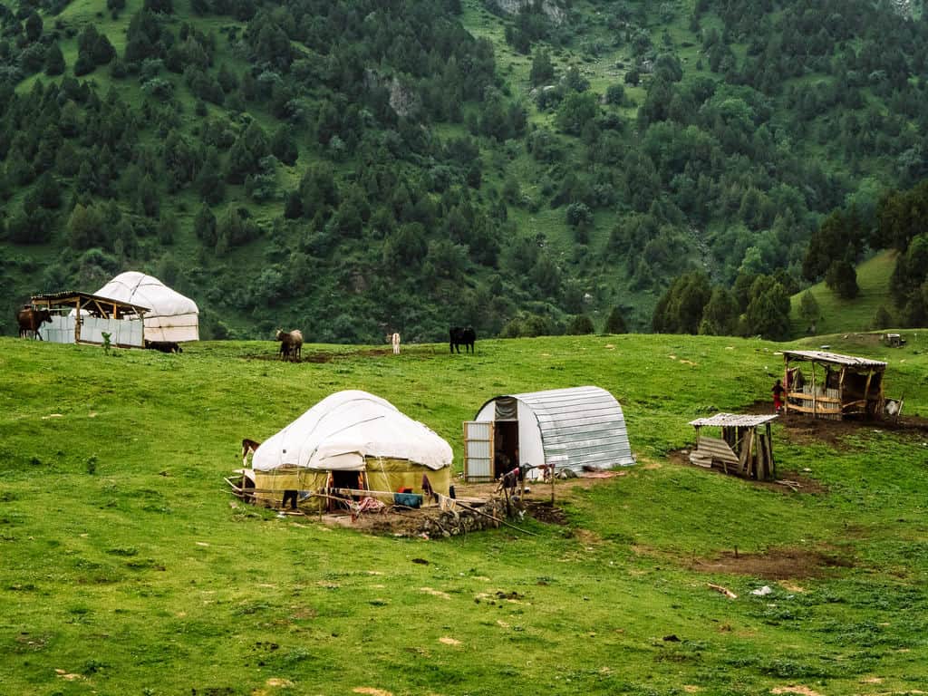
However, don’t get fooled by the word “summer” when you’re in these mountains. As you’re hiking in high altitudes, the weather remains cool (especially above 3000 meters) and is very unpredictable. You should always be prepared for cold and wet weather!!
The months June and July have the most rainfall, usually in the afternoon, as the snow on the peaks is melting. At the same time, this is when the valleys are the greenest and are filled with wildflowers.
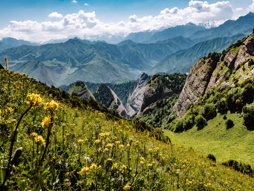
Hiking in the high Alay Mountains in September is also still doable but there is more chance for snowfall and the temperatures at night might already drop below zero.
You should always inform yourself about the weather conditions in advance! Never go or continue trekking when there’s poor visibility due to fog, snow, or heavy rainfall! It can be dangerous to hike when the trail is barely visible and/or wet and slippery.


2. Can I hike alone or do I need a guide?
If you want to do these hikes independently, you’ll need to arrange transport to the start and endpoints of the trails in advance, as no public transport goes out there. This can be arranged through CBT Osh/ Visit Alay in Osh.
You also need to make sure you have some sort of navigation with you as not all the trails are marked clearly. I’ve added the GPS coordinates, if there are any, in the description of the hikes.
Remember that you won’t have any wifi reception or phone signal in the mountains so you’ll need a map or GPS tool that you can use offline. Maps.me is a pretty accurate navigation app on which you can download the maps for offline use. However, not all the trails can be found on this app!
Also know that, unless you speak Russian, you won’t be able to communicate with the shepherds and families you meet along the way.

If you want my honest opinion, I wouldn’t recommend hiking by yourself in the mountains, unless you have lots of trekking experience and good navigation skills. Even then, it can be dangerous to go by yourself to such remote mountains as it’s easy to get lost or slip on the trail in bad weather conditions.
Some of the day hikes can be done alone but bring at least a hiking buddy along and let the people of your guesthouse or CBT of Osh office know about your hiking plans in case something happens. They will provide you with tips and information to help you on your trek and they also sell a trekking map of the area.
If you prefer to hike with a local guide, have everything organized (including transport, accommodation, food, porters, etc), and have more meaningful interactions with the people you meet along the way, then I highly recommend organizing your trek with Visit Alay in Osh or joining one of my Kyrgyzstan Adventure Tours (that I organize in collaboration with them).
Dreaming of hiking through wild mountain landscapes, horseback riding across alpine pastures, sleeping in yurts, and exploring remote valleys by 4×4 with a small group of adventurous travelers?
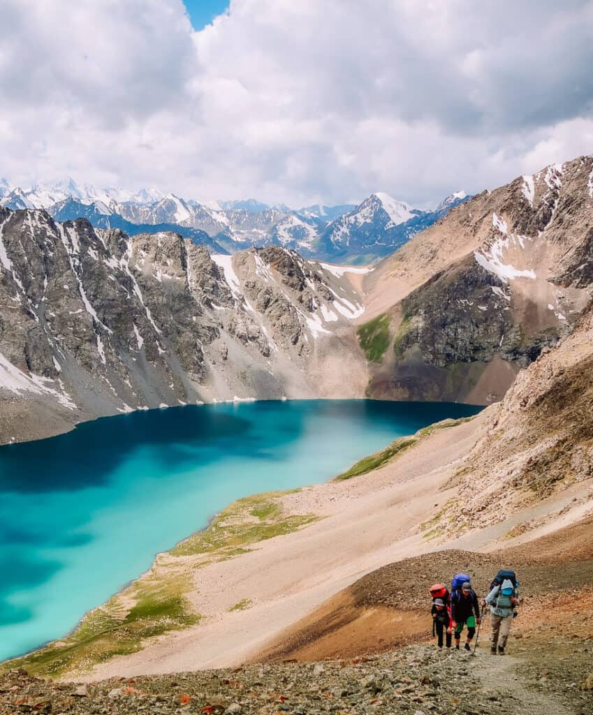
Transparency: My treks in the Alay Mountains were part of tourism development projects and they were provided to me without cost by Visit Alay in exchange for my evaluations.
I’ve been genuinely happy with the level of service provided by Visit Alay! They are also responsible for some of the infrastructure in the Alay Mountains and are focused on working with and supporting local family businesses.
Using their services will contribute to local communities as a portion of the profits goes into training and providing investment for family yurt camps, trekking guides, and other small businesses and local providers.
The prices for an organized trek depend on the number of persons and the duration of the trek. Contact CBT Osh/ Visit Alay for current prices.
3. Transport and Accommodation in the Alay Mountains
3.1 How to get around the Alay Region
There’s a network of marshrutkas (minibusses) and shared taxis that run between the towns and villages in the Alay region but there’s no public transport that goes to and from the start and endpoints of the hikes. Even hitchhiking is not always an option as most of the trailheads are so remote.
You’ll need to arrange a private transfer in advance if you’re hiking independently. You can book this through CBT Osh/ Visit Alay or ask at your local guesthouse to hire a local taxi.
I mention in each hike description where the trail starts and ends.
3.2 Accommodation options during multi-day treks
You can choose to either camp on your treks or stay in the yurt camps of shepherd families.
If you prefer camping, you can pitch your tent nearly anywhere you like. The downside is that you’ll have to carry all your equipment and food for the duration of the hike and that you need to be prepared for cold nights!
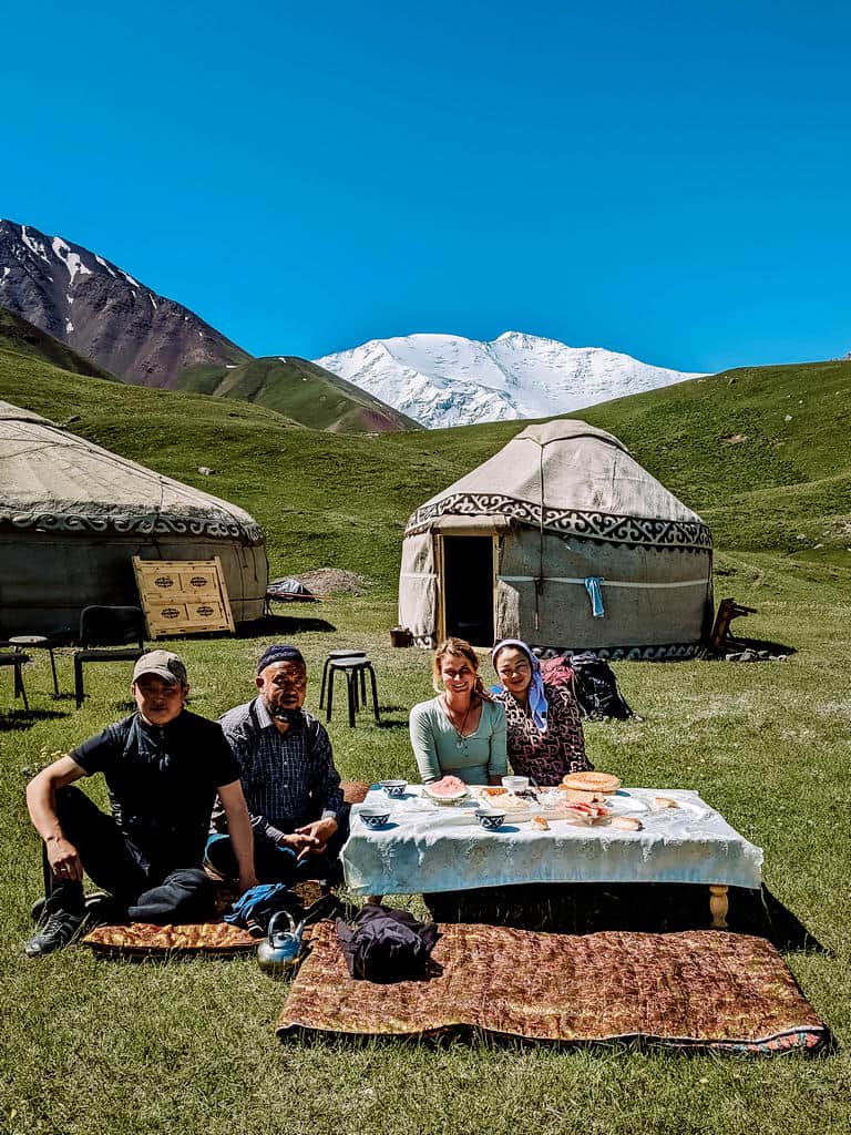
There’s a network of yurt camps along the hiking trails in the Alay Mountains where you can spend the night. This gives you the opportunity to stay with a shepherd family, interact with them and learn more about their life in the mountains.
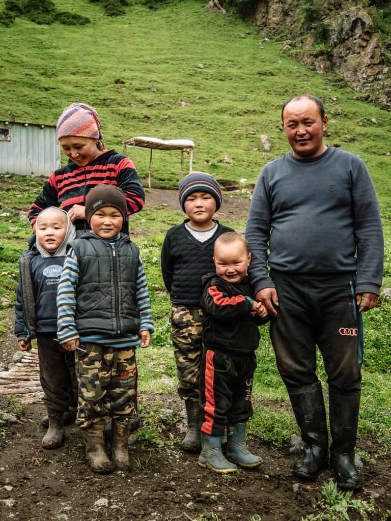
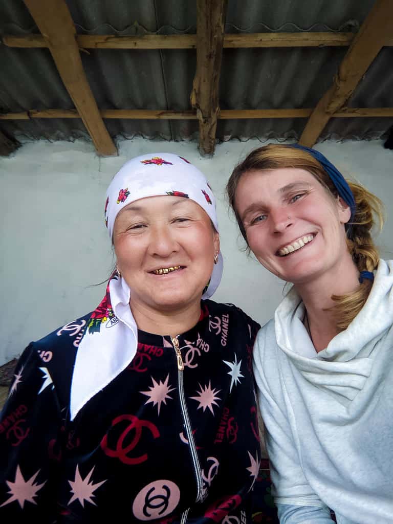
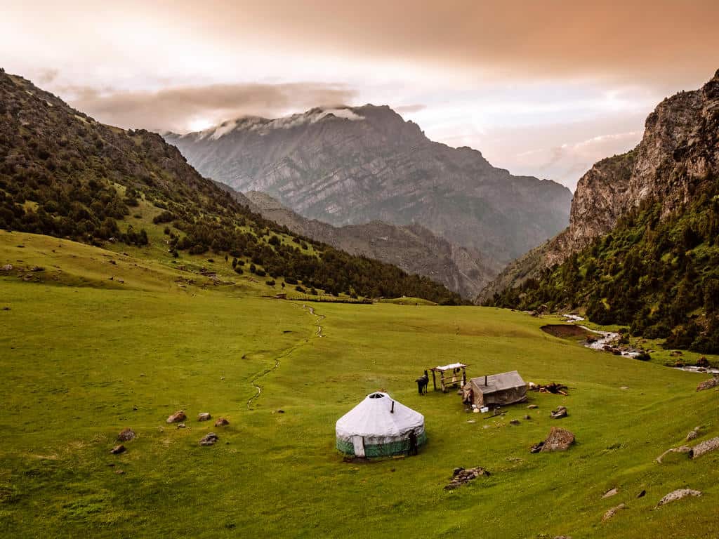
Usually, you’ll be sleeping in a separate yurt that you might or not might have to share with other hikers. There are stoves, sleeping mats, and tons of warm blankets in the yurts so you won’t be cold at night.
The family will also prepare you breakfast and dinner. The hearty meals consist of homemade bread, jams, cream, rice, potatoes, vegetables (like tomatoes, carrots, cucumbers) and meat. You’d only have to foresee snacks for lunch on your trek, which makes a big difference in weight!
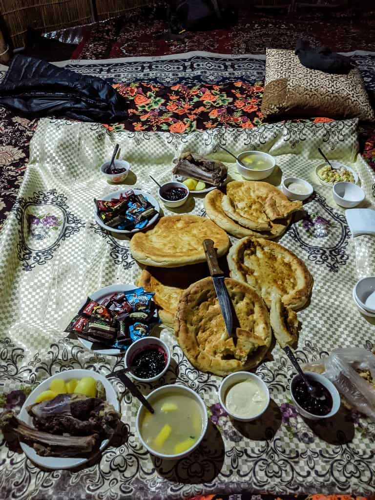
A yurt stay per night (dinner and breakfast included) currently costs around 1200 som per person (but it’s subject to change), and you’ll be contributing to the income of the local family.
You can’t book any of these yurt stays online, with the exception of the CBT Yurt Camp at Tulpar Kol Lake and Yurt Camp Lenin Peak on the shores of Tulpar Kol Lake. I stayed in the Lenin Peak one and can really recommend it!
If you plan to do the treks on your own, ask CBT Osh/ Visit Alay which ones are available. Some yurt camps might not be there due to circumstances or not taking in tourists.
4. What to pack for hiking in the Alai Mountains
1. Food
If you’re going on a day hike, you should only foresee some lunch as I assume you’ll return to your guesthouse or homestay at night. You can buy healthy snacks, such as nuts and (dried) fruits, at the Osh Bazaar in Osh.
I would also recommend buying your food in Osh if you’re planning on going to Sary Mogul Village to hike in the higher Alay Mountains. There are some small shops in the village but there isn’t much variety. I also didn’t see any big supermarkets or bazaars where you can buy fresh food.
Even if you prefer camping during your multiple-day treks, you can always have dinner and breakfast at a yurt camp. The food is warm and hearty, doesn’t cost much (around 600 som for both meals) and you contribute to the family’s income.
Just check in advance with CBT Osh/ Visit Alay which yurt camps could provide you with food.
2. Drinking Water
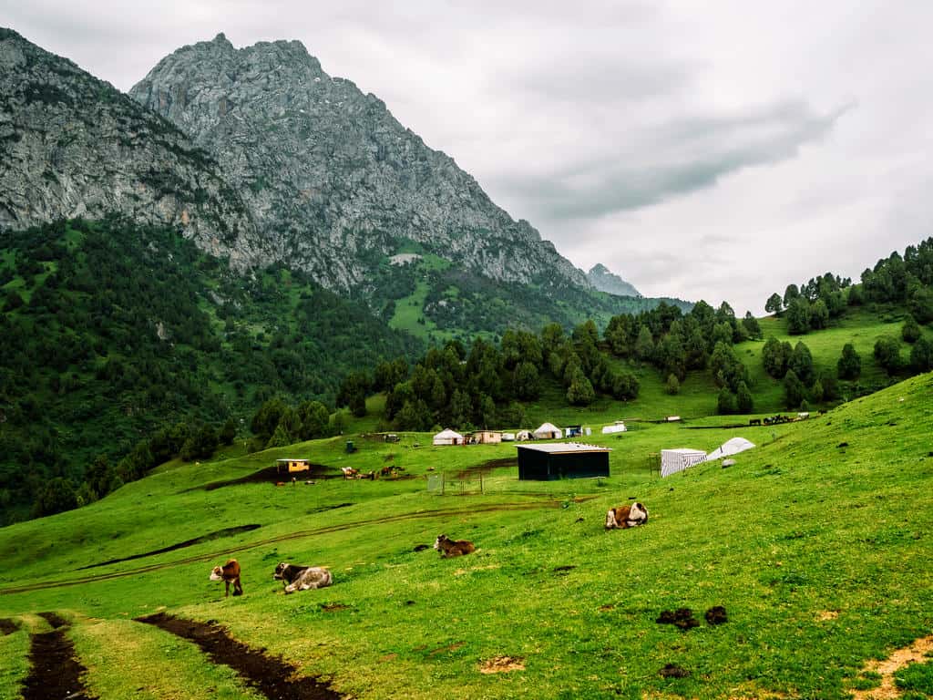
There’s no need to carry liters of bottled water as there are many rivers, streams, and freshwater springs in the Alay Mountains where you can refill your reusable water bottle. You can also request boiled water if you’re staying at yurt camps.
I also highly recommend bringing something to purify the water. Our stomachs aren’t used to the minerals and bacteria of the mountain water. I use the reusable water filter bottle from Lifestraw, and I never had any issues. You can also get a separate water filter or use a steripen.
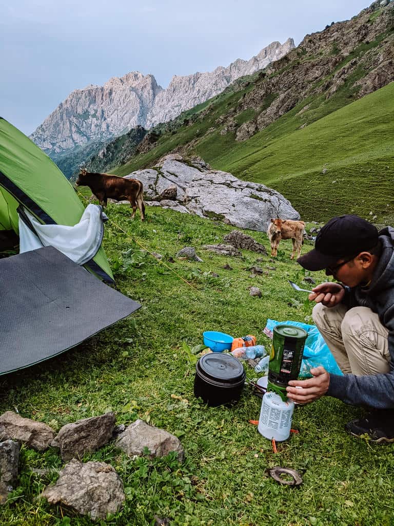
If you’re worried about getting sick, you could also bring a Jetboil Flash Camping Stove to boil the water. My guide on this trek had a Jetboil with him, and I was so amazed by its weight (super light!) and efficiency that I now have one as well!
3. Essential Packing List
Here’s what you definitely need to bring on a day hike in the Alay Mountains:
- Water- and windproof jacket and rain pants
- Rain cover for your backpack to keep your belongings dry
- Good hiking boots + pair of sandals so you can take off your hiking boots in the evening and put on a pair of light sandals with socks (don’t worry, there’s no fashion police in the mountains)
- Sunglasses, sunscreen and lip balm
- Hiking poles to support your steps and stability, especially during the steep downhill sections
- Eco-friendly toiletpaper
- Reusable water bottle with filter or steripen
- First-aid kit
When you’re going on a multi-day trek, you should also bring:
- 2 sets of hiking clothes (one set to wear, one set as spare)
- Warm clothes, thermal underwear, hat and gloves for the evenings
- Head lamp: you’ll need a head lamp to find the outdoor toilet at night as there’s also no electricity in the yurts
- Power bank to charge your phone/ camera batteries you won’t have electricity in the yurt camps
Top 3 day hikes in the Alay mountains
There are several day hikes near Osh and in the Alay Mountains.
You can go to the Kyrgyz Ata National Park and the Kara-Shagyl Gorge near Osh or go on a day hike to the Aga Chart Pass or Archaty Pass near Sary Mogul Village in the Higher Alay Mountains.
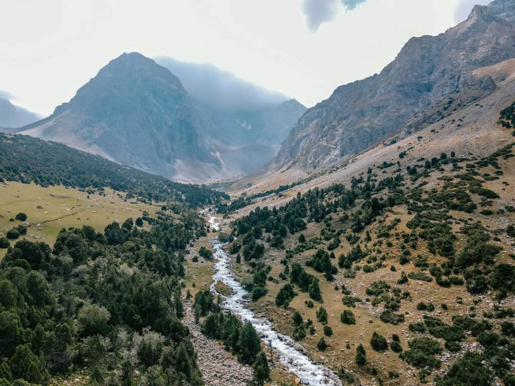
Ask the CBT in Osh or Sary Mogul for more information or organize a day tour with Visit Alay.
The following day hikes are my personal favorites in the Osh/Alay Region.
1. Kumbell Mountains Hike
- Trekking distance: 16km
- Duration: 6 hours
- Maximum elevation: 3154m
- Gain/ loss: 842m/ 1147m
- Difficulty: moderate
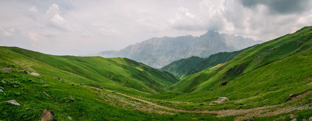
This hike is ideal when you’re staying in Osh and you’re craving the peace and coolness of the mountains for a day.
The Kumbell Pass hike is also part of the 3-day Scenic Aktor Pass Trek, which you can read more about in the section Top 3 multi-day hikes below.
The hiking trail starts at the Chyyirchyck Pass, about one-hour driving south of Osh. You can take a taxi to get there but it’s better to ask the CBT in Osh to arrange transport as the trail finishes in the Sari Oy Valley where you’ll have no reception to call for a taxi. You can also do this hike as a day tour with Visit Alay.
The Chyyirchyck Pass (2300m) is the first mountain pass on the Pamir Highway, coming from Osh, and offers fantastic views!

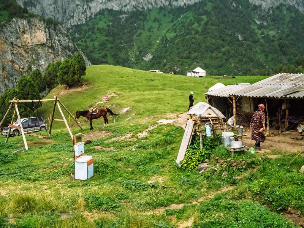
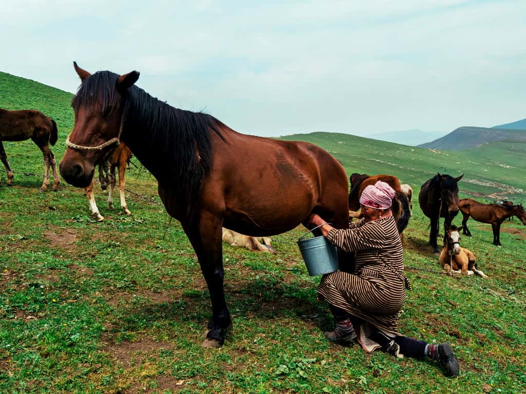
The trail starts a little steep, then gradually goes up while you pass many nomadic settlements. It’s very likely you’ll meet shepherds tending to their flocks and milking mares. This is also something I like about this hike as you get to see and experience the traditional nomadic life.
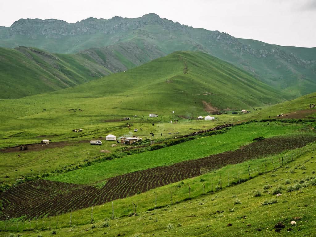
It takes around 2,5 hours to reach the Kumbell Pass at 3154 meters. The last part towards the pass is quite steep. Take small breaks on the way up and don’t forget to look back at the scenic views!
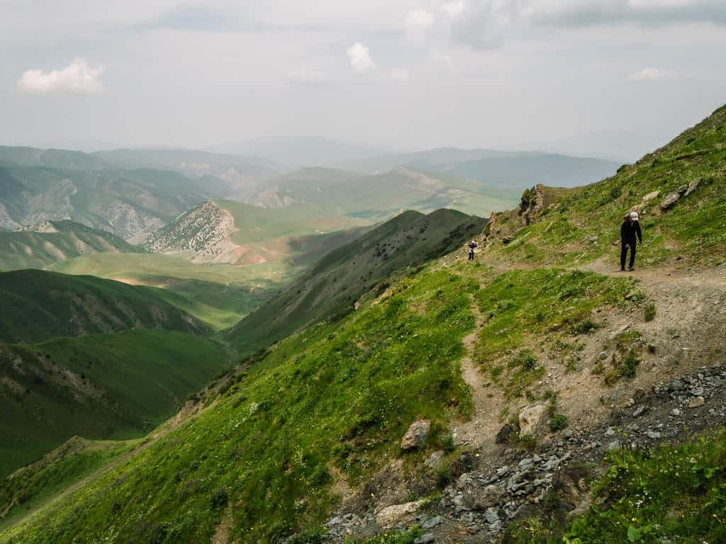
The Kumbell Pass is a great spot for a lunch break where you can enjoy the views and the peacefulness of the mountains.

The 3,5 hours descent from the pass to Sari Oy Valley takes you through lush grasslands and fragrant juniper forests. You’ll see the white yurts in the valley popping up in the distance.
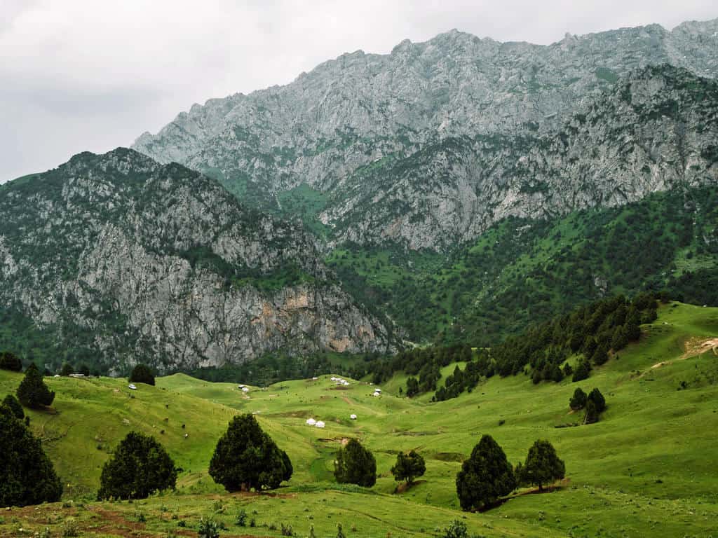
Don’t be afraid to visit some of these yurt camps upon arrival in the Sari Oy Valley. The locals will very likely invite you over for a cup of chai or kymys (mare’s milk) until you’re ready for the 2-hour drive back to Osh.
2. Day hike to Koshkol Lakes
- Trekking distance: 22km
- Duration: 7 hours
- Maximum elevation: 4133m
- Gain/ loss: 899m/ 899m
- Difficulty: moderate/difficult
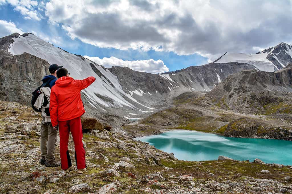
The trek to the Koshkol lakes, a series of stunning turquoise alpine lakes, is a great day hike if you’re staying in Sary Mogul village or Sary-Tash.
The trailhead starts in the Damjailoo valley, 10km from Kashka-Suu village. You should arrange a taxi in advance to drive you to and from Damjailoo to Sary Mogul or Sary-Tash. Your guesthouse or the local CBT will be happy to help.
It’s a relatively long day hike during which you’ll pass yak-filled jailoos (summer pastures) with views of Peak Lenin and the Pamir Mountains in the distance.
The panoramic view that opens up at the Kara-Shagyl Pass (4113m) over the lakes and the glaciers above them is incredible!

To return, follow the same trail back to the starting point. You can find the GPS coordinates for the Kosh Kol hike here.
3. Tulpar Kol to Lenin Peak Basecamp and Traveller’s Pass
- Trekking distance: 20km
- Trekking time: 5 hours
- Maximum elevation: 4150m
- Gain/loss: 760m/ 760m
- Difficulty: moderate
Peak Lenin is one of the tallest peaks in Central Asia. This 7134 meters tall mountain peak, straddling the border of Kyrgyzstan and Tajikistan in the Pamir-Alay mountains, is on a clear day almost always visible from a distance.
When you go on this day hike to Traveller’s Pass, you’ll get a fantastic close view of Lenin Peak and its surrounding glaciers from this 4150m high ridge.

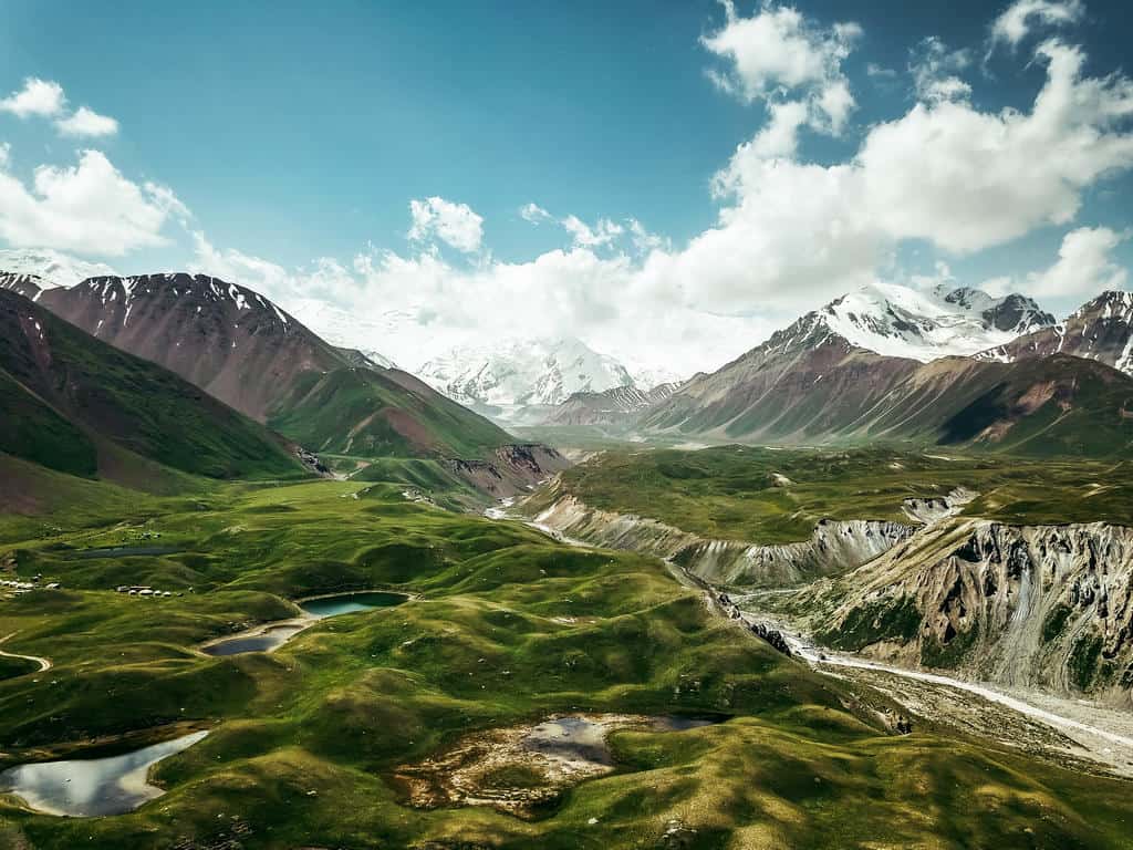
The hike starts at Tulpar Kol. This alpine lake, lying at an altitude of 3500m, is the largest of a string of 42 lakes.
The landscape is very colorful with the red surrounding hills, the green meadows, and the white snowcapped peaks of the Pamir mountains in the background.
On clear days, the view of Lenin Peak is reflected on the water’s surface.

Tulpar Kul is a 25km drive from Sary Mogul. You can take a taxi or try and hitch a ride there.
The trail to Lenin Peak Basecamp and Traveler’s Pass is very clear (get the GPS coordinates) and starts right behind the yurt camp on the southern shore of Tulpar Kul.
You’ll have to cross a bridge 10 minutes into the hike and the trail continues until you reach Lenin Peak Basecamp.

You might meet some mountaineers who are preparing for the climb to Lenin Peak. It’s quite a popular climb as it’s known to be the “easiest” 7000-meter summit in the world.
However, many people underestimate this climb. It’s not something you do in a day. Climbing Peak Lenin is a 3-week expedition and it’s a dangerous one. You’ll pass a memorial of mountaineers who died during their attempt to “conquer” this mountain peak.

Pass the basecamp and continue following the trail. It goes gradually up and you might meet other hikers, mountaineers, and porters on horses coming back from one of the 3 altitude training camps near Lenin Peak.
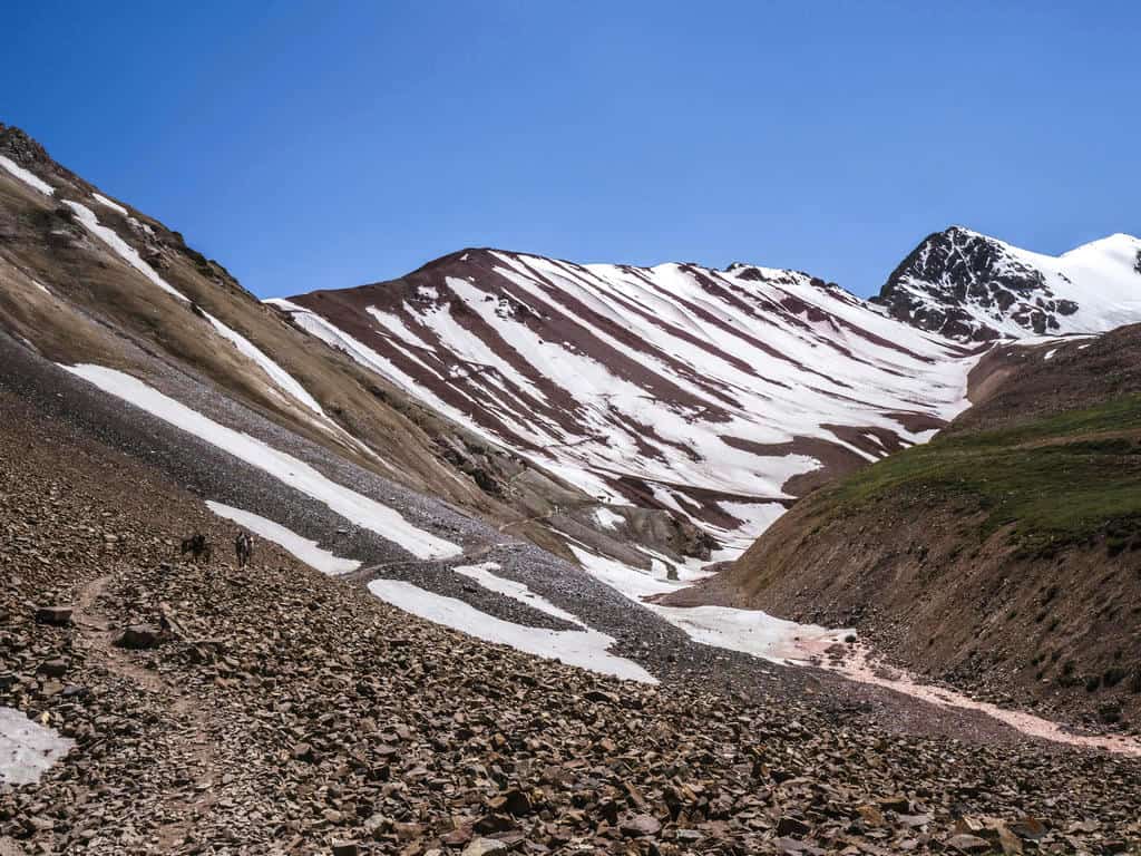
The last 20 minutes to Traveler’s Pass are the hardest. The path becomes a steep zigzag trail but once you reach the top of the ridge and see the magnificent view of glaciers tumbling off the majestic Lenin Peak, I guarantee that you won’t stop smiling for a while!
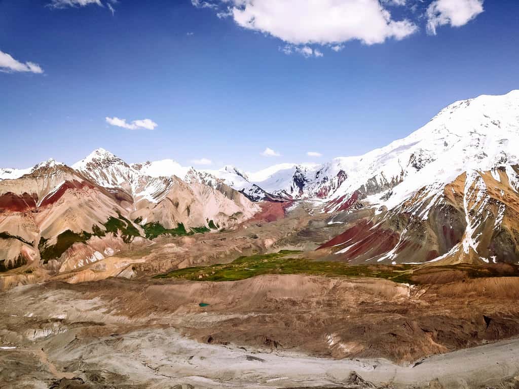
This pass is named “Traveler’s Pass” as it’s the passage for trekkers, mountaineers, and porters to hike towards the higher camps before the final ascent to Lenin Peak.

There are 3 more altitude training camps on the way to Lenin Peak’s summit: Camp 1 (4400m), Camp 2 (5300m), and Camp 3 (6100m). The mountaineers go back and forth between these camps and the basecamp during their 3 weeks expedition before the final climb to the summit.
You have to take the same trail to return to Tulpar Kul (around 2 hours hiking). You can get a ride back to Sary Mogul or spend the night in one of the yurt camps on the shores of Tulpar Kul.
I stayed at the family-owned Lenin Peak Yurt Camp. You can also book your stay at the CBT Yurt Camp.
Important note: You need a Border Zone Permit to visit Lenin Peak Base Camp as it’s close to the border with Tajikistan. It takes 10 to 20 days to issue the permit, so you need to apply and pay in advance. CBT Osh or Visit Alay can help you obtain this permit.
This hike is also part of the 12-day Best of Alay Trekking Adventure!

Top 4 multi-day hiking trails in the Alay Mountains
Here’s an overview of the 4 most beautiful multi-day treks in the Alay Mountains.
1. Scenic Ak Tor Pass Trek

- Trekking distance: 40km
- Trekking time: 3d/2n
- Maximum elevation: 3557m
- Gain/loss: 2372 m/2315 m
- Difficulty: moderate
This 3-day trek takes you into the lower Alay Mountains, just a couple of hours away from Osh.
Along the trail, you’ll see many varied stunning landscapes – from rolling hills and lush valleys filled with grazing animals to impressive panoramas over rugged mountain peaks.
You’ll also meet many nomadic shepherds who very likely will invite you in their yurt for some bread and tea. This offers a great opportunity to gain some insight into the Kyrgyz nomadic life.
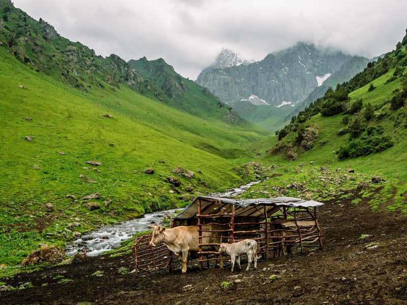
The highlight of this trek is crossing the Ak Tor Pass (3557m) where you get incredibly scenic views over the Alay mountain range (hence the name “Scenic” Ak Tor Pass Trek).
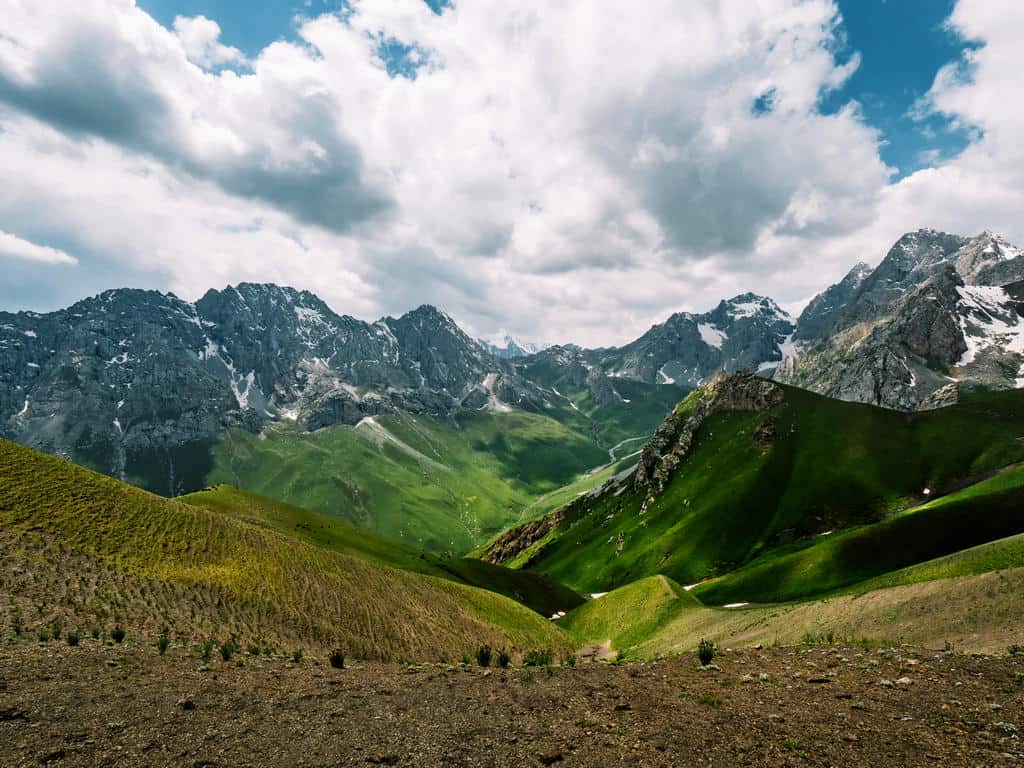
I did this trek on foot but you can also do it on horseback. This hike was also a great acclimatization trek before I did the 7-day Best of Alay Mountains Trek (see below).
Here’s a short overview of the Scenic Ak Tor Pass Trek:
- Day 1: Osh City to Chyyirchyck Pass to Kumbell Pass to Sary Oi Valley
- Day 2: Sary Oi Valley to the Base of Ak Tor Pass
- Day 3: Base of Ak Tor Pass to Ak Tor Pass to Murdash Valley to Osh City
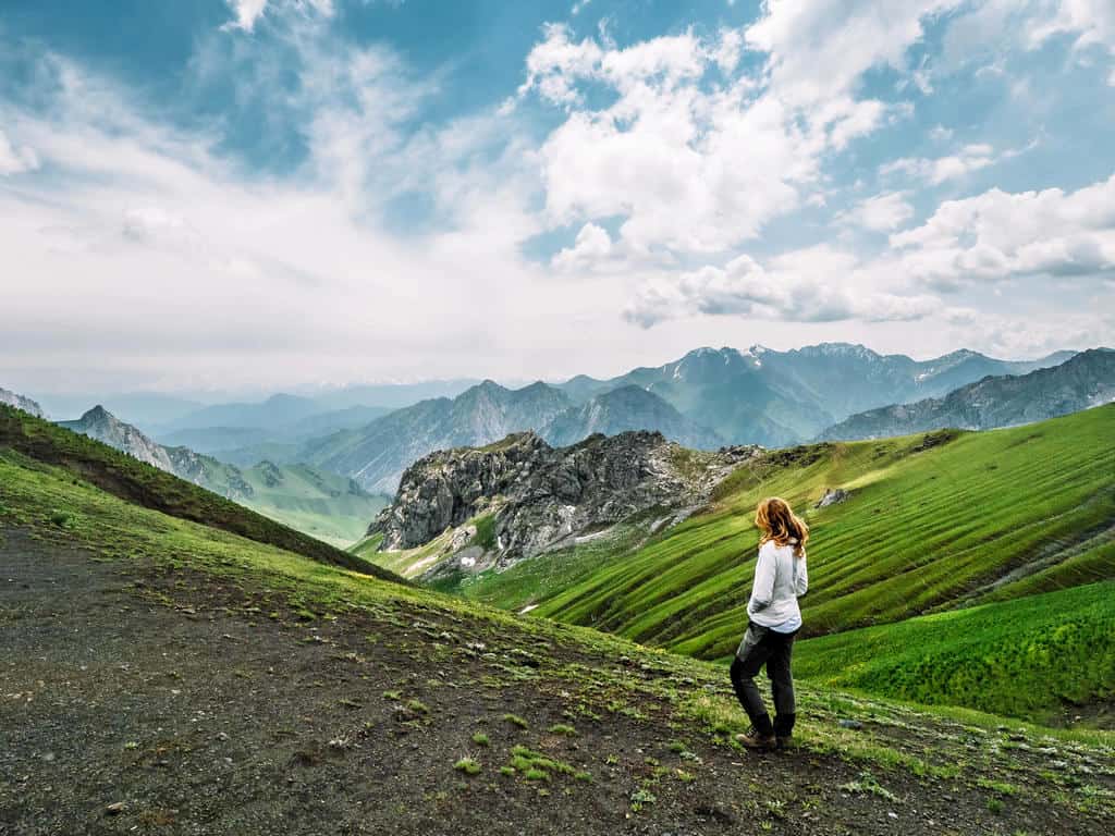
Here’s the detailed day-by-day itinerary for the Scenic Ak Tor Pass trek:
Day 1: (OSh -) Chyyirchyck Pass – Kumbell Pass (3154m) – Sary Oi Valley
Trekking distance: 16km trekking time: 6 hours max elevation: 3154m gain/loss: +842m/ -1147m
The Scenic Ak Tor Pass Trek starts at the Chyyirchyck Pass (2300m), about one hour driving south from Osh.
The first day of this trek has the exact same route as the Kumbell Mountains Hike. You can find the description for this day in the section of the day hikes above.
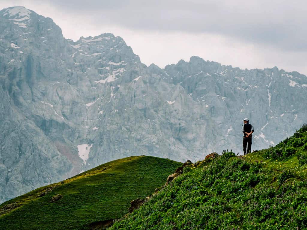
You’ll arrive at Sary Oi Valley in the late afternoon where you can spend the night in one of the yurt camps of a local shepherd family.
Day 2: Sary Oi Valley – Base of Ak Tor Pass
Trekking distance: 12km trekking time: 4/5 hours max elevation: 2912m gain/loss: +856m/ -227m
Today is a rather easy day of hiking. There aren’t many steep parts on the trail but be careful as the small paths can be slippery, especially when it rained.
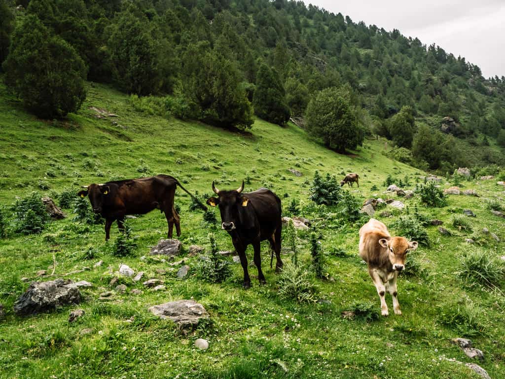
After enjoying a traditional breakfast at the yurt camp, follow the trail over the bridge and along the Jyly-Suu river. The trail goes through juniper forests and green valleys filled with grazing cows and horses.
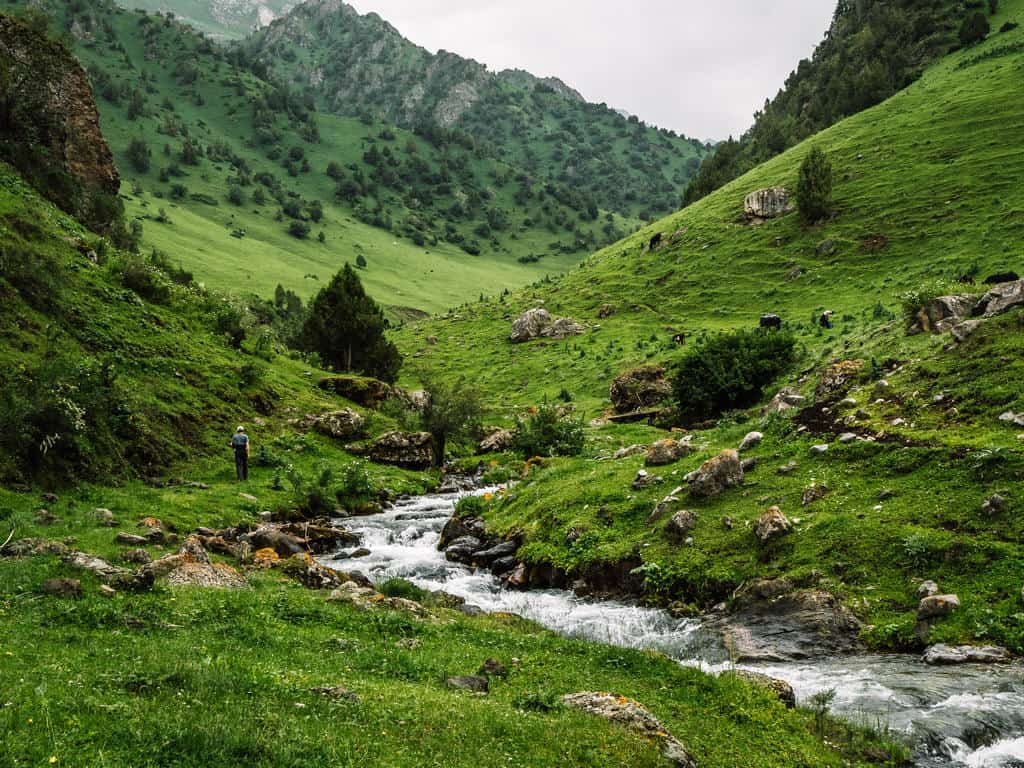
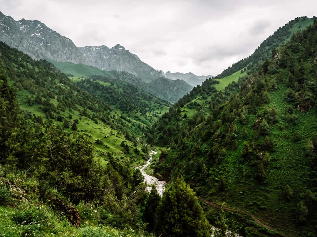
You’ll have to cross the river a few times. There are wooden or stone bridges where you can usually cross easily.
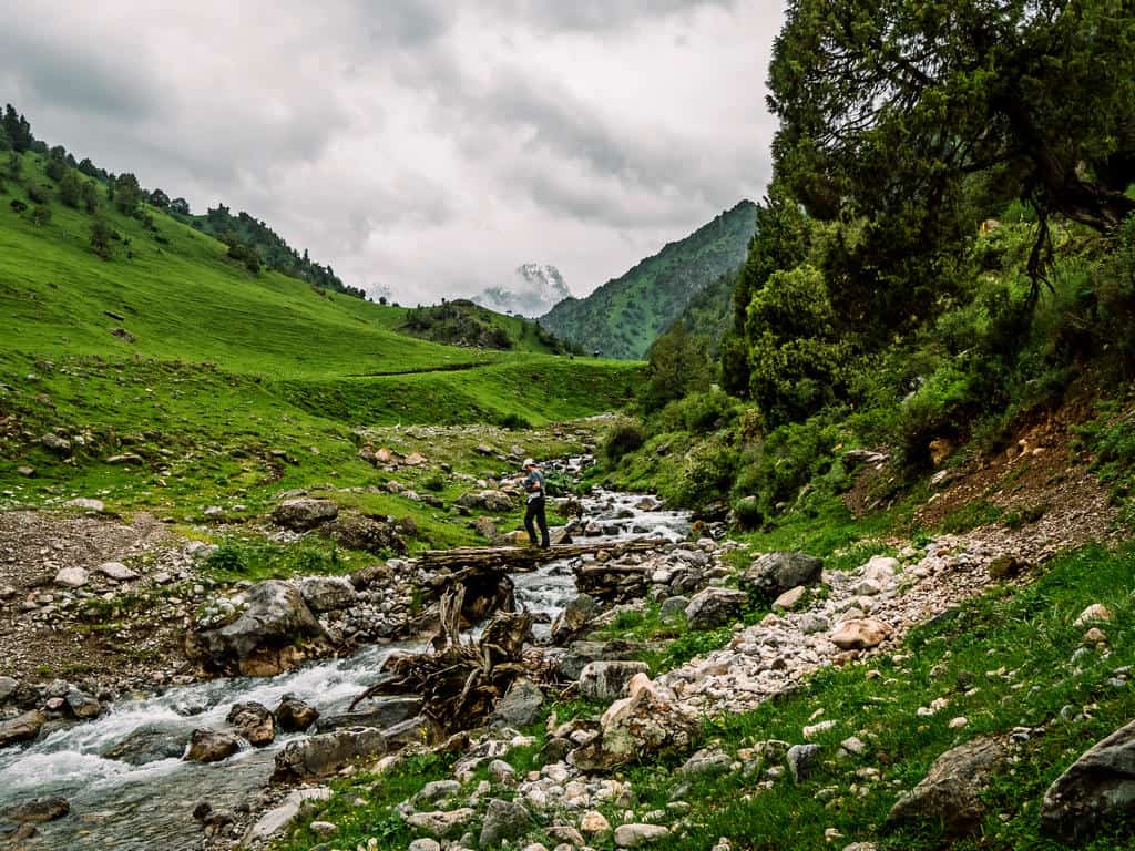
It might happen though that some have been washed away, especially at the beginning of summer when the melting snow is feeding the roaring river.
If you’re doing this trek without a guide, be very careful when crossing the river. The water level might be deep, the current strong, and make sure you don’t lose track of the trail!
You’ll also come across some nomadic settlements. Don’t be shy to say hello to the shepherds! They love visitors and you’ll experience what Kyrgyz hospitality entails!
Tip: bring some sweets or small toys for the kids, they’ll love it!!

You’ll arrive at the base of Ak Tor Pass in the early afternoon. On a clear day, you’ll even spot Ak Tor Peak standing high and mighty at 4000 meters.
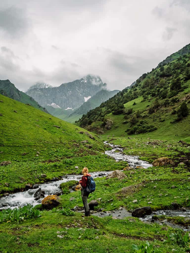
There is usually a yurt camp at the base. However, there was none when I was there in 2021 so my guides and I set up camp there. If you’re not bringing any camping equipment on this trek, check in advance the availability of the yurt camps with the CBT of Osh.
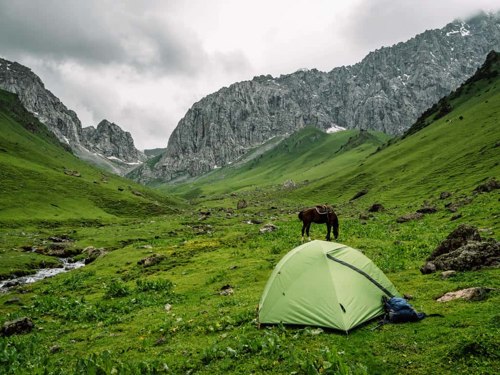
Day 3: Base of Ak Tor Pass – Ak Tor Pass – Murdash Valley (- Osh)
Trekking distance: 12km trekking time: 6 hours max elevation: 3557m gain/loss: +658m/ -1183m
You’ll start the day by ascending the Ak Tor Pass (2 hours). Cross the river and follow the trail south towards the foot of the pass. From there the path goes up between rugged mountain walls towards the top of the pass.
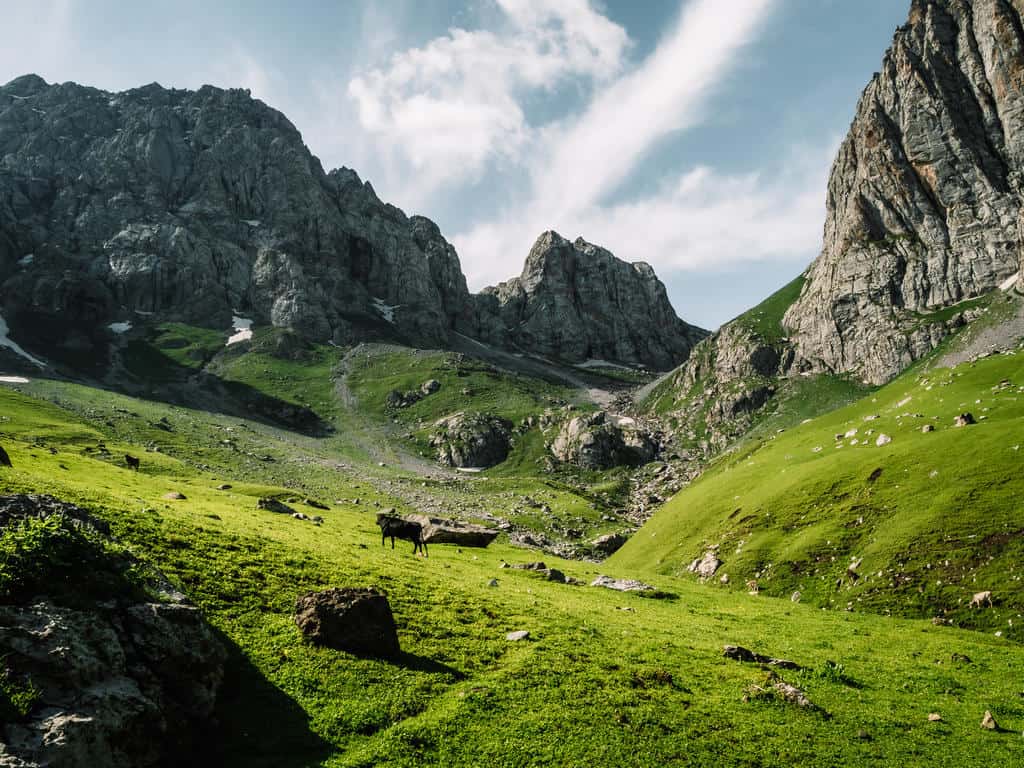
The trail isn’t extremely steep but is challenging at parts due to a few climbs. I loved the moment when we arrived at the top of Ak Tor Pass (3557m). The panoramic views over the layers of mountains and granite peaks were really spectacular!
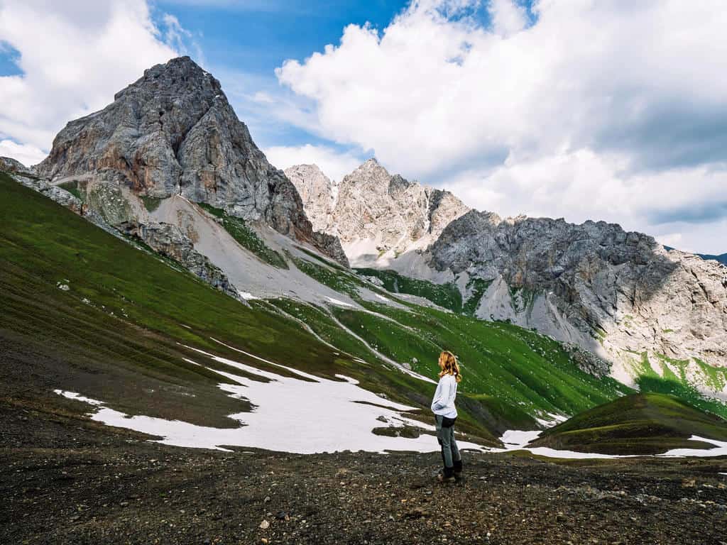


The views remain majestic and unfold in all directions while you follow the trail along the ridge before descending the pass.
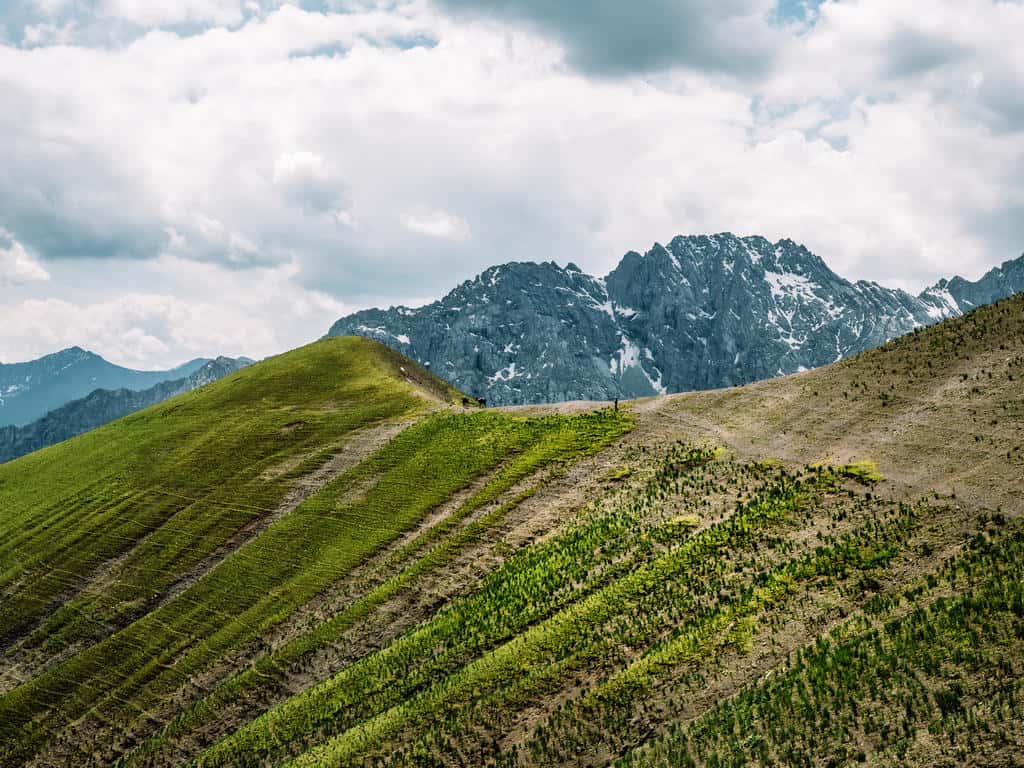
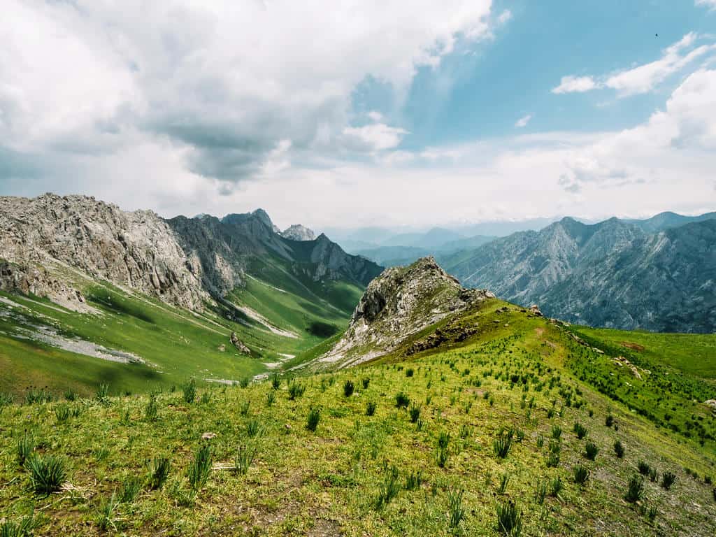
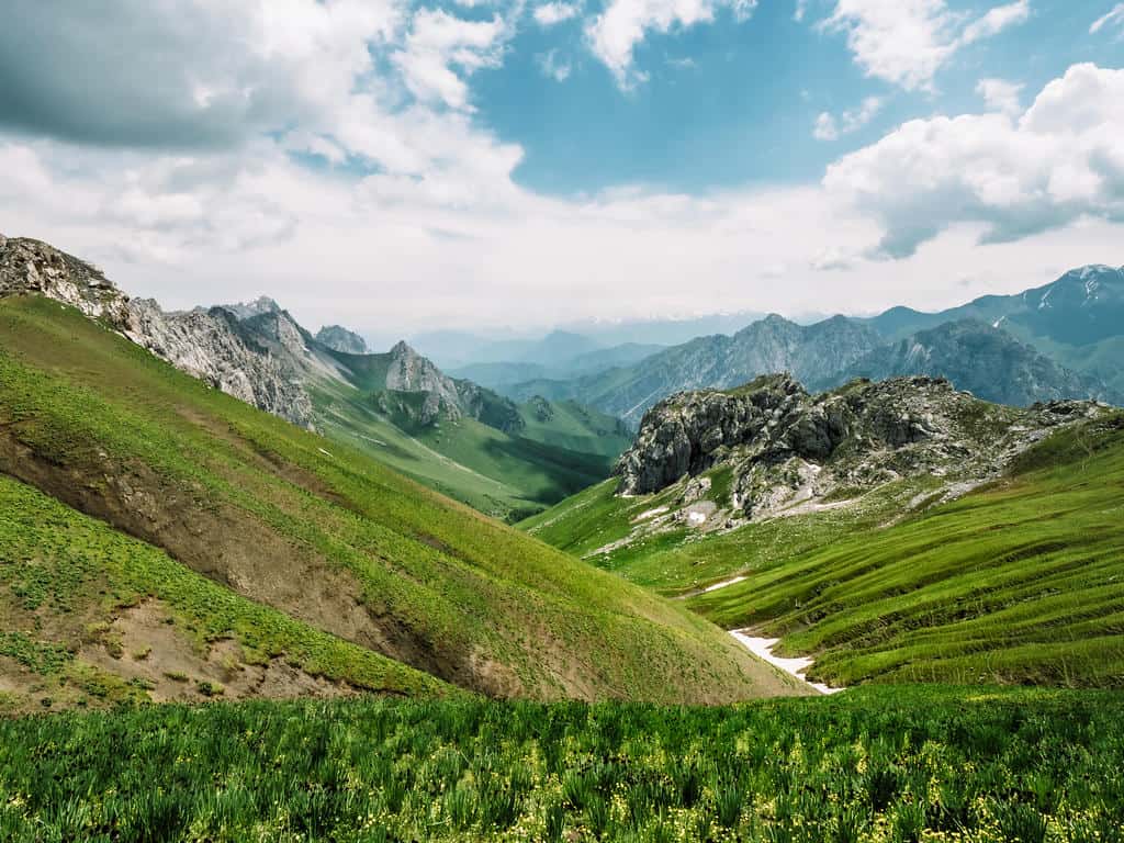
The descent isn’t very steep but the path is small and cuts through long grass. You have to be careful where you place your feet as there are many marmot holes.

Continue down through the hills until you reach the Murdash Vally. Keep hiking down along the stream until you reach an unpaved road. The trek ends at this unpaved road.
You should arrange pick-up in advance as it’s another 16km to get to the main highway leading to Osh. From there it’s another 2 hours of driving before you arrive in Osh city.
You could, however, spend the night at a nearby yurt camp and hike the 16km along the unpaved road through the gorge until you reach the main highway. From there you could try to hitch a ride back to Osh.
This hike is also part of the 12-day Best of Alay Trekking Adventure!
Note: If you’re physically very fit and used to mountain trekking, you could do this trek in 2 days by combining day 2 and day 3. If you decide to go for this option, leave Sary Oi on the second day very early in the morning so you can cross Ak Tor Pass by noon so you have more chances for clear views and fewer chances of rain.
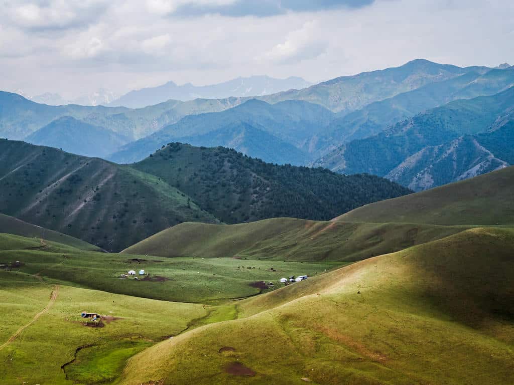
2. Truly Nomadic Land
- Total trekking distance: 71km
- Total trekking days: 5d/4n
- Maximum altitude: 3557m
- Total gain/loss: +4453 m / – 4261 m
- Difficulty: moderate
This 5-day trek is an extension of the 3-day Scenic Ak Tor Pass Trek and can be done on foot or on horseback.
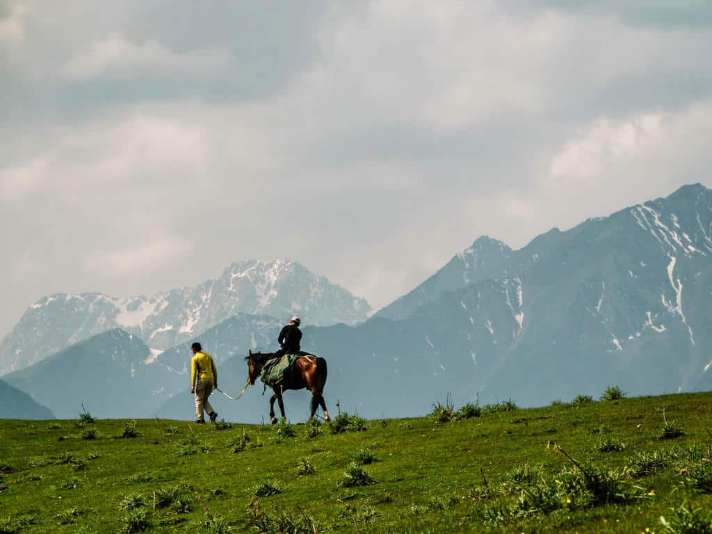
The Truly Nomadic Land Trek takes you through some of the accessible highlights of the lower Alay Mountain Range.
You not only get to see stunning landscapes with highlights such as the Airy Bell Pass (2956m) and the Ak Tor Pass (3557m) but this trek is called “Truly Nomadic Land” as it’s also focused on the interaction with the local nomadic people and learning about their lives.
Here’s a short overview of the itinerary. You can find the GPS coordinates here.
- Day 1: Osh City to Kara-Bulak Village to Tepshi Camp
- Day 2: Tepshi Camp to Airy Bell Pass to Sary Oi Camp
- Day 3: Sary Oi Camp to the Bottom of Ak Tor Pass
- Day 4: Ak Tor Pass to Murdash Valley to Uch Chat Camp
- Day 5: Uch Chat Camp to Koshmoinok Pass to Murdash Village
This trek is also part of the 10-day Feel Like a Nomad Horse Riding Tour!
3. Be a Nomad Hike
- Total trekking distance: 32km
- Total trekking days: 3d/2n
- Maximum altitude: 3150m
- Total gain/loss: +2111m / -2834m
- Difficulty: moderate
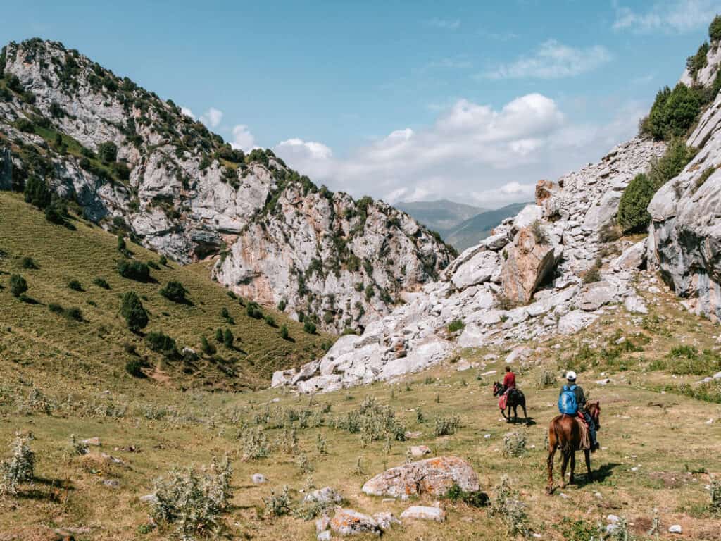
The “Be A Nomad Hike” is a 3-day trek that can be done either on foot or on horseback. The trek goes from Kara Bulak to Chychyk and can be done in either direction.
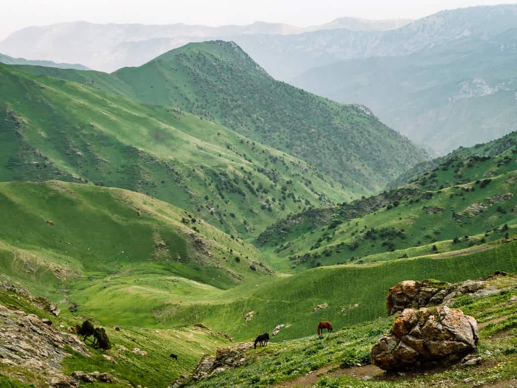
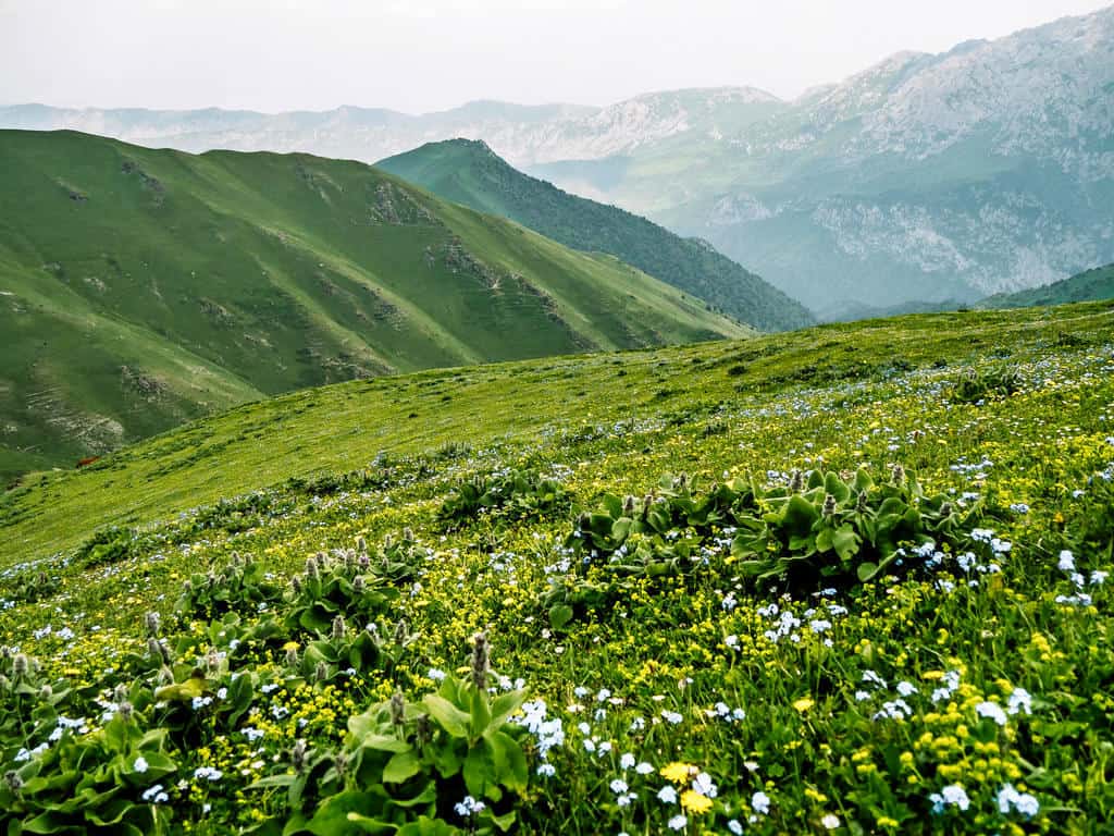
This adventure gives people a chance to experience both the natural beauty of the Kyrgyz landscape, with its rolling green hills, snow-capped mountains, and red rocks, as well as the nomadic heritage of the Kyrgyz people still alive in the summer jailoo tradition.
This hike is a shortened version of the 5-day Truly Nomadic Land Trek. The trail on the first day is the same as on the 3-day Scenic Ak Tor Pass as you also cross the Kumbell Pass. However, this trek is easier than the two above as it doesn’t go over the Ak Tor Pass.
Here’s a short overview of the trek:
- Day 1: Chychyk to Sari Oi Jailoo (similar to day 1 on the Scenic Ak Tor Pass)
- Day 2: Sari Oi Jailoo to Kara Bulak Jailoo
- Day 3: Kara Bulak jailoo to Kara Bulak village
I haven’t done this trek (only the first day) myself but a friend of mine did and he wrote a detailed day-by-day itinerary and shared his experiences in the Be A Nomad Hiking Guide.
4. Best of Alay Trek
- Total trekking distance: 90km
- Total trekking days: 7d/6n
- Maximum altitude: 4306m
- Total gain/loss: +4435m+ / -4827m
- Difficulty: moderate-hard
The 7-day Best of Alay Trek is my favorite multi-day hike in the Alay Mountains. Heck, it’s even one of my favorite long-distance treks I’ve done so far!

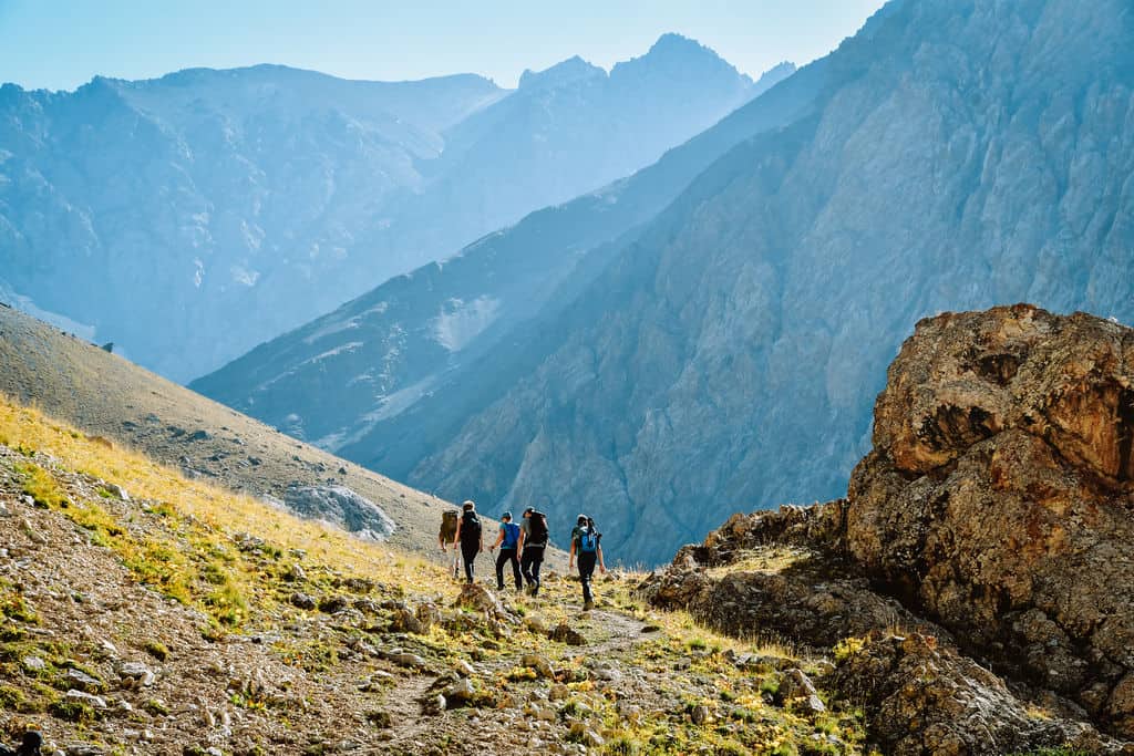
It’s not an easy trek and it can only be done on foot. You have to cross three mountain passes above 4000 meters, the trail is at various points very steep and covered in loose scree, and you also have to deal with the unpredictable weather in the mountains…
The fabulous views and the experience of hiking multiple days in a row in the remote and wild beauty of the higher Alay mountain range are more than worth the challenge!!
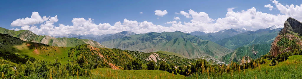
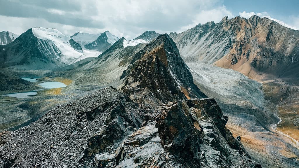
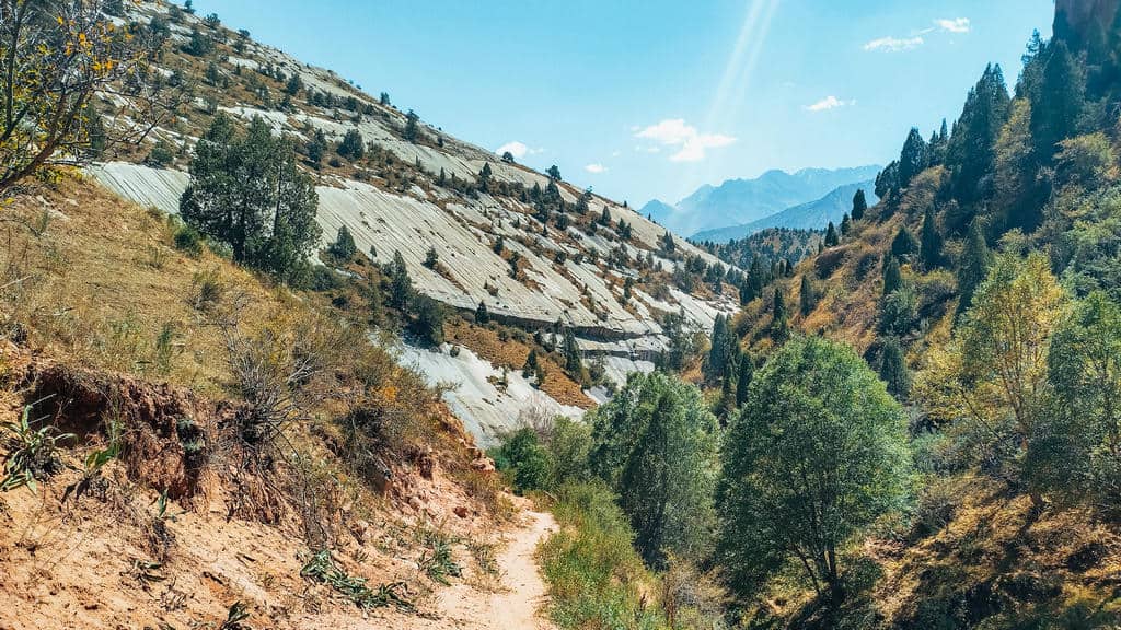
The landscapes of this mountain range are incredibly varied – from rugged mountain passes with panoramic views over snowcapped peaks, glaciers, and alpine lakes to lush river valleys and colorful gorges!
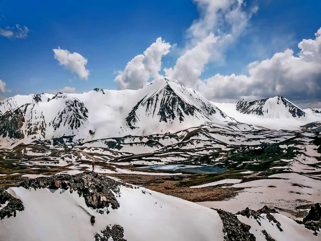
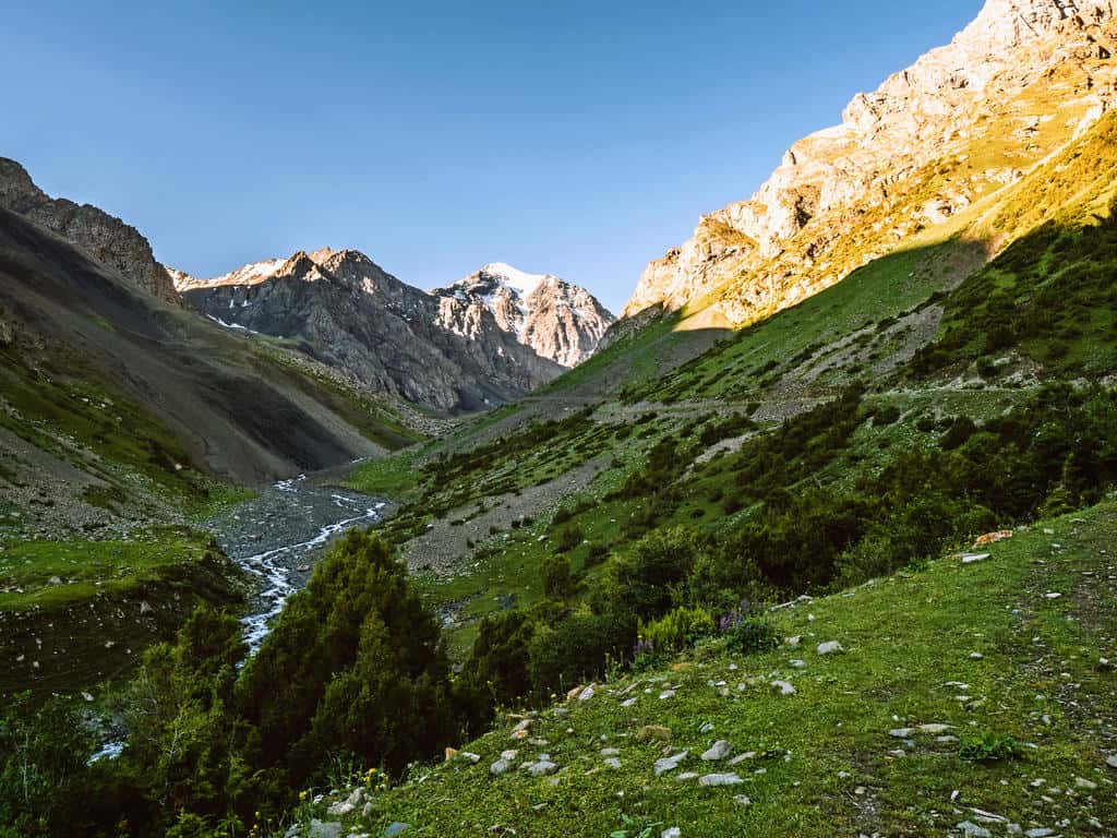

Some of the highlights are the otherworldly Sary Mogul Pass (4306m), the Three Dragons Gorge (3200m), Jiptick Pass (4185m), and – last but not least – Lenin Peak Basecamp (3500m) and Traveller’s Pass (4100m) that offers views over the snow- and glacier-covered Lenin Peak (7,134 m).
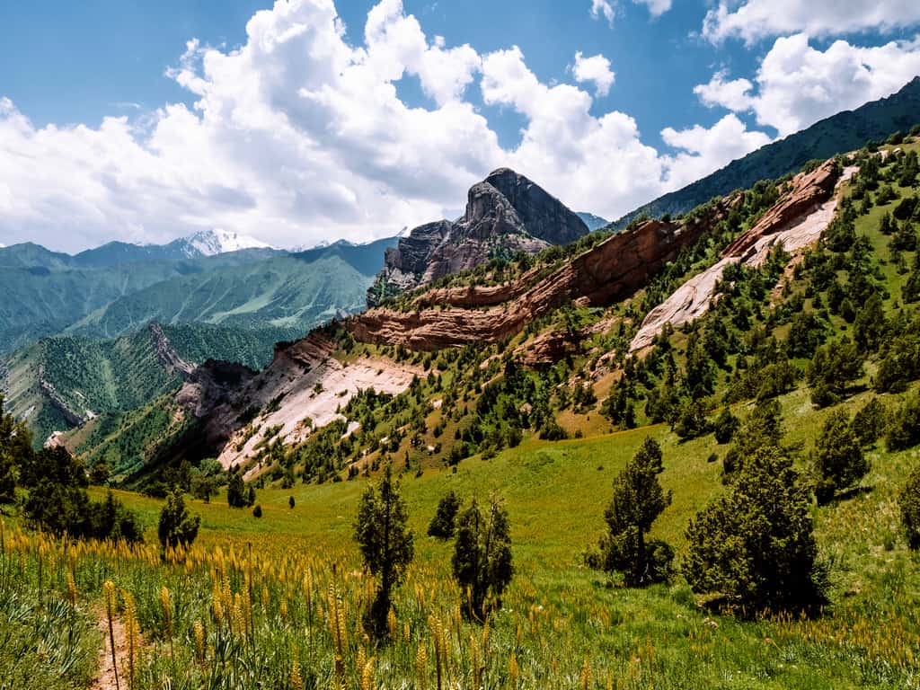

You also get the opportunity to meet and interact with the semi-nomadic shepherd families who live in yurt camps and tents in the alpine meadows of the Alay Valley during the summer months.
This trek starts 16km northeast of Sary Mogul Village.
Here’s a short overview of the 7-day Best of Alay Itinerary:
- Day 1: Sary Mogul Village – Beshkol Lakes – Sary Mogul Pass – Campsite
- Day 2: Campsite – Kyzyl Shoro Village – Koshmoinok Pass – Koshmoinok Valley
- Day 3: Koshmoinok Valley – Sarybell Pass – Three Dragons Gorge – Kojokelen Village
- Day 4: Kojokelen Village – Jiptick Jailoo
- Day 5: Jiptick Jailoo – Jiptick Pass – Darbazatash Valley
- Day 6: Darbazatash Valley – Sary Mogul Village – Tulpar Kol Lake
- Day 7: Tulpar Kol Lake – Lenin Peak Basescamp – Traveller’s Pass – Tulpar Kol Lake/ return to Sary Mogul Village or Osh
You can find the detailed day-by-day hiking itinerary and additional information about this trek in my Best of Alay Mountains Trekking Guide!

How to get to the Alay Mountains
The Alay Mountains are located in the southwest of Kyrgyzstan, close to the border with Tajikistan, China, and Uzbekistan.
If you’re traveling from Tajikistan (via the Kyzylart – Bor Dobo border crossing) or from China (via the Irkeshtam border crossing), you can travel directly to Sary Mogul by (shared) taxi.
If you’re traveling from Uzbekistan (via the Dostuk border crossing) or from within Kyrgyzstan, the easiest way is to first go to Osh, where you can find direct transport to Sary Mogul.
How to get to Osh
If you’re already in Kyrgyzstan and traveling in or near the capital city of Bishkek (including the regions of Chuy and Issyk Kul), the fastest way would be to take a quick 40-minute domestic flight from Bishkek to Osh.
If you prefer to travel overland from Bishkek to Osh, you can take a shared taxi from the New Bus station in Bishkek. This ride costs around 1200 som per person, and it’s an 11-hour journey from Bishkek to Osh. There are no buses or marshrutkas (minibusses) between Bishkek and Osh as the route goes across several mountain passes.
If you’re coming from any other big town or city in Kyrgyzstan (Naryn, Talas, Jalal-Abad, etc.), you’ll quickly find a shared taxi or mashrutka from the local bus station of this town/city to Osh.
Where to stay in Osh
Osh is the second-largest city in Kyrgyzstan so you have plenty of accommodation options.
Here are some of my recommendations for Osh:
- Budget-friendly (<€20 per person/night):
- Mid-range (€20 – €50 per person/night):
- Luxury (>€50 per person/night):

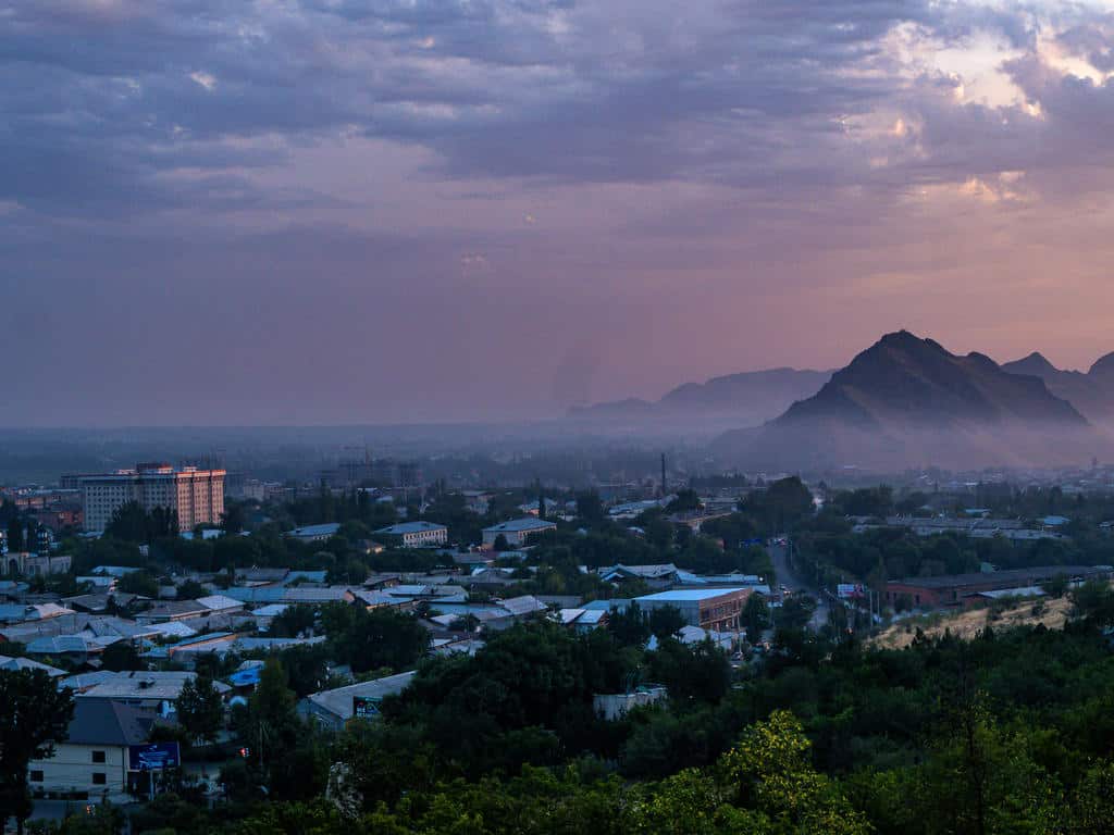
How to get to Sary Mogul from Osh
You can get from Osh to Sary Mogul by (shared) taxi or mashrutka.
There’s one daily mashrutka that goes from Osh to Daraut-Korgon via Sary Mogul. It usually leaves around 2 pm from the Old Bus Station, which is located in the city center at the head of Osh Bazaar near Aravanskaya.
Know that these marshrutkas only leave when full, so it could take a while before you leave, or it might be full if you show up at 2 pm. It’s still better to go a bit earlier and wait until the van is full. It costs around 400 som per person, and the journey takes about 5 hours.
You can also take a shared taxi to Sary Mogul at the New Bus Station. These also don’t leave until the car is full, but several shared taxis run throughout the day. It costs 500 som, and the journey takes around 4-5 hours.
The best and most comfortable way to get from Osh to Sary Mogul is by private transfer. You pay 4500 som for a private car that fits 4-6 people, and the journey takes around 4 hours. You can book your private transfer through Visit Alay/ CBT Osh or CBT Sary Mogul.
Where to stay in Sary Mogul Village
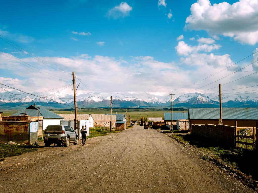
There are several homestays and guesthouses in Sary Mogul.
I stayed at Guesthouse Lenin Peak, a lovely family-run guesthouse with colorful and well-kept rooms!
All my photos in this post are taken with the DJI Mavic Air 3 and the Panasonic Lumix G90, the ideal camera for outdoor and travel photography as it’s compact and weatherproof!
I hope this trekking guide and my photos inspired you to go hiking in the Alay Mountains in Kyrgyzstan! If you have any more questions, please don’t hesitate to contact me or leave a comment below. If you decide to go on this trek, I’d love to hear about your experiences!!
Disclaimer: This guide has been created in partnership with Visit Alay to help develop and promote tourism in the Alay Mountains in Kyrgyzstan. All thoughts and opinions are, as always, my own.
Related Posts:

Kyrgyzstan Itinerary: The Ultimate 7, 10, 14 & 21-Day Travel Guide
Why Visit Kyrgyzstan: 12 Reasons why I fell in love with this special country in Central Asia
The best things to do around Issyk Kul Lake in Kyrgyzstan: Highlights, Hiking & one-week itinerary

The Complete guide to the World Nomad Games 2026 in Kyrgyzstan

Naryn Travel Guide: 12 Best Hikes & top things to do in Naryn Kyrgyzstan
Kyrgyzstan Money Guide: Costs of Living and traveling in Kyrgyzstan in 2026
The best way to get from Tashkent to Osh and from Osh to Tashkent, crossing the Dostyk border (Kyrgyzstan – Uzbekistan)

Best Tips and complete Packing List for Traveling in Central Asia in 2026 – When to go and what to wear when visiting Central Asia
